Moab’s Best Canyoneering Trips

Medieval Chamber

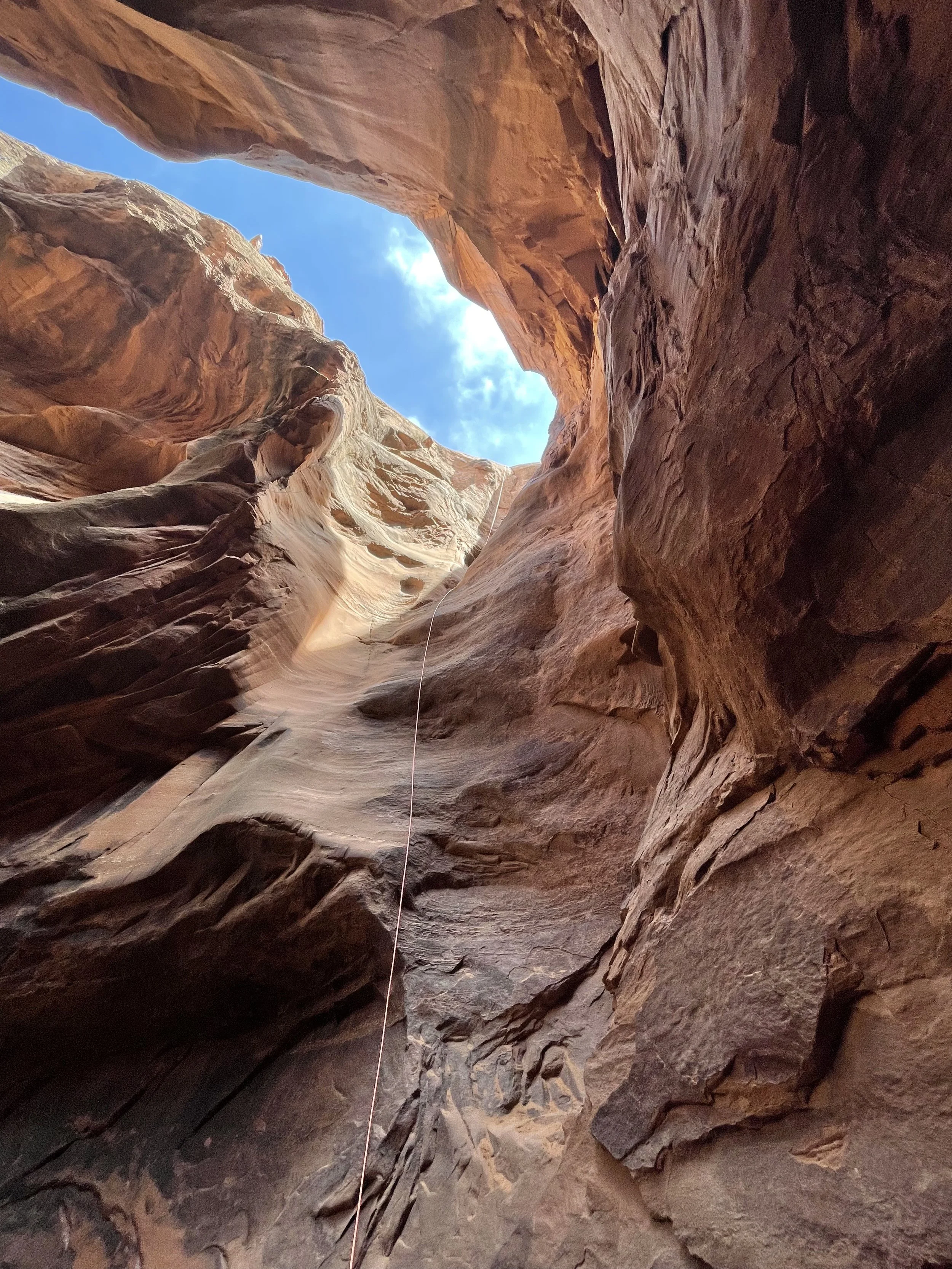
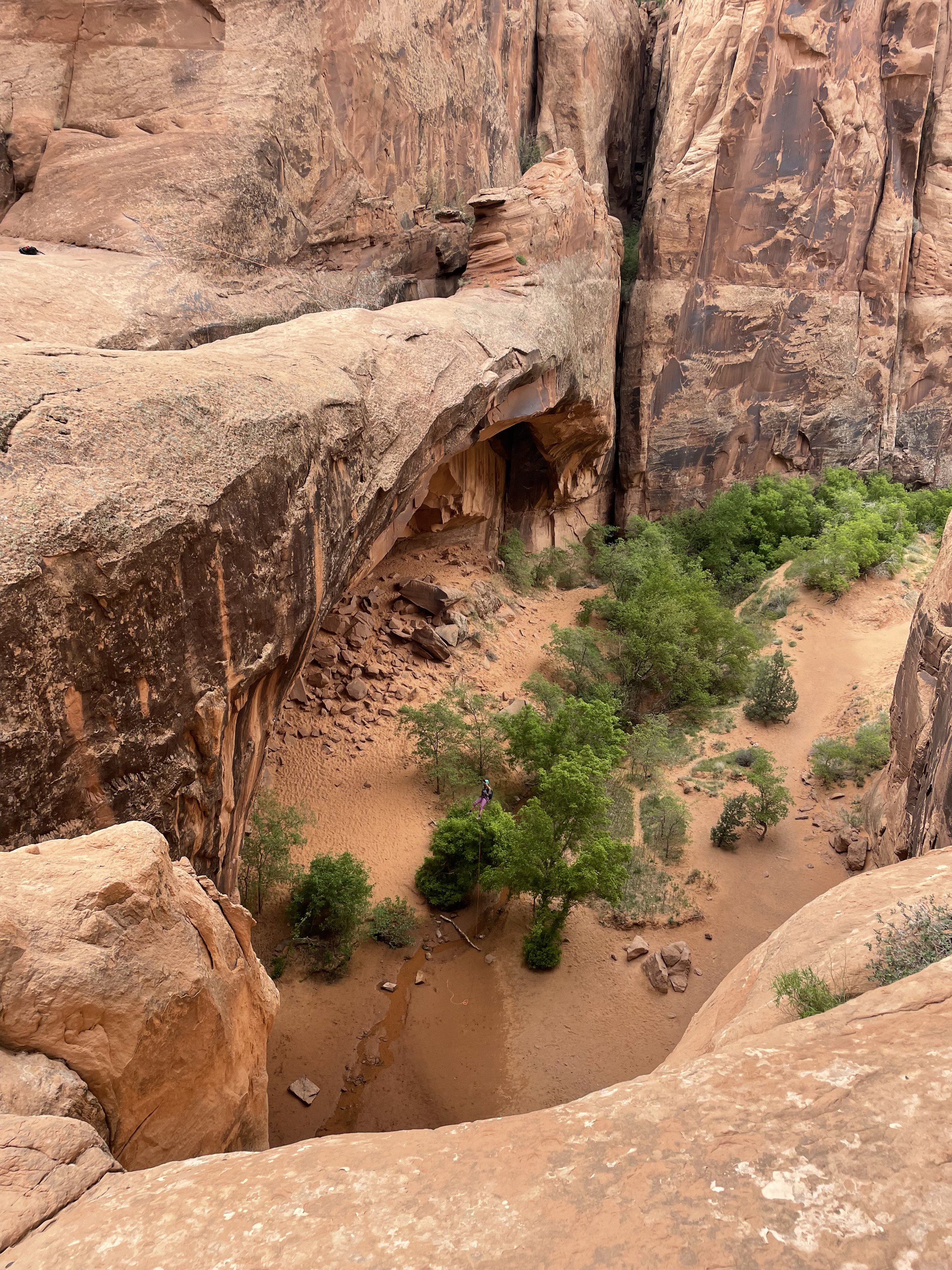
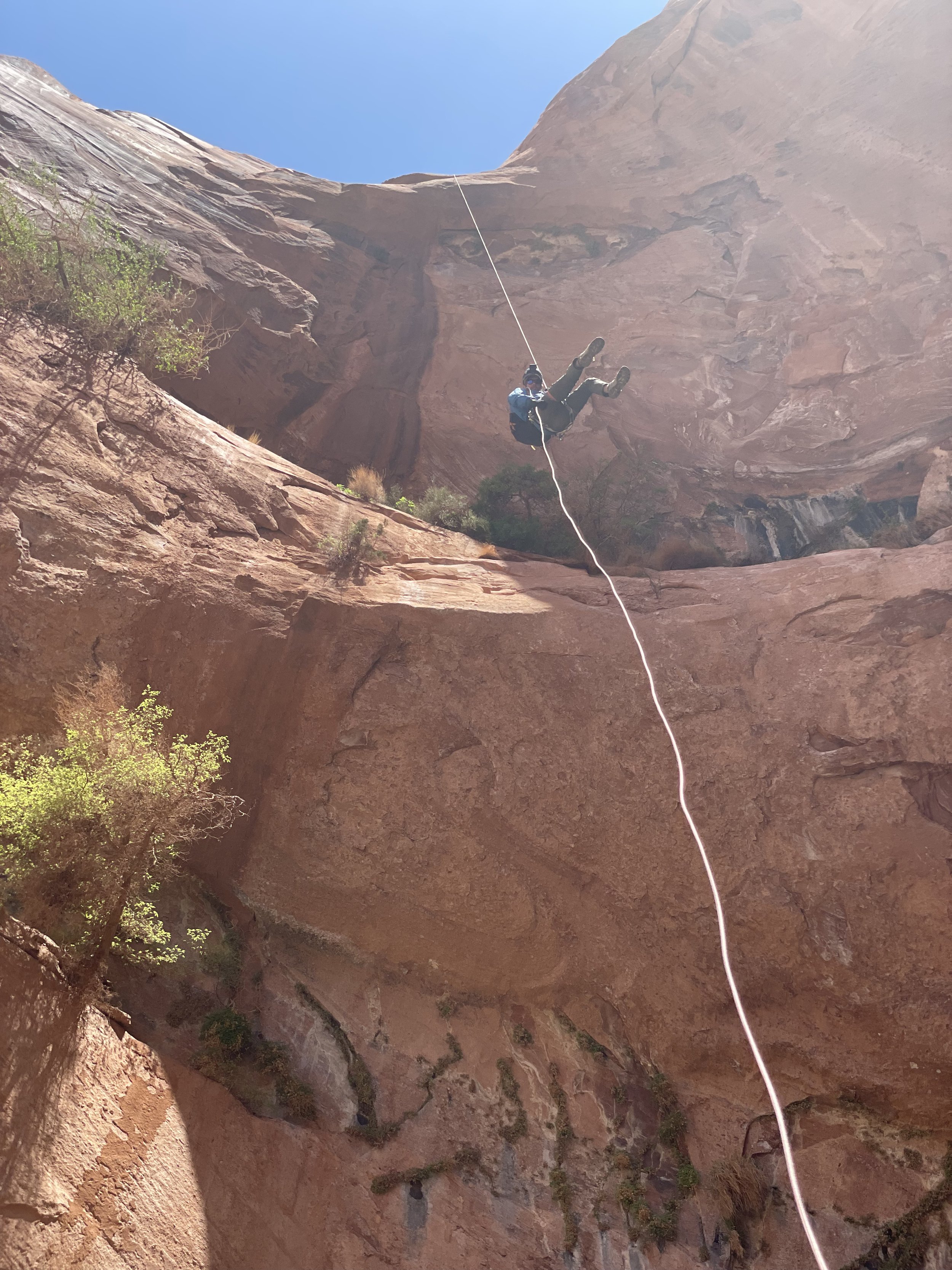
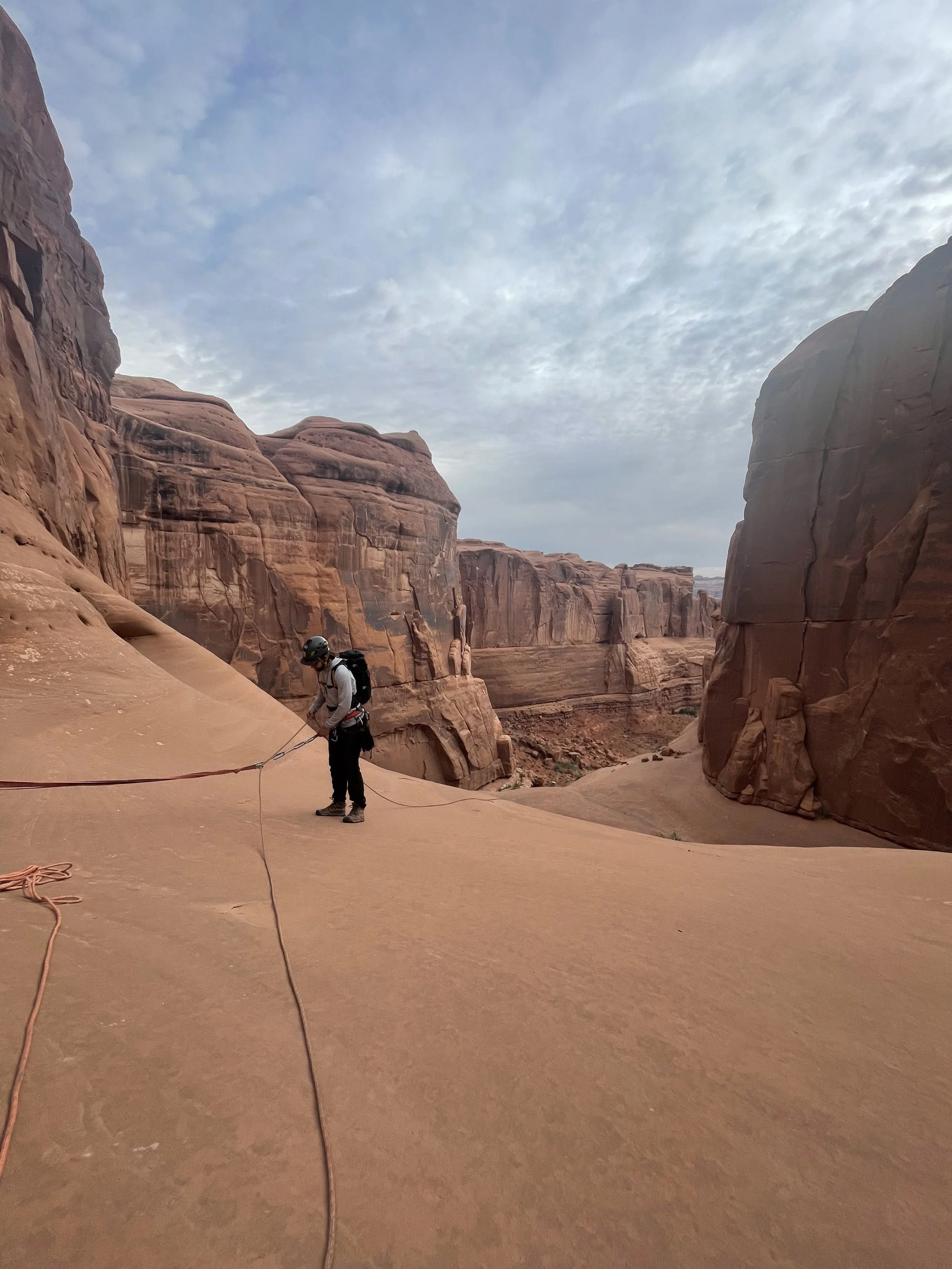
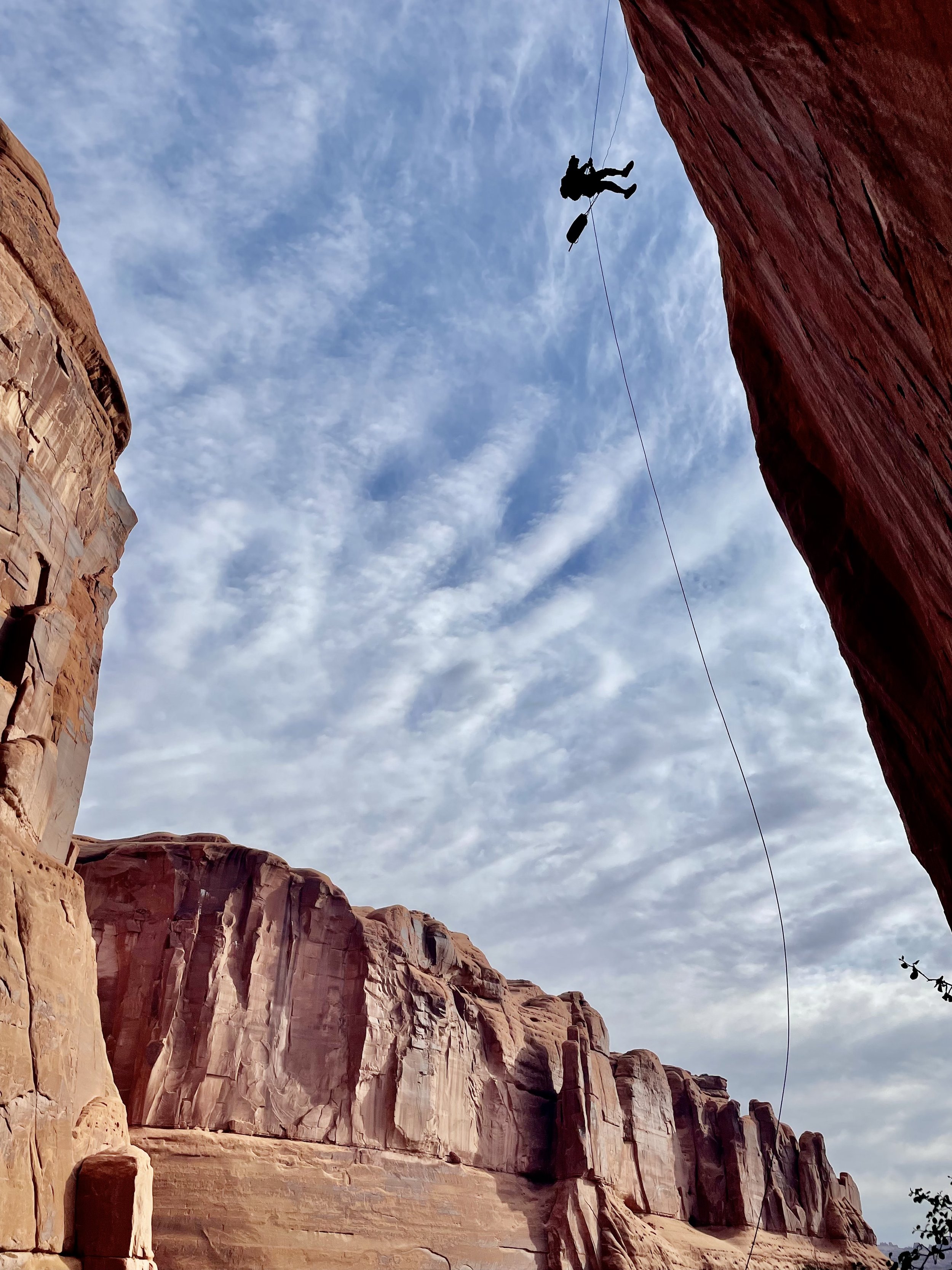
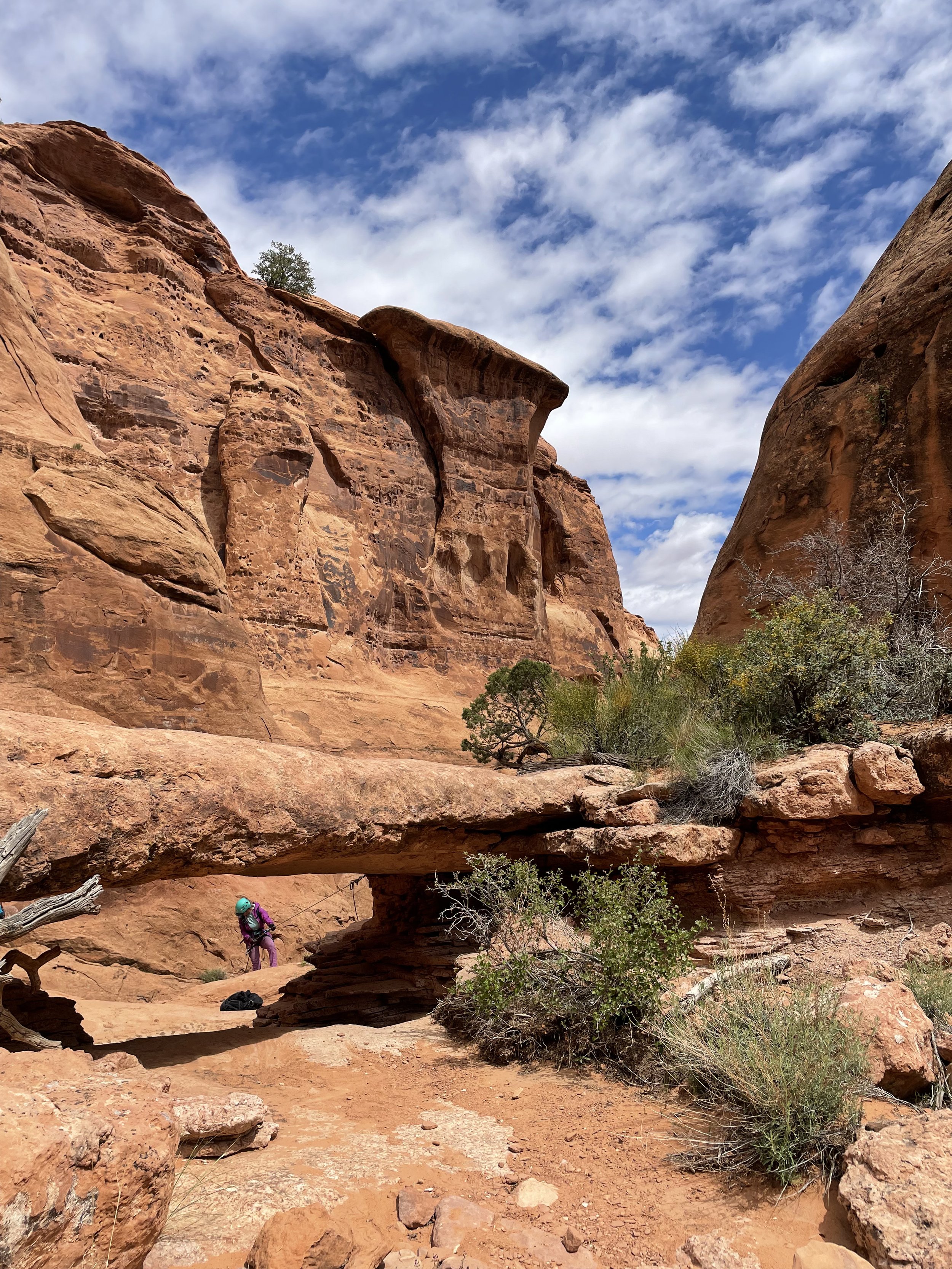
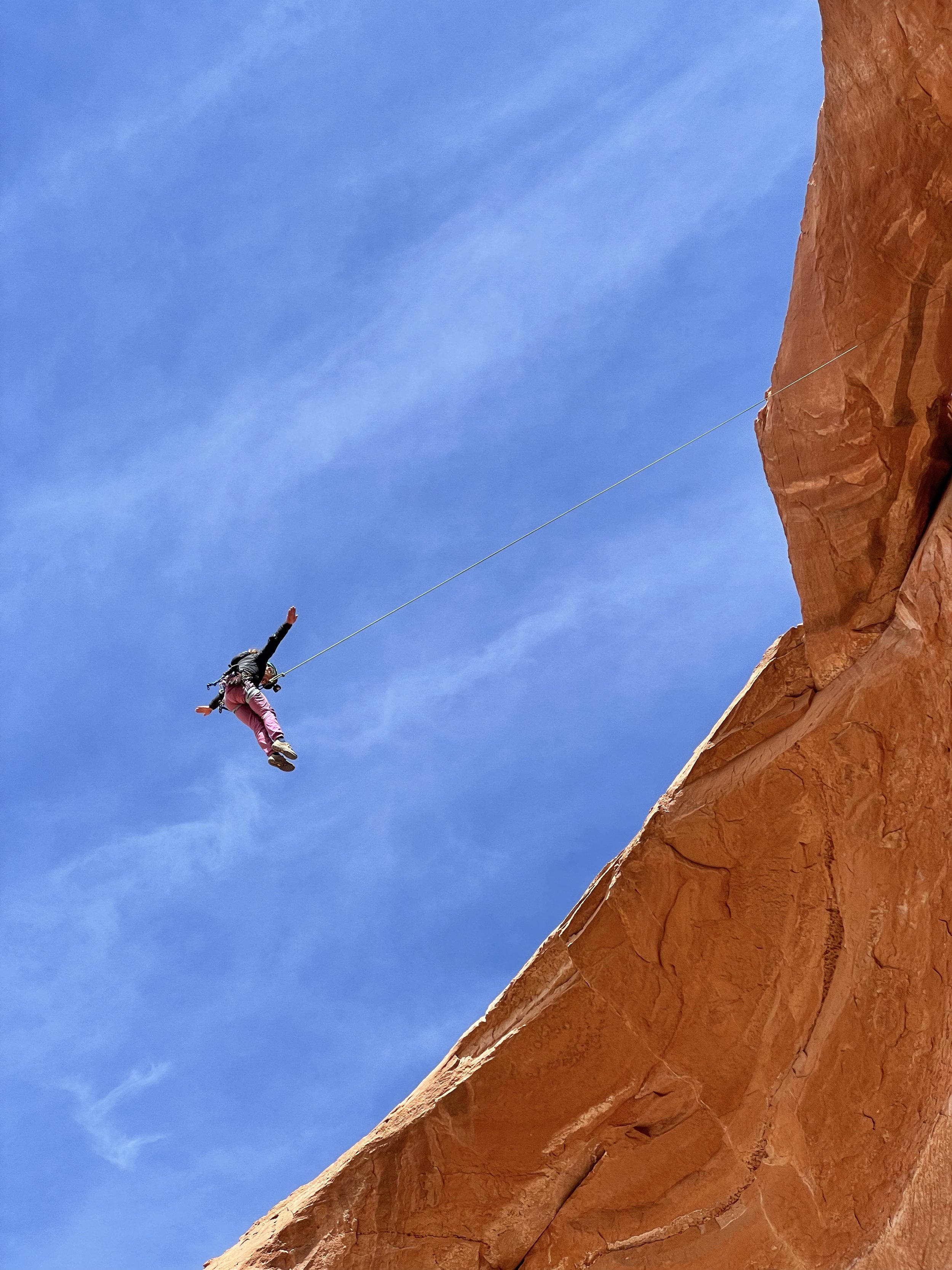
This is a great canyon to get ready for what lies ahead on your Moab canyoneering adventures.  There are two rappels on this canyon.  You will have to pay $10 park at the trailhead at Sand Flat Recreation Area.  For more beta on the shuttle and GPS route of the canyon check our roadtripryan.com. From here it’s a short hike down to the first rappel into the Medieval Chamber a 100’ drop into a beautiful slot.  After this just a hundred or so feet ahead is the last rappel 200 feet down and over Morning Glory Arch, Welcome to Utah!  When we were here (April 2022) there were two bolts with massive chains and we had enough rope to rappel down the center of the arch.  This made for a nice free hanging rappel down Morning Glory Arch and is a great way to start the canyoneering trip.

Moonflower Canyon

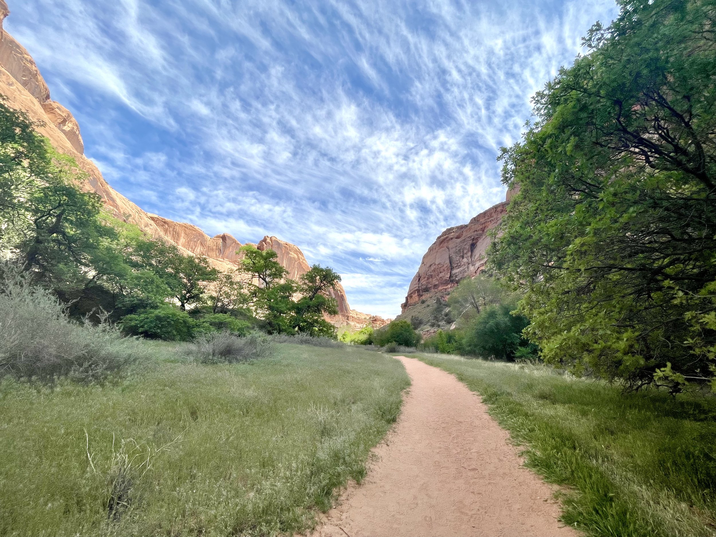
Moonflower canyon is not only a great adventure it is also an amazing place to park your van for the day and relax after a thrilling adventure down Moonflower Canyon.  Before or after you begin the adventure down Moonflower Canyon make sure to check out the Native American Pictographs to the right of the trail head.  Also there is a nice opportunity to free solo up a Native American ladder up to a stunning view of the Colorado River.  

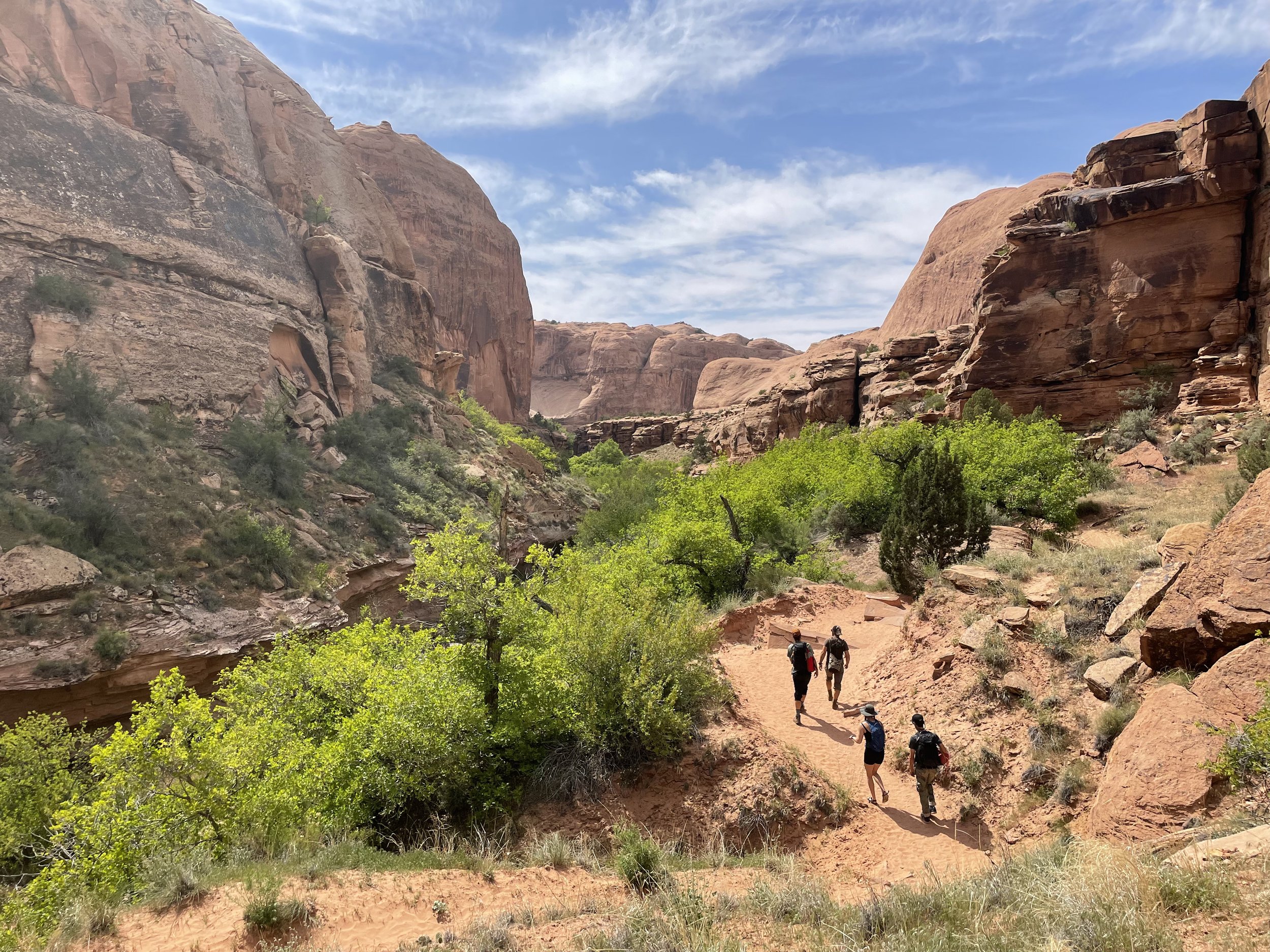
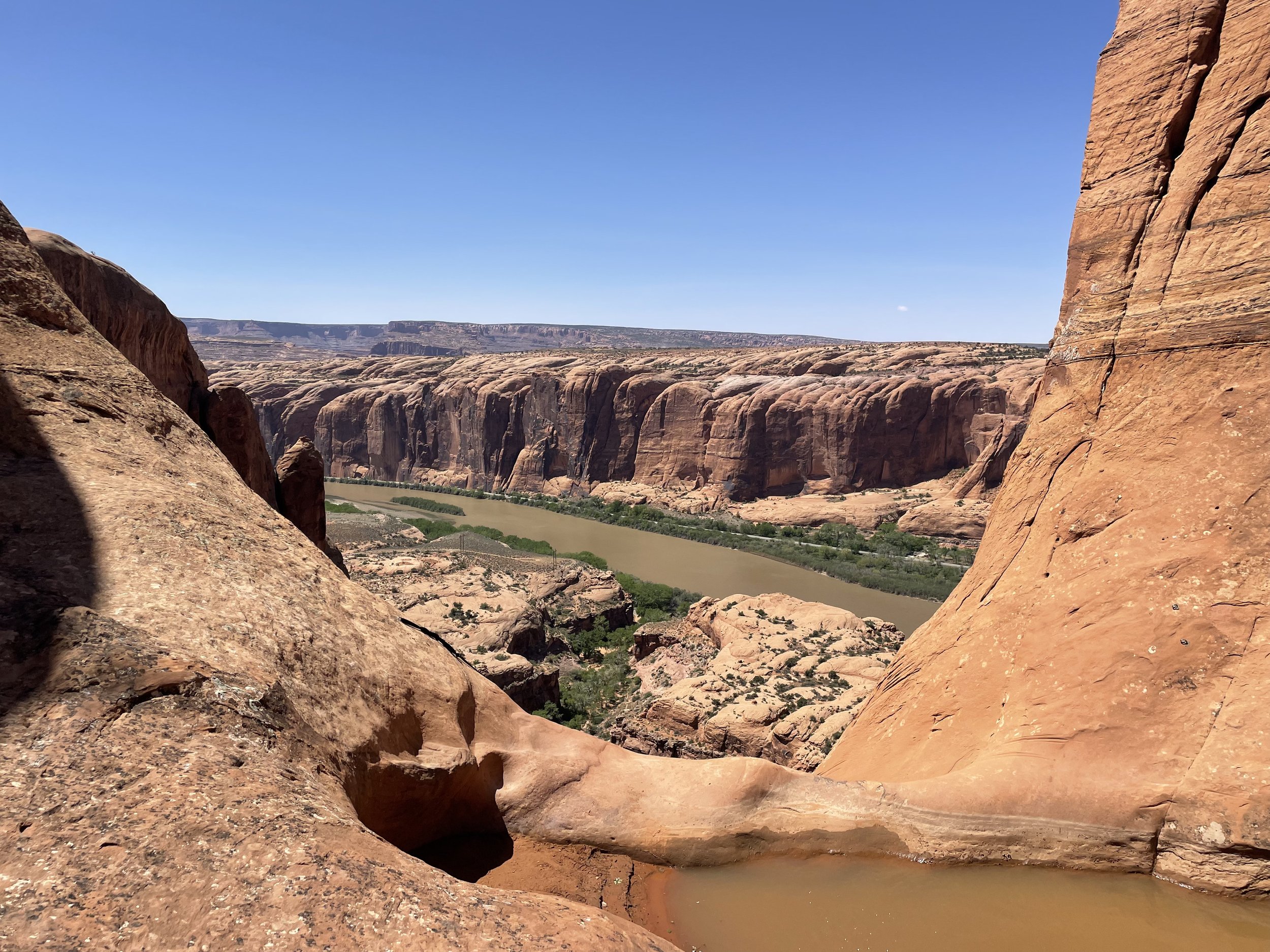
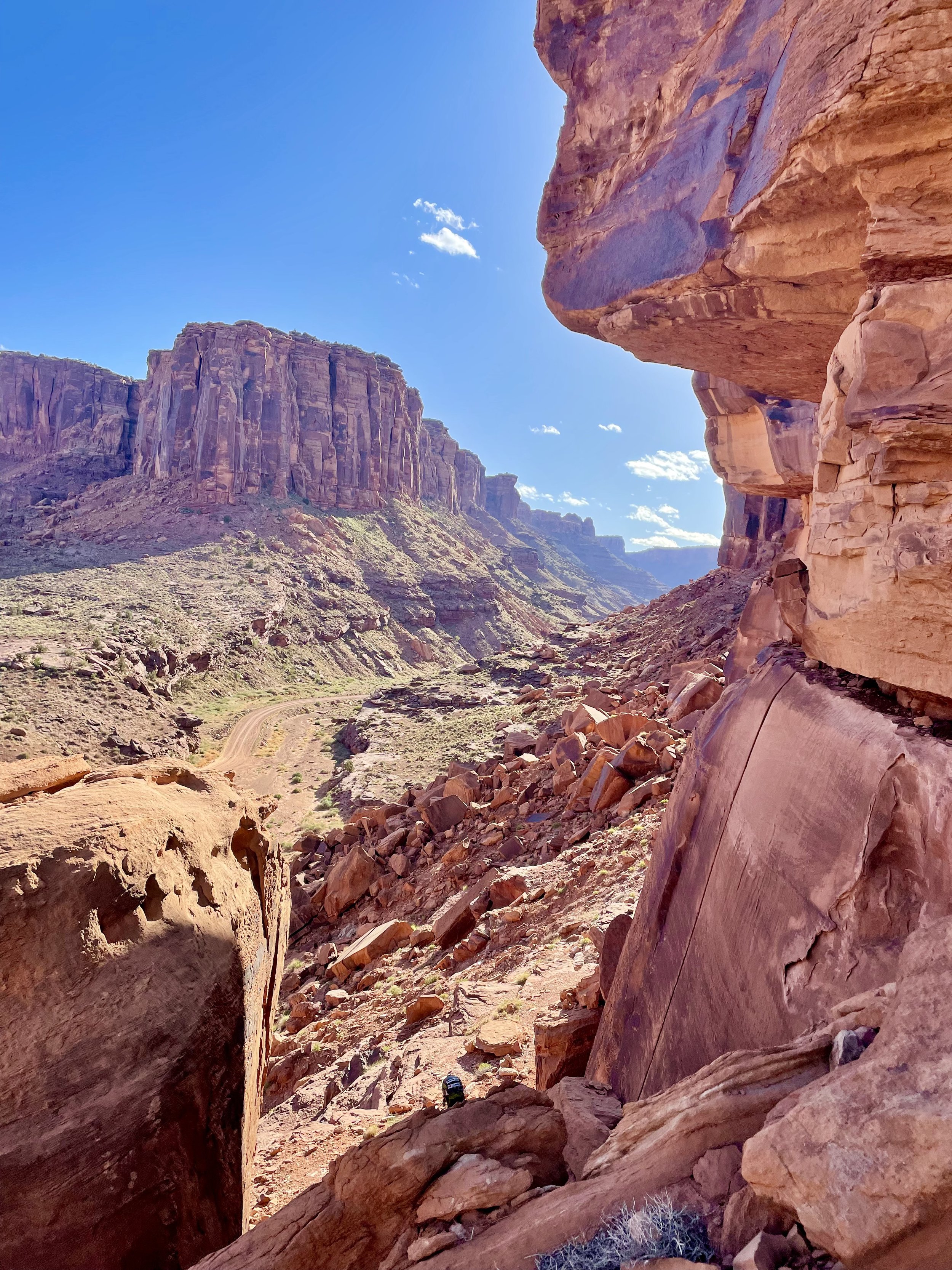
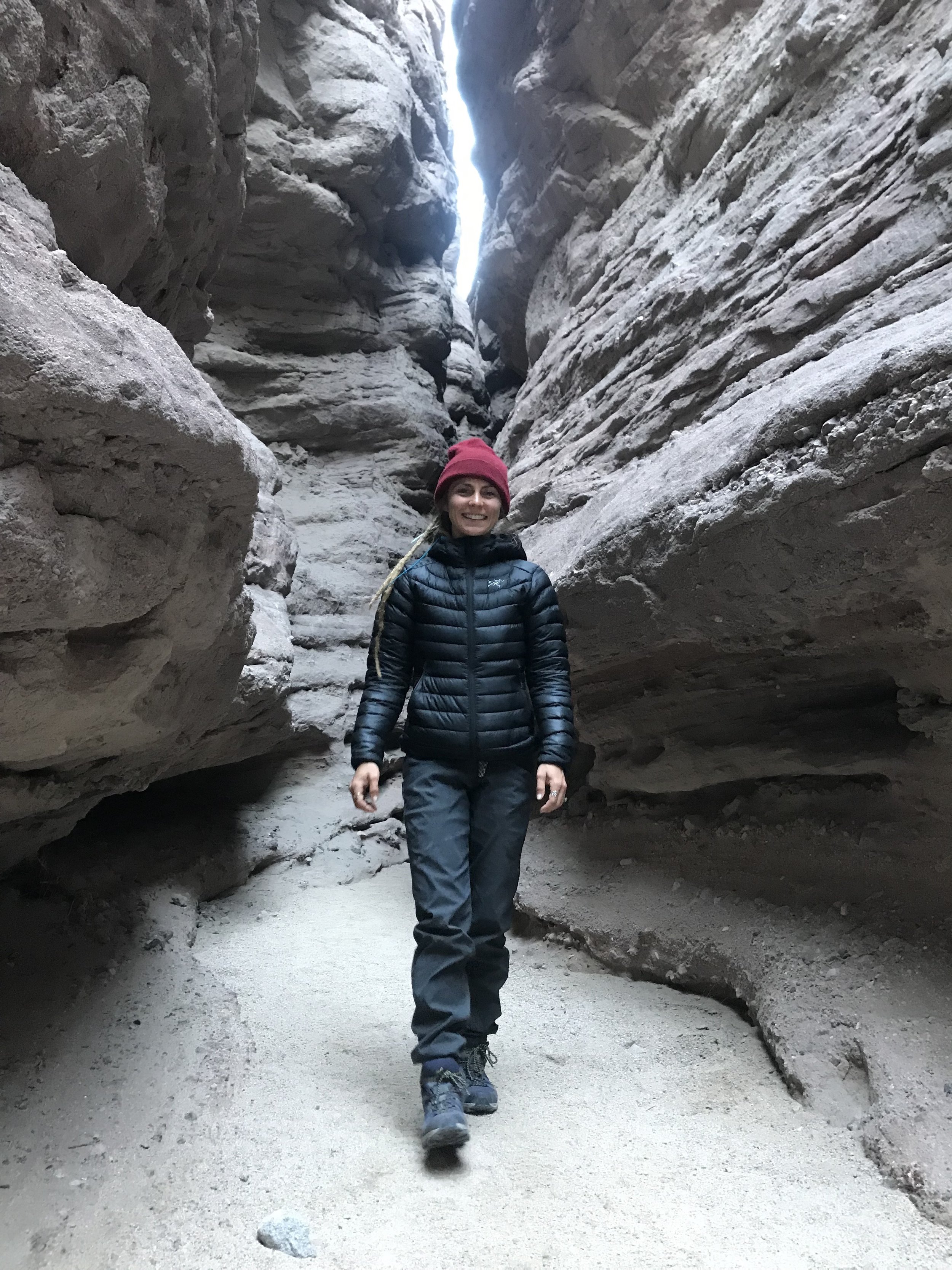
From the parking lot you’ll head east on Kane Springs Road to the Stairmaster Trail/4X4 Road.  For more beta on the trails here is the roadtripryan page.  This is a short canyon but it has a big approach with about 1,000 feet of elevation gain.  Once at the top you will very rapidly begin your decent down Moonflower Canyon to the first rappel.  There was a large pothole full of water but there is an easy escape along a hand line to get around it.  The first rappel down Moonflower is very intimidating luckily there are two solid anchors on either side for the first rappel instead fo what used to be a dead man anchor.  The first rappel is a gorgeous 200 foot free hanging drop down what seems like the edge of the earth.  After the first rap you will scramble down just a couple hundred feet to the next rappel which is just shy of 200ft.  This rappel will take some time finding the anchor but it is right down the center of the second rap.  This one is less intimidating and less free hanging but still gets the blood flowing.  After the last rappel it’s a short walk out of the canyon back to the van.  No shuttle needed.  

U-Turn Canyon

Located inside Arches National Park is a great quick morning warm-up canyon and a great way to start an adventurous day at Arches NP.  Before you head to the canyon make sure and fill out a free permit at the ranger station.  (it’s a booth in front of the first information center)

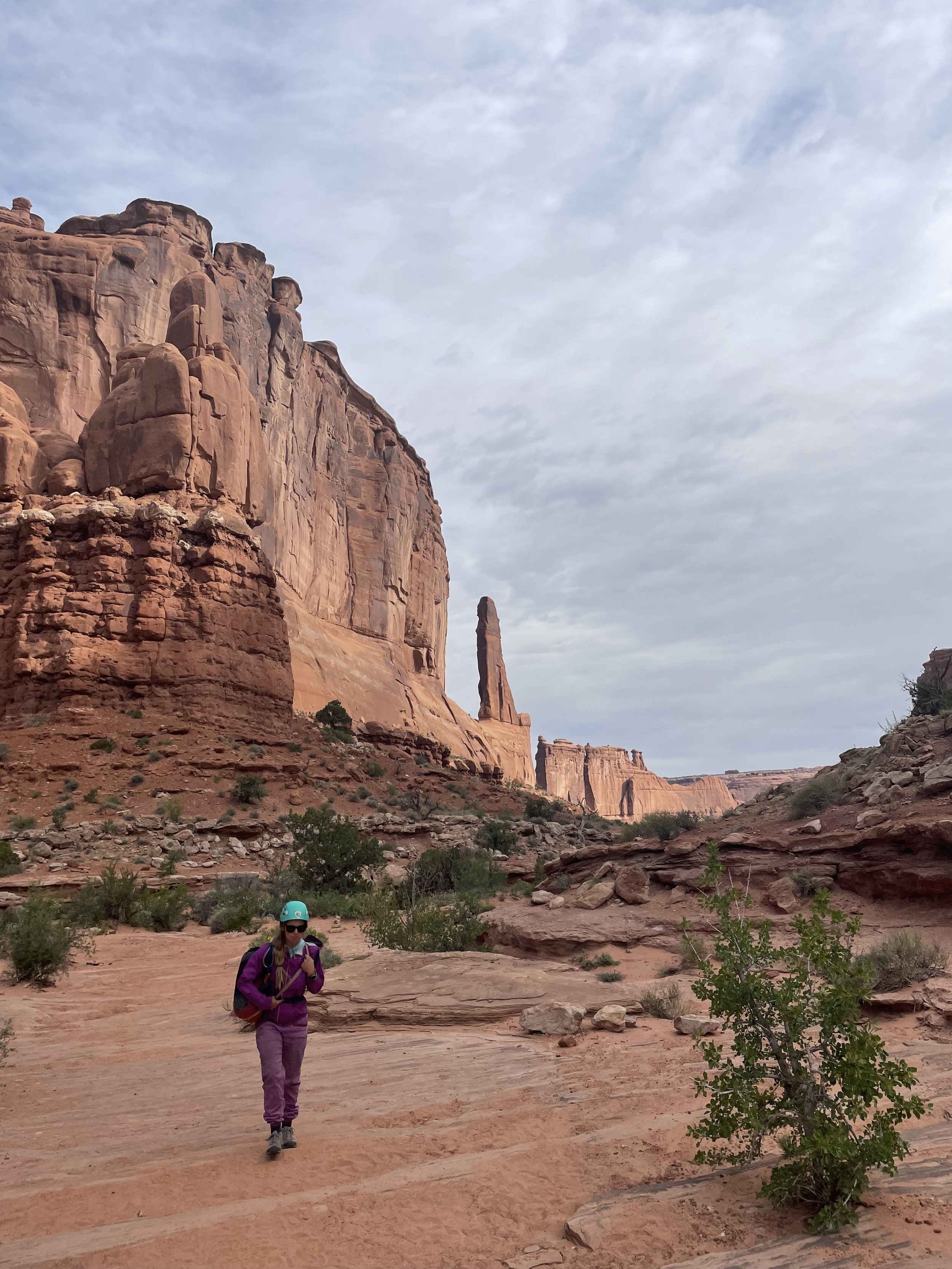
U-Turn is a great opportunity for a quick, easy, and stunning short out and back canyon.  This is a great place to take first-timers.  There are three rappels and the first two are on low angle slab so it allows the first time to get the feel for rappelling before the 120-foot free hanging rappel down into U-Turn Canyon.  

The highlight of this canyon is the last rappel into Wall Street in Arches NP.  Also this canyon is short only about 2 hours and can be combined with other canyons from the same parking lot.  

Lower Granary Canyon

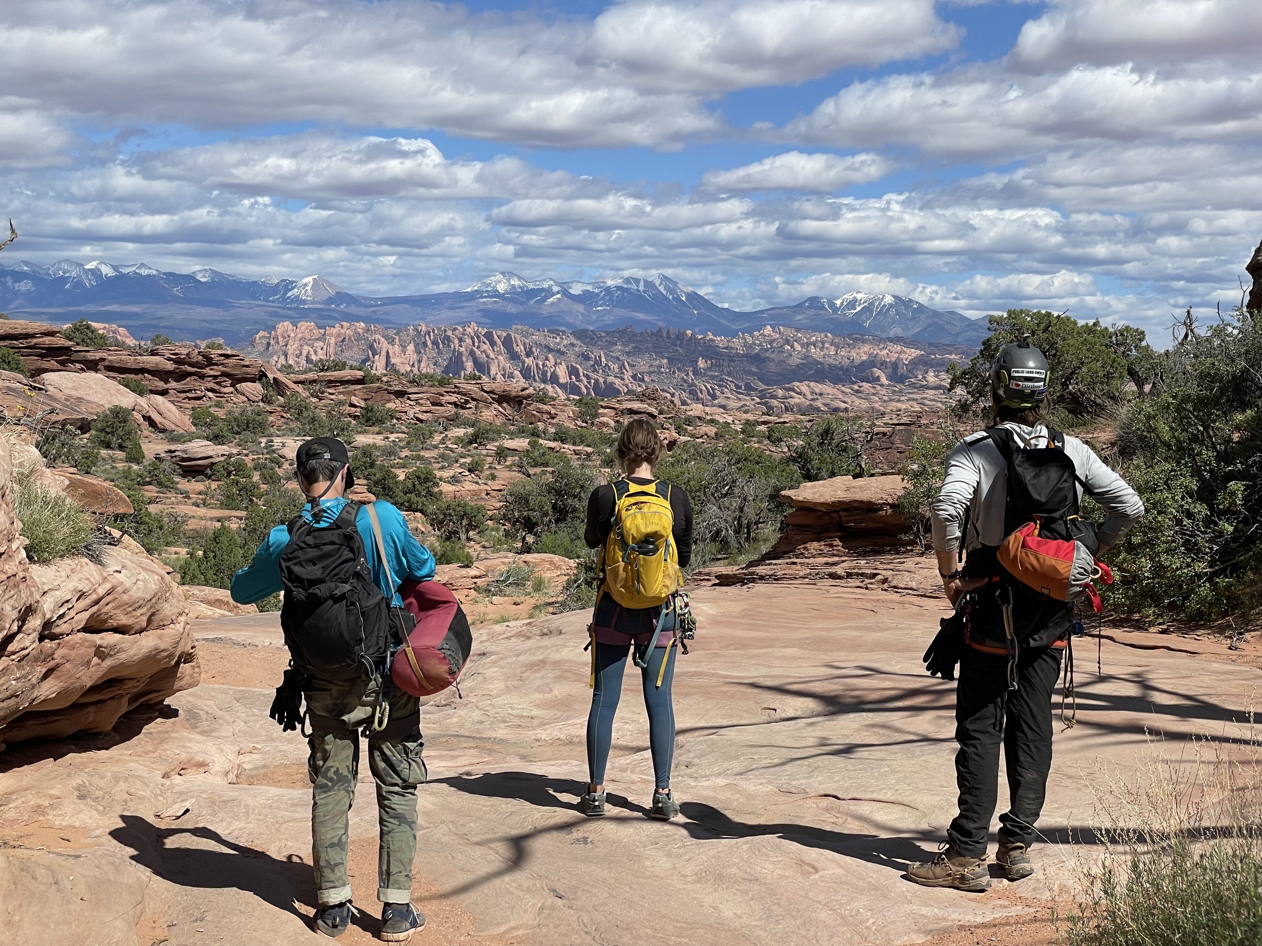
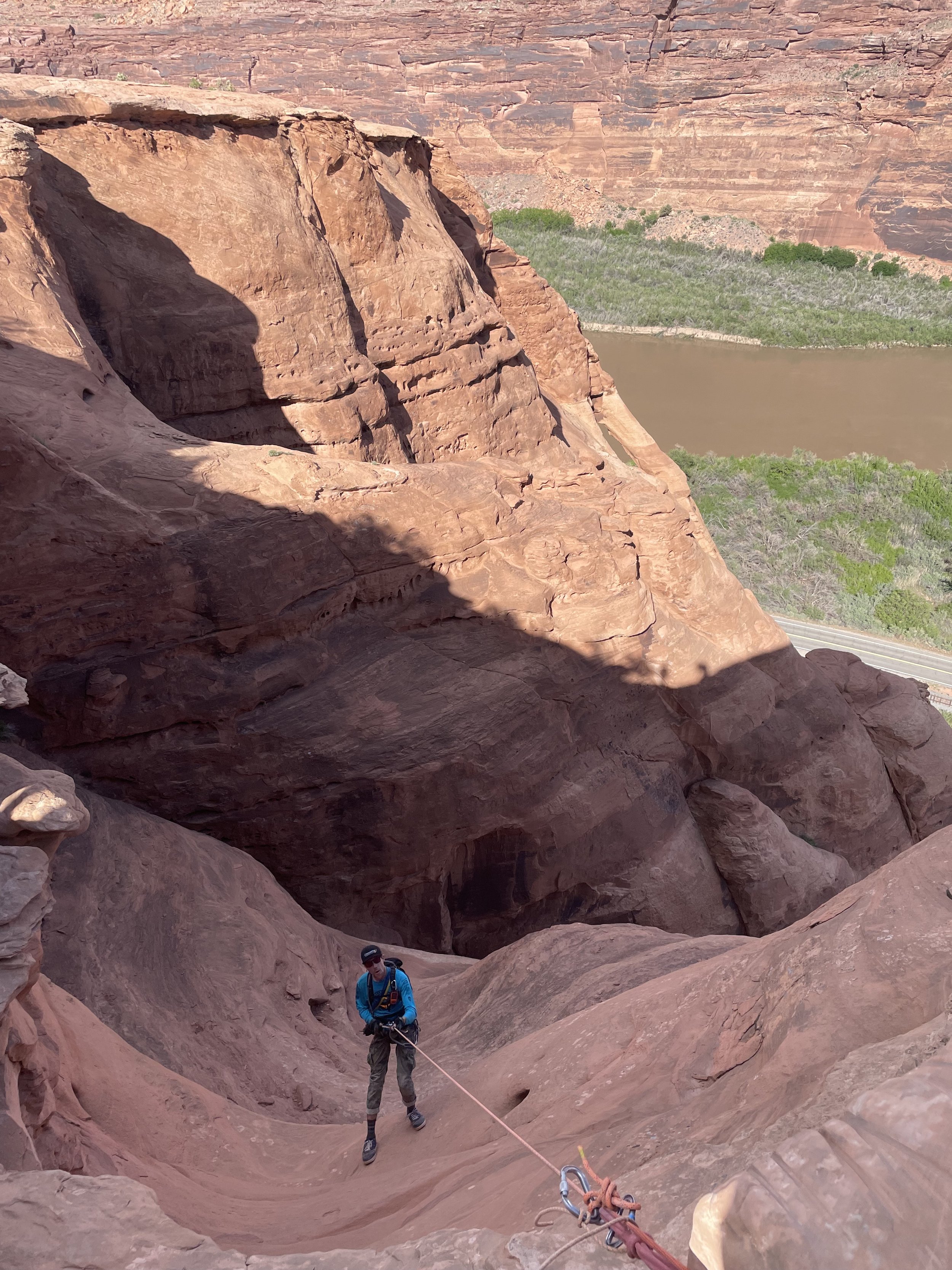
Be ready for an all-day event.  Plan for about 10 hours+ between shuttling the vehicles and doing the canyon.   You access the canyon up Long Canyon Road and it does require some ground clearance and has some spicy sections.  This canyon should not be missed by anyone on a Moab canyoneering trip.  Granary is a beautiful canyon way up on top of Long Canyon and provides panoramic views of the La Sal Mountains, Arches, and Moab.  

We only did Lower Granary Canyon and were fortunate enough to hitch a ride up to the refinery with an old rancher so it never hurts to stick your thumb out.  This canyon is a series of Rappels and route finding so make sure your devices are charged and there are backup maps I always rely on Ryans's Beta.  

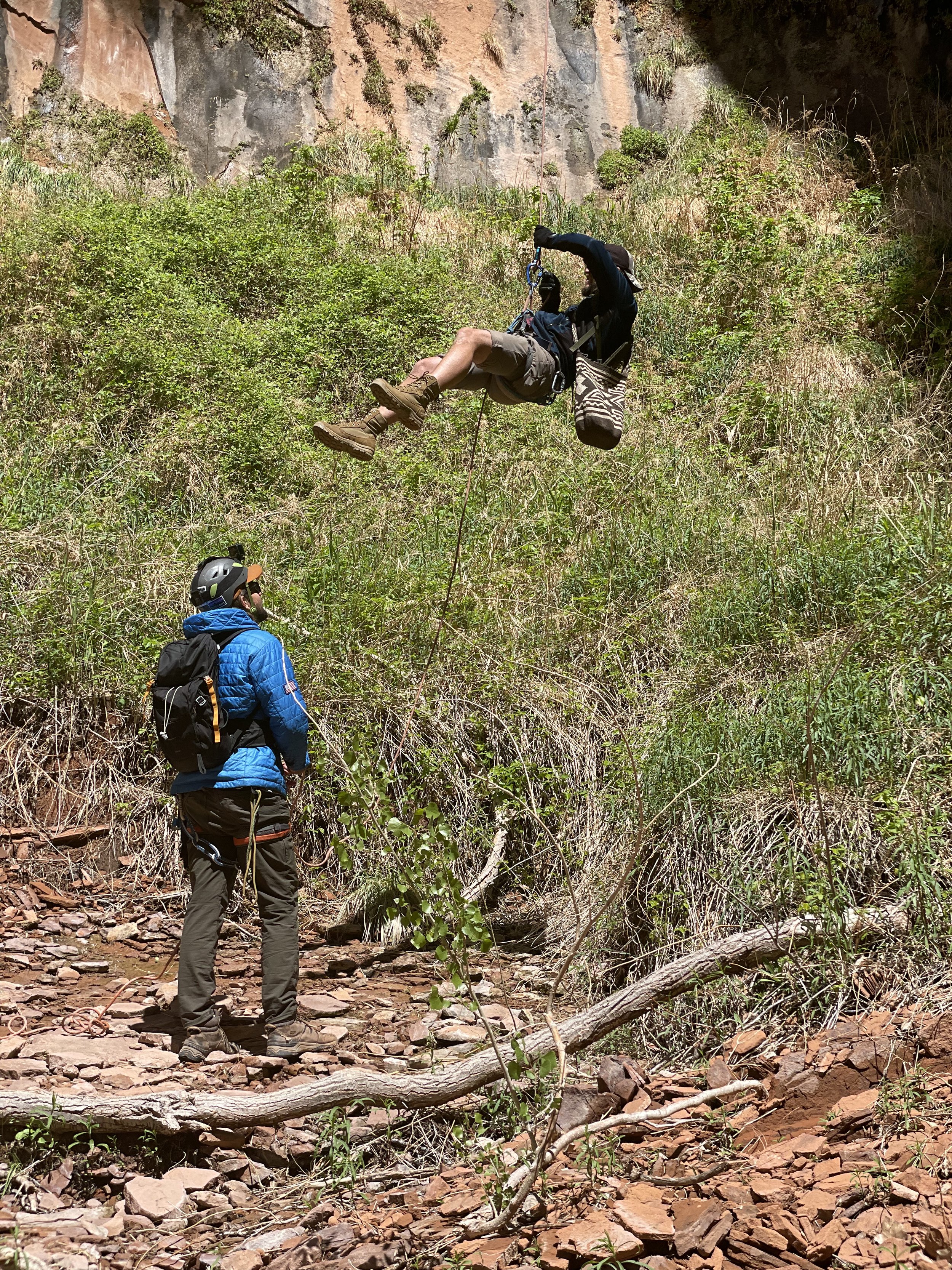
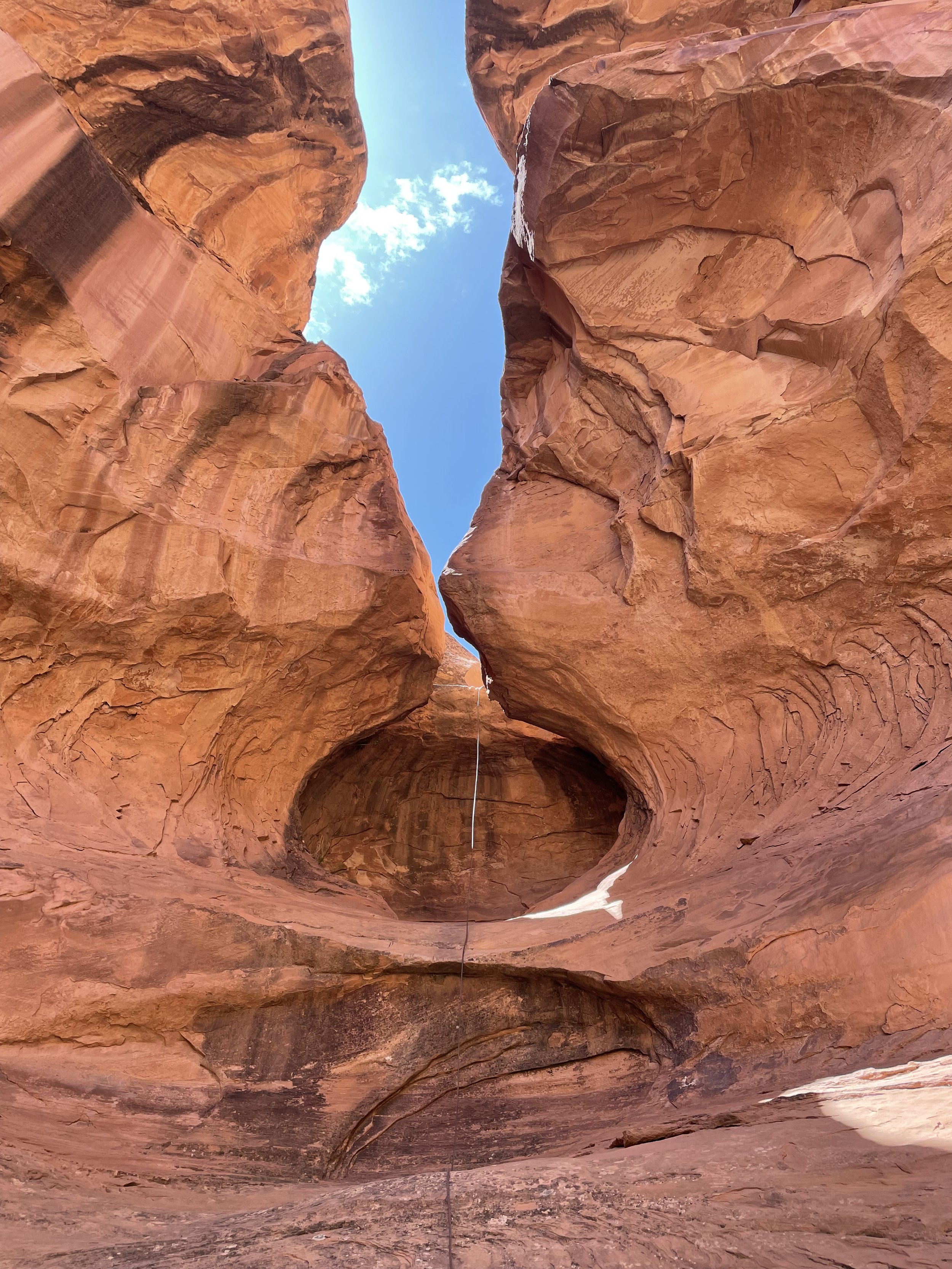
The highlights of the canyon are rappelling into a sandstone bowl rock formation (See Photos) and the last rappel 200’ near Jug Handel Arch right back to the vehicles.   

Looking Glass Rock

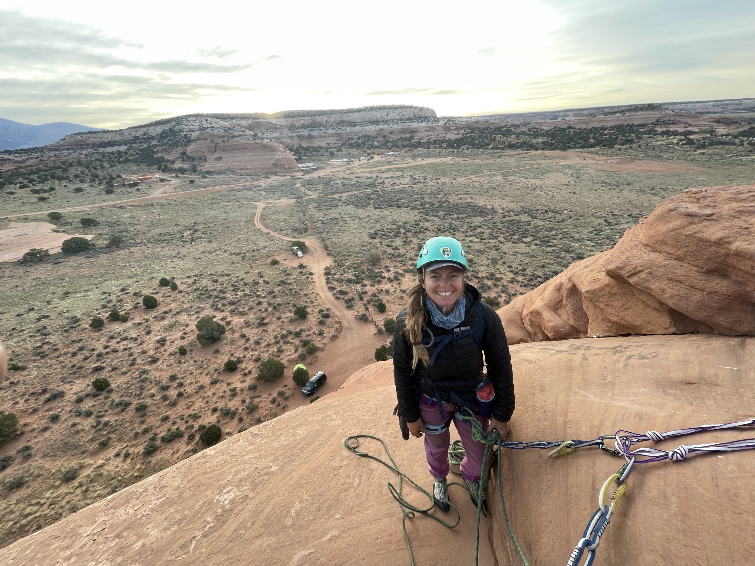
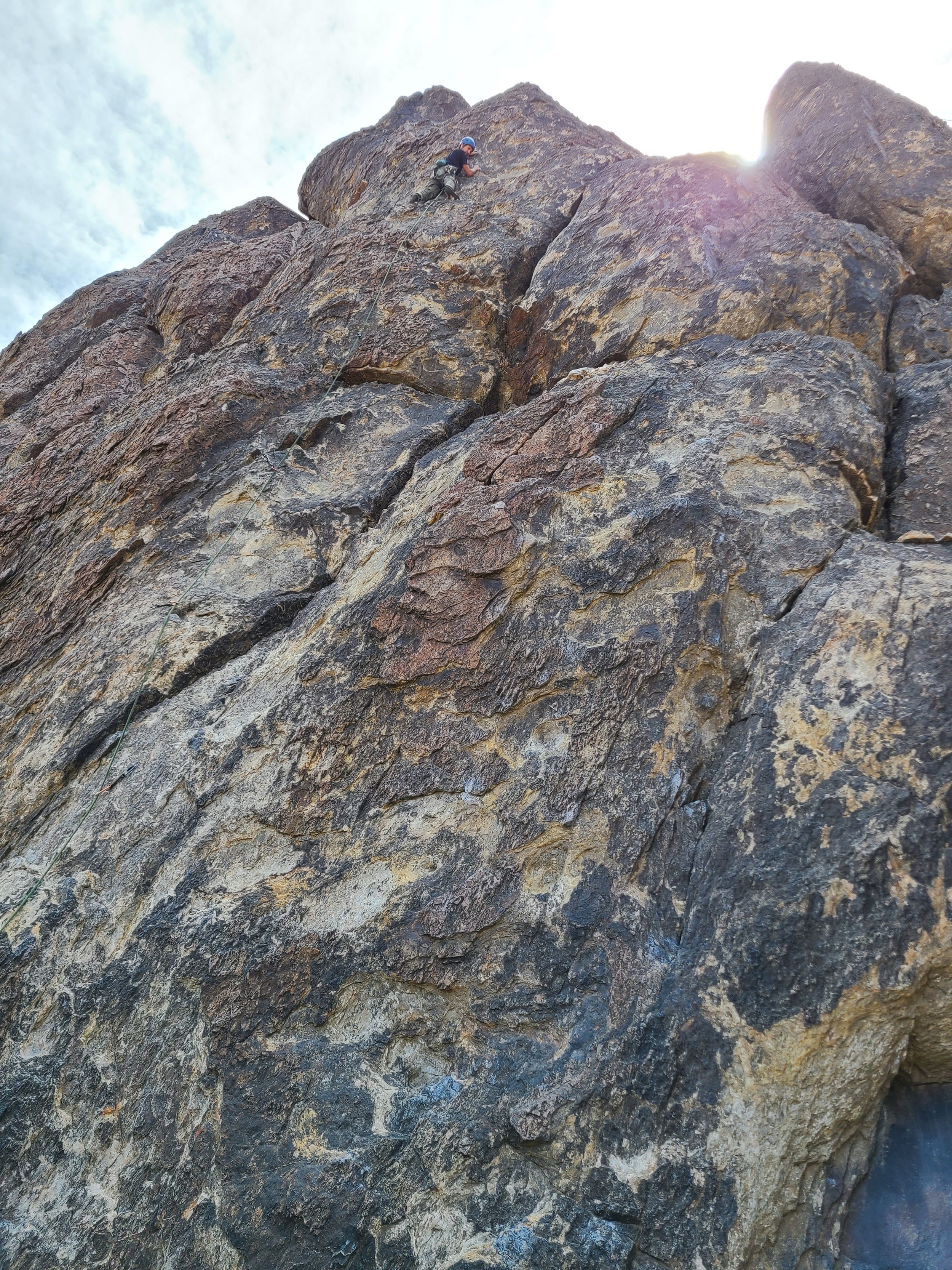
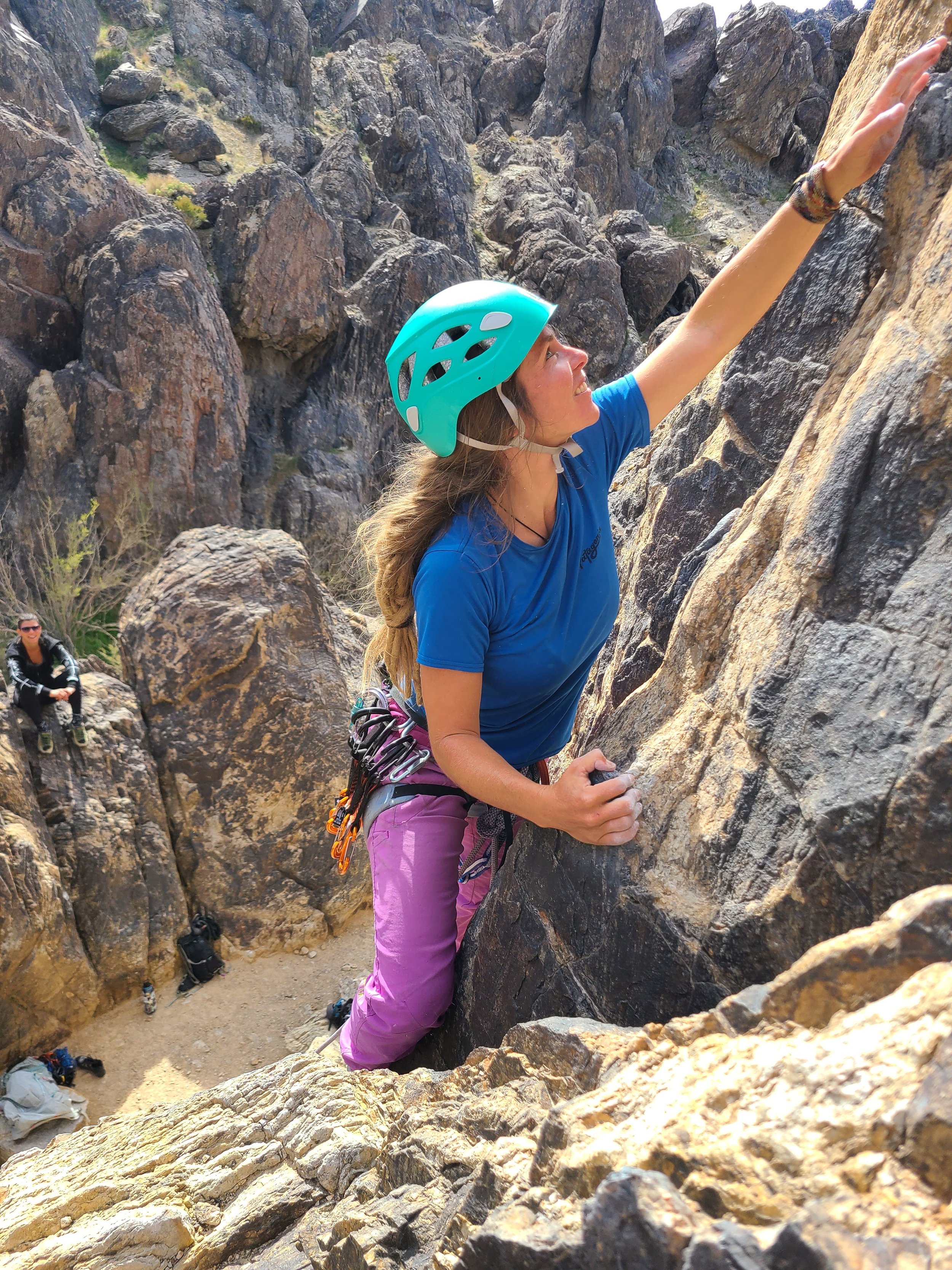
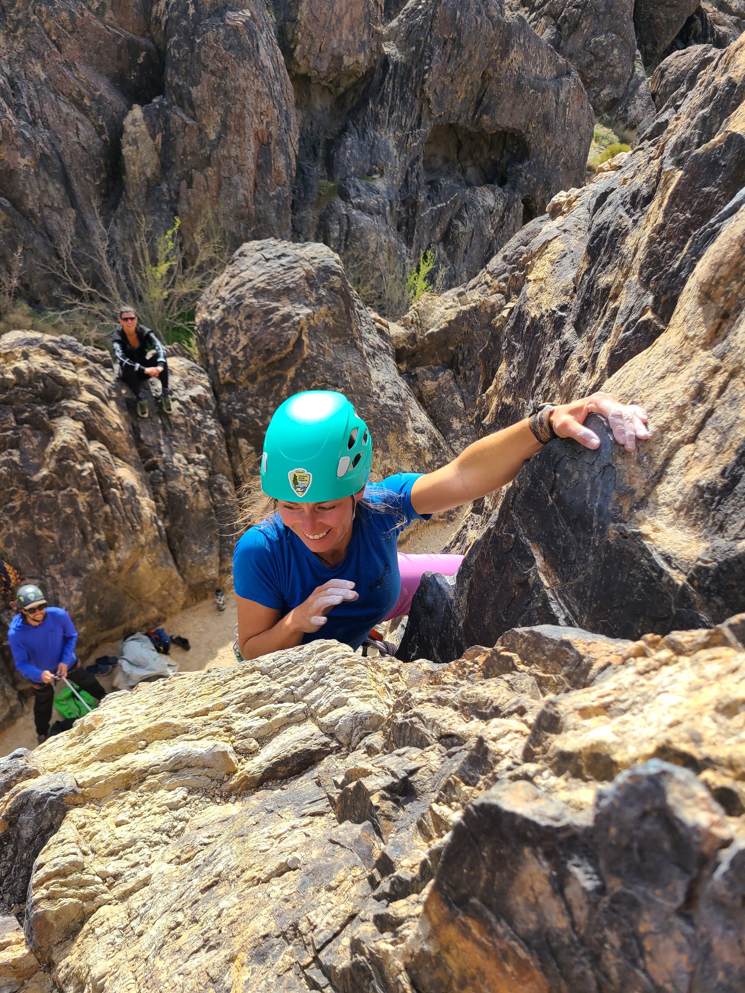
This is one of my all-time favorite adventures.  Looking Glass Rock is not a canyoneering adventure but a highly is recommended for the moderate leader when in Moab.  This is an easy 5.7, sport, 3 pitch climb up the rib of looking glass rock.  The only actual part of this climb that is a 5.7 would be the start.  Other than that and a few sections on pitch 2 I would say as a very moderate leader that it’s a 5.5 at best the rest of the climb.  The climb is well protected and it’s almost a craw/walk at the end.  

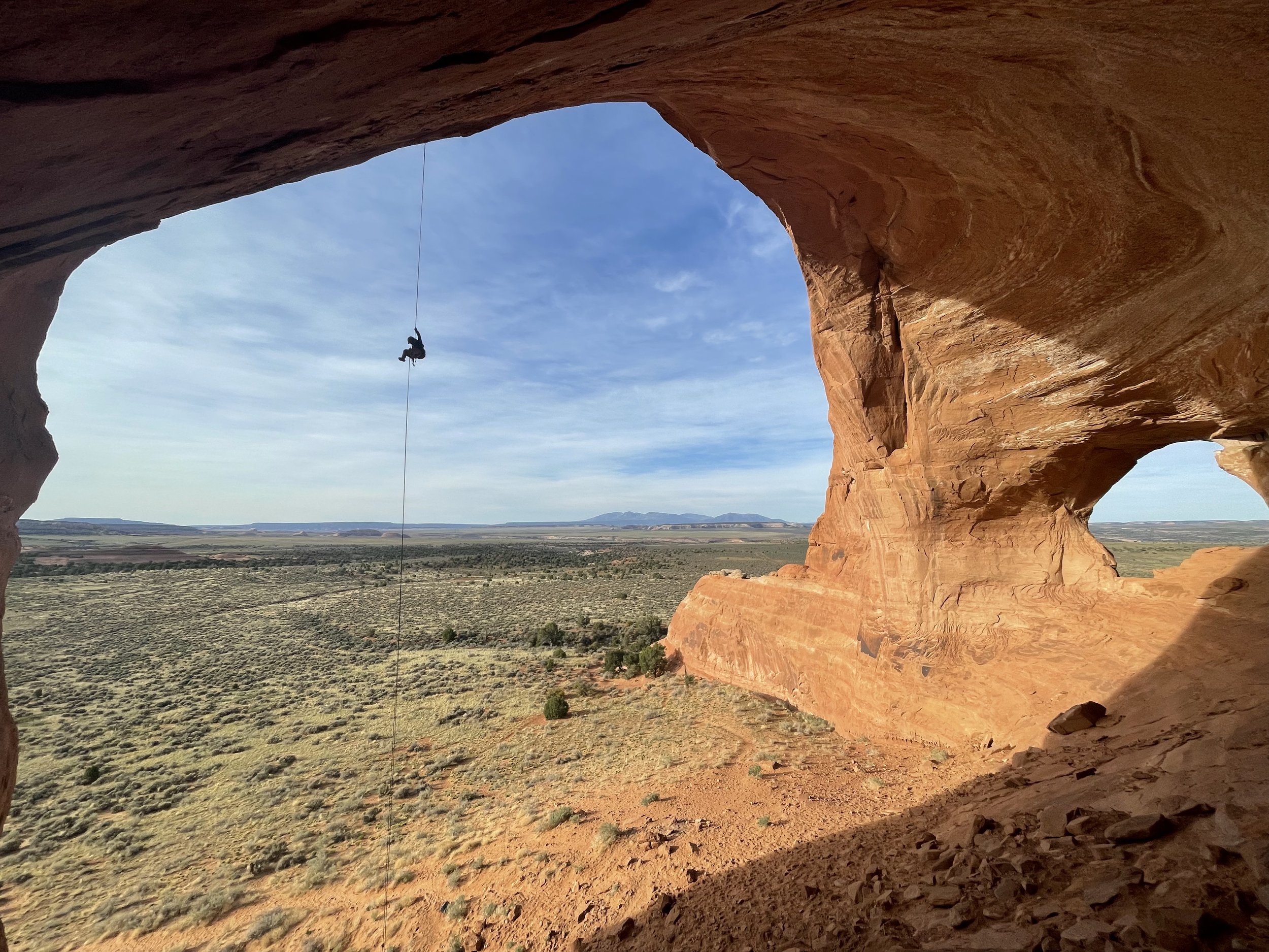
From the top you’ll locate the 165 Foot rappel.  There is a bolt set up to rappel down into the window which is highly recommended any mistake down climbing here could be fatal.  We set up a quick rap off the bolt and left our quick link there.  it’s about 7’ into the window.  

Now comes the best part one of the best free hanging rappels I’ve ever done.  This 165’ Rappel drops you out the window and into the looking glass dome it’s an amazing feeling to be dropping down into such amazing scenery.  

**Additional Rope Swing Highly Recommend!**  Once down on the ground do not untie and climb back up to the far lookers right of the dome.  You will see a bunch of bird shit on a ledge.  This is where you want to be right under the bird shit.  *It’s very important here to make sure to have your belayer take in all the slack and have you very tight on belay.  People have been seriously injured here with too much slack in the line and not anticipating rope stretch and have sustained pretty serious injuries.  Once you are tight on the belay jump off the ledge and enjoy the ride.  This was one of our all-time favorite Moab adventures.

New Jack City Rock Climbing : Best Crags for First Time Leaders

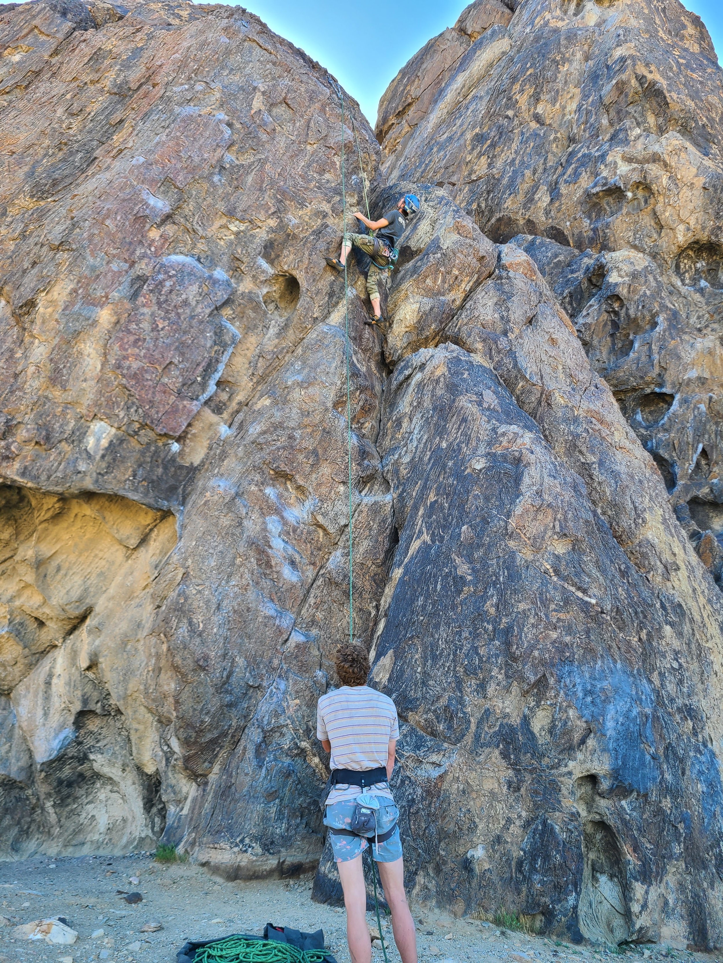
We love going to New Jack City I believe it’s one of the best climbing and camping scenarios I’ve ever experienced. With little or no approach and countless routes in the 5.7 - 5.10 range it’s a dream come true for the new lead climber ready to sharpen his skills on the sharp end.  The scenery and geology of Sawtooth Canyon is amazing and always make for a trippy time.  If you are new to the area and are ready to jump right in here are some of our recommended areas to check out if you plan on spending a few days.

While there are quite a bit of moderate climbs throughout the area these are a few of the crags with a larger concentration of Kook certified climbs for the new leader.  

The Valentine Wall

This wall is right at the entrance to the canyon and offers some nice campsites right at the crag.  While it’s not the tallest crag in the area there are a few good easy climbs to warm up on and get a feel for the rock on pretty easy short climbs.  With one 5.6 and three 5.7’s and two 5.8’s it’s great little crag to get familiar with the rock at New Jack City.   

Boy Scout Wall

This is a great beginner crag “hence the name” and receives morning shade and can be quite nice on those warm spring days.  This is one of the taller crags for beginners and has tons of moderate climbs that will get you stoked.  Some recommend routes are Sam I am (5.7) and  Jack Be Nimble (5.8).  A lot of these climbs are close together so you can build anchors and top rope a lot of routes next door this way you can access some harder climbs without having to lead them.  

Raven Rocks

There are some great climbs in the Raven Rocks area but they are a bit more difficultly.  A few of the classics are Cutom Tailored (5.7), Taylor Made (5.8), Rob’s Rambunctious Ride (5.9) and if you are ready to step up to the challenge Holey Moley (5.10a) most of the rest of the climbs here are in the 5.10a range and up.  

Cliffs of Insanity

This is the tallest crag at New Jack City and definitely worth the trek out to.  These climbs can be done either in a single pitch with a 70 meter rope or as a multi-pitch option from the belay ledge (Two Bolts Up).  This is an excellent crag for a first time multi-pitch sport leader and no better place to start that Uncle Funs Basement (5.7).  If you are doing these climbs in a single pitch you will want to bring some longer alpine draws to reduce rope drag on the lower bolts. 

The Crooked Dick Spire

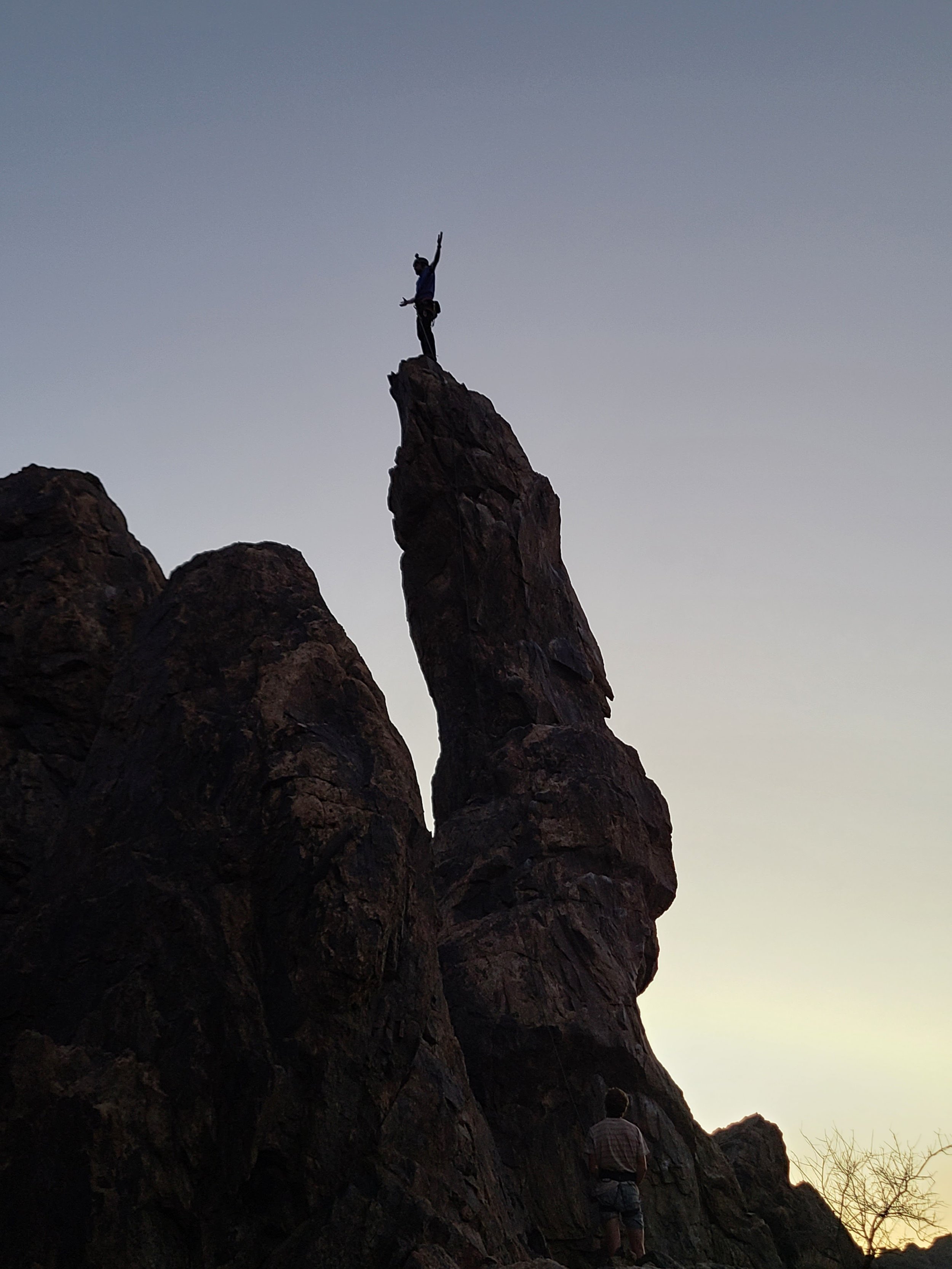
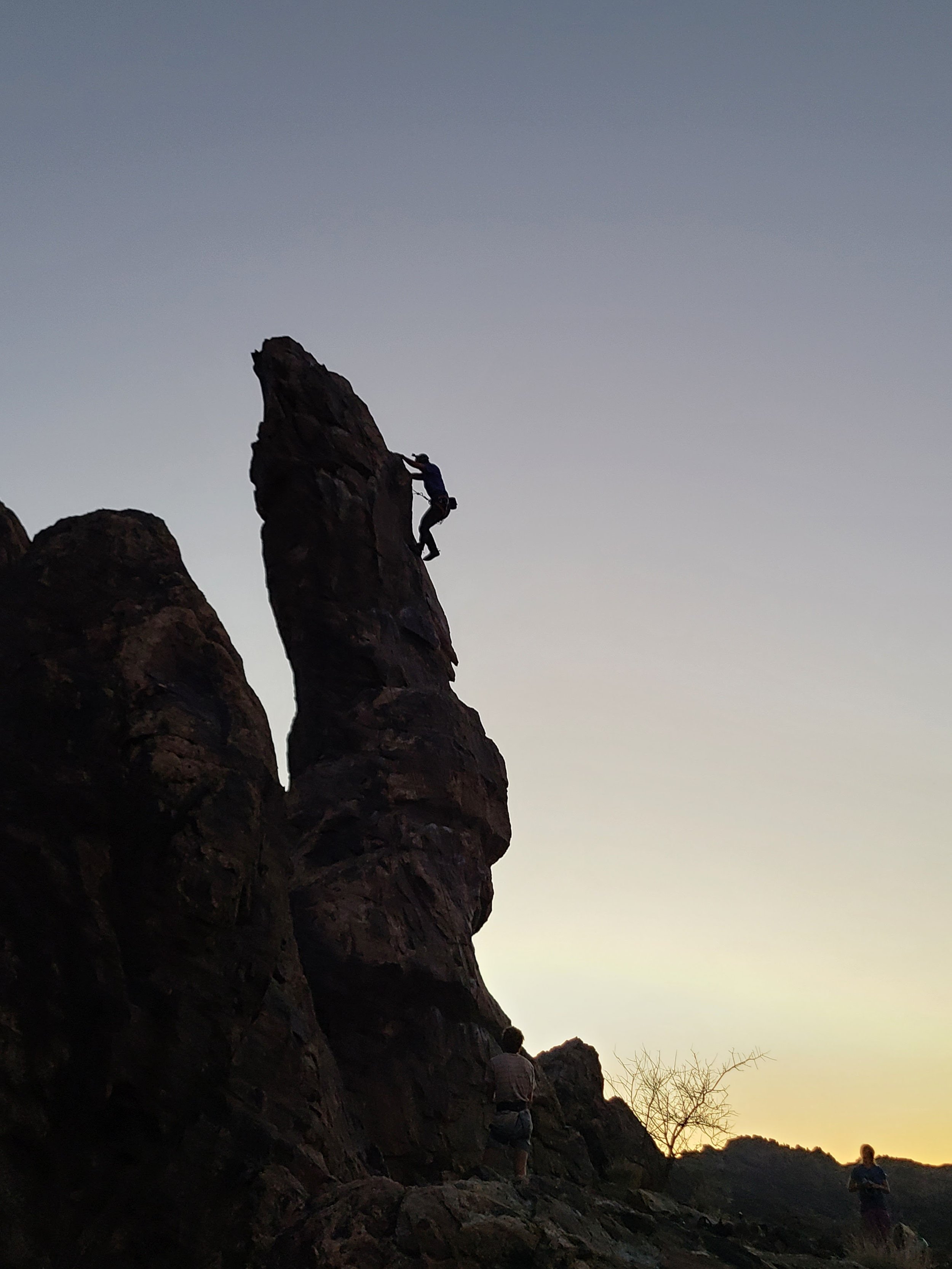
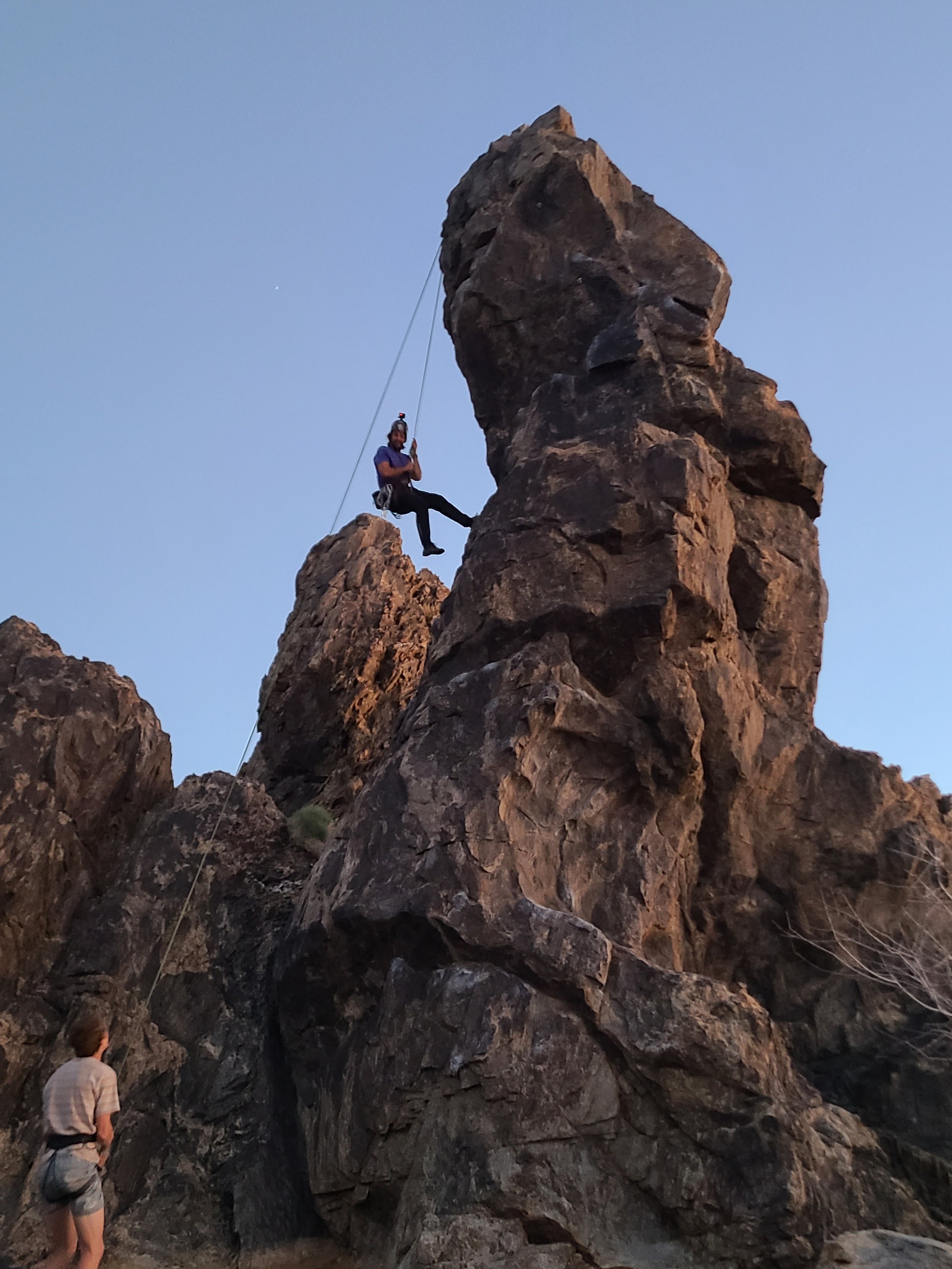
This is a must do route when in New Jack City.  Once you have really familiarized yourself with the rock and are feeling comfortable this is a climb you will not want to miss.  We do this climb every time we come to New Jack it’s a right of passage.  If you are setting this route up as a top rope make sure to leave the last draw in as a directional because it gets interesting at the top with a high likelihood of swinging.  Make sure to stand on the top of the spire and take in the feeling of being on top of a spire!  

I hope this helps you on your upcoming adventure out to New Jack City  

additional photos provided by @vanningaintnojoke www.vanningaintnojoke.com

Red Rocks Climbing - 3,000 Routes, No Camping Sites

Just right outside of Vegas is some of the best sandstone sport climbing in the US.  Red Rocks is an amazing sport climbing playground with over 3,000 sport routes.  The only issue here is camping and the lack there of.  Every time we come to Red Rocks there’s a new place for all the dirtbags to camp on one side or the other of HWY 159. 

There is one established campground outside of Red Rocks but it only has 53 sites and with the amount of visitors that now come to Red Rocks the campsites just isn't enough. 

There are more options for dispersed camping out on Lovell Canyon Road which is about an hour drive to Red Rocks.  Also keep in mind that when leaving Red Rocks you will have to do the windy but incredibly scenic 12 mile (30 Minute) loop back to HWY 159. Now your commute back to your campsite is now 45 minutes.  

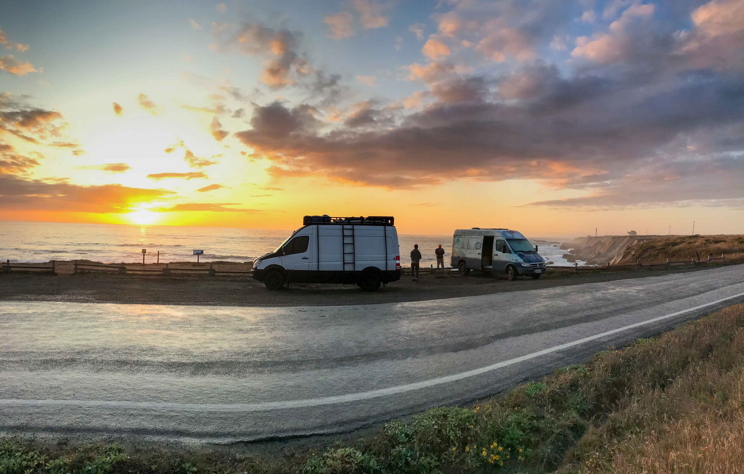
When we first went to Red Rocks we were pretty surprised at how much driving we would have to do to and from where we were sleeping.  We found that sleeping on the side of the road next to the sign was our best option to avoid the long climbing commute.  Also it is very hard to find a safe spot in Vegas that doesn't have security.  Most of the neighborhoods on the way up to Red Rocks are gated with security which makes stealth camping on the streets near impossible we were kicked out of two spots.  

Van Life Camping in Las Vegas

An alternative although it requires more driving is to park at the Link Paid parking area behind the ferris wheel

With all this being said this is such an amazing place to climb that it is worth all the hassle and just enjoy your time and take in the spectacular rock formations and scenery.  I put together a few great areas for the moderate climbers to check out to make the most of their day at Red Rocks before having to commute back to the campsite.  

All of these crags are on the first pull out.  

Panty Wall

You will get nice morning sun here and this is a great crag to get started on and feel the sandstone and get warmed up for an amazing day.  There’s a lot of moderate climbs the new leader can show up to and crush that are about 60’ tall and have a nice view from the top.  A few fun routes are Brief Encounter (5.8), Sacred Undergarment Squeeze Job (5.8), and Office Party (5.9).  There are also some great 5.7’s to warm up on or lead for your first time at the Panty Wall.  

The Hamlet Wall

After you’ve crushed a few climbs at Panty Wall Head over the The Hamlet Wall.  This is the moderate lead sport climbers heaven with plenty of well protected bolted climbs ranging from 5.4 to 5.10a.  This is just like climbing in the gym the holds are amazing and the routes are very well protected allowing you to really progress and start to feel the groove here at Red Rocks. You can also still potentially catch some shade here in the morning but this will be in the sun for the most of the day so it’s best to get after it earlier if you are here and it’s hot out.  

Civilization Crag

Once you are feeling pretty solid about your climbing and are ready to head to a crag with a little bit more challenging moderate climbs this is a great crag to head to.  You will want to use some beta for the approach as you can easily get off track on the many spur trails at Red Rocks.  There are 17 sport routes over here and a large majority of them are under 5.9.  This is a great place to come and dance around the crag to find the shady climbs.  This is a fun crag and great to transition to after a good morning at Panty and The Hamlet Wall. 

Big Bad Wolf S (5.9) 3 Pitches

After a solid day of crushing single pitch sport routes at Red Rocks today’s adventure is located in Calico Basin which is just east of the Red Rocks entrance.  This is a great opportunity for a moderate (5.9) three pitch sport route up 220 feet. The first pitch is the most challenging pitch (5.9) after this you will be on two pitches 80’, 70’ of sustained 5.8 slab.  There is the option to do it in four pitches but a 60 meter rope will get you to the anchors and you can skip the last pitch.  The last pitch consist of 5th class scramble moves but it would be wise to stay roped in and use the bolts to get tot the anchor.  This is definitely worth doing and will get afternoon shade so you could even squeeze it in after a morning of climbing in Red Rocks.  

We hope this helps you on your next adventure to Red Rocks, Happy Climbing!  

JEM Trail - Excellent Camping and Mountain Bike Trails

Outside of Hurricane Utah lies some of the most extreme mountain biking trails in the United States.  Fortunately for us Kookz there are also some incredible moderate mesa flow trails out here in the Utah desert right outside of our front door.  

Camping and Trails 

There are two ways to access these trails and the camping one is the easy way from HWY 9 and head south on Sheep Bridge Road to get to the BLM Campsites Head East off HWY 59 to Sheep Bridge Road.  You’ll want to head down the road and camp North of here at the BLM Dispersed Camping Area.  This is a great place to camp because you can access the JEM trail from the bottom so you can ride it up and come down on the trail.  

From your campsite there are many option to get up to the top of JEM trail our favorite was to head up JEM Trail to Dead Ringer and the back down JEM Trail.  Don’t forget to go all the way to the end of JEM Trail past where you camped for an epic ride along the Virgin River Rim.  

From here your only 30 minutes from Zion.  For some fun adventure ideas in Zion check out these hikes.  

Like any other dispersed camping area this is has a 14 night limit and has no services and a drop toilet at Sheep Bridge Trail Head.  

Van Life Las Vegas - Meow Wolf and Where to Park to Sleep?

Have you ever been to Las Vegas in your van?  The idea alone can be a logistical nightmare full of paranoia and worry about where you left your van and who is breaking into it.  Well, thanks to the Kookz you can party at ease knowing that your van is parked safely and you can completely avoid the Las Vegas strip and have the time of your life.  

Step #1 - Park at LINK Paid Parking this is a great secure parking area on the strip of Las Vegas.  It’s $20 for 24 Hours right under the “Las Vegas Highroller”.  This was a surprisingly quiet place to sleep. 

Step #2 - Get an Uber to Area 15 and go to the Meow Wolf exhibit Super Omega Mart.  This place absolutely blew our minds.  This is an immersive experience that is beyond art.  This is one of the most amazing places I have ever been since Burning Man.  This place blew our minds so much that we had to come back twice to fully experience this place for what it really is.  I recommend at least 4 hours to really enjoy this place and definitely come prepared with some visual enhancements.  

Step #3 - Uber back to Link Parking Area - After checking out what Area15 has to offer now head back to the vans.  

Step #4 - Sleep or go out and hit the strip for more Vegas shenanigans.   

5 Activities to do in the Jemez National Recreation Area

Just an hour and a half Northwest of Albuquerque is the Jemez National Recreation Area.  If you are traveling through New Mexico and looking to get off the beaten path and experience a truly magical place the Jemez is not to be missed.  There are really endless opportunities here for outdoor enthusiasts.  

Hot Springs

There are 6 Hot Springs in total in the Jemez Mountains.  I’m only going to share my personal favorite although all of them are worth visiting.  

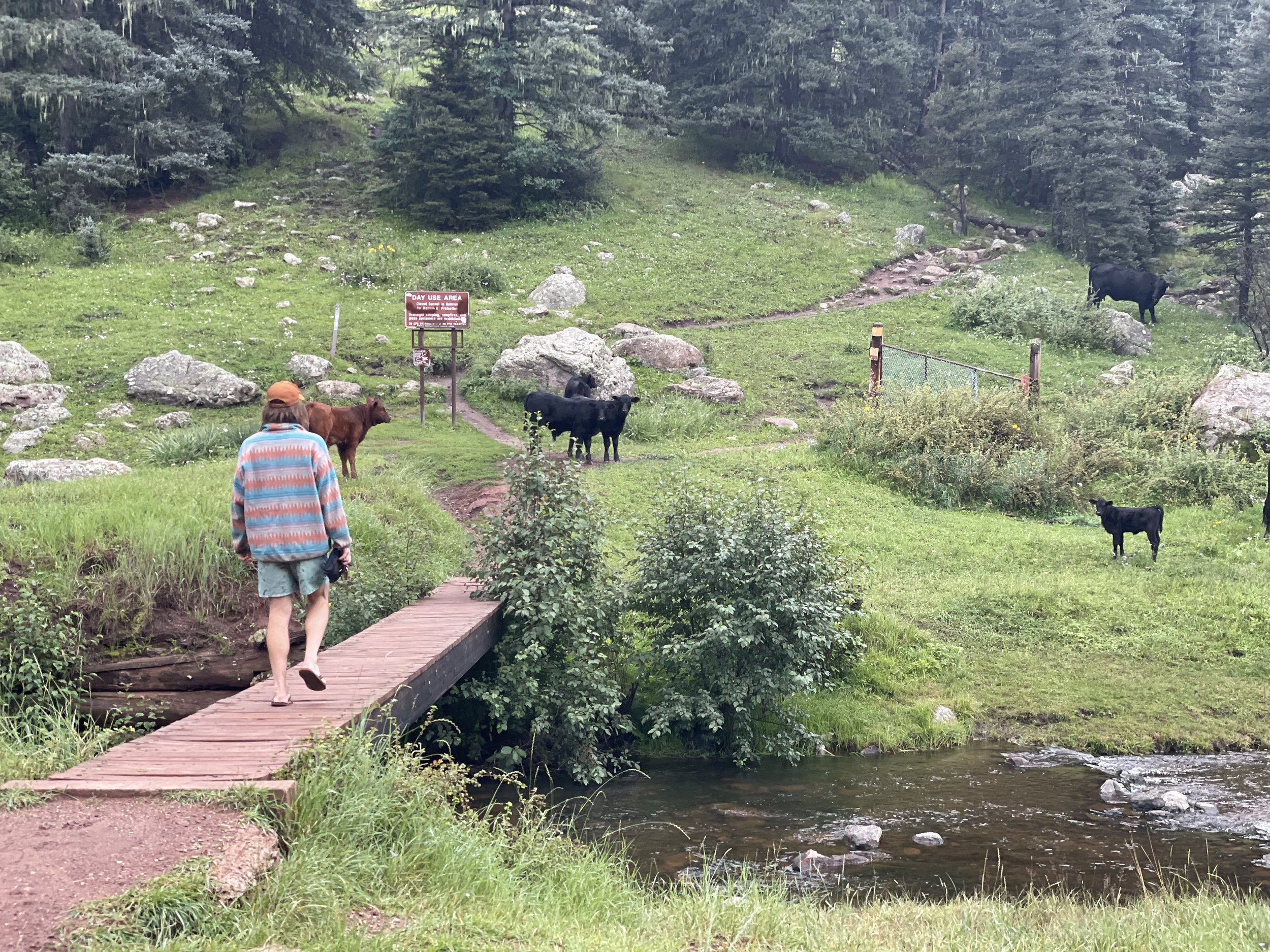
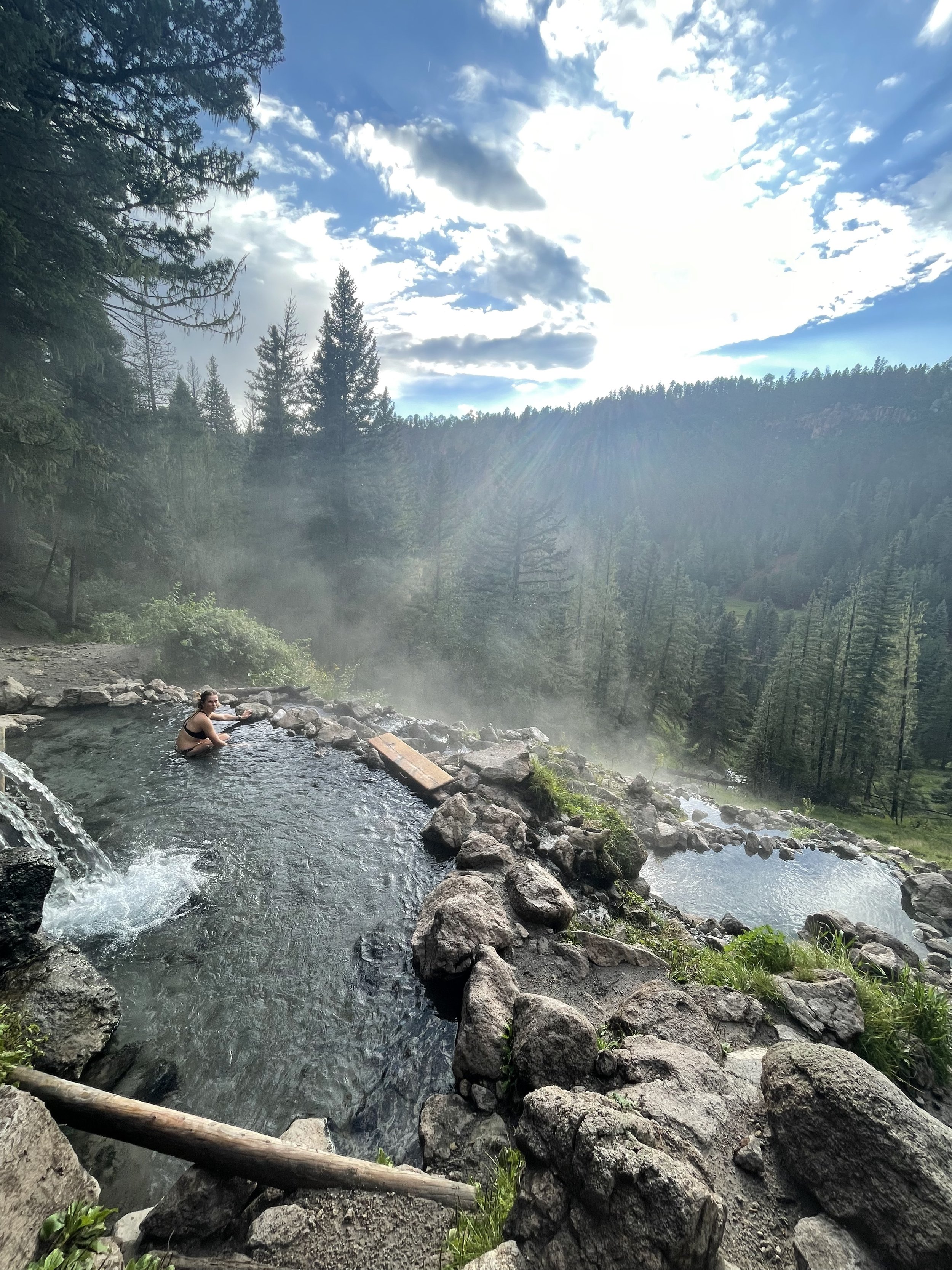
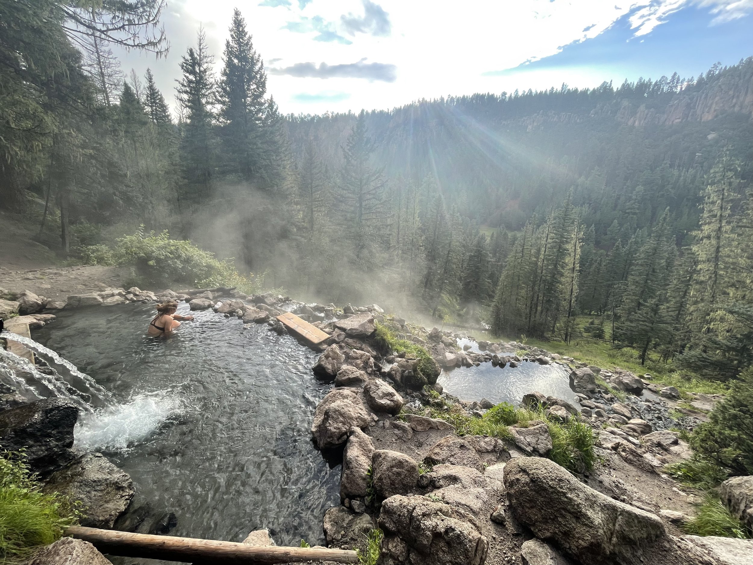
San Antonio Hot Springs - This is one of my all-time favorite hot natural hot springs.  When FR 376 road is open you can drive up to a parking lot about a mile away from the springs.  If the road is close then it’s about a 6-mile hike into the springs.   The springs are a series of rock pools built along San Diego Canyon.  The hottest pool is around 104 degrees at the source and as the water cascades down into the other pools it becomes gradually colder so on warm summer days you can always find a temperature that’s perfect.  

Climbing

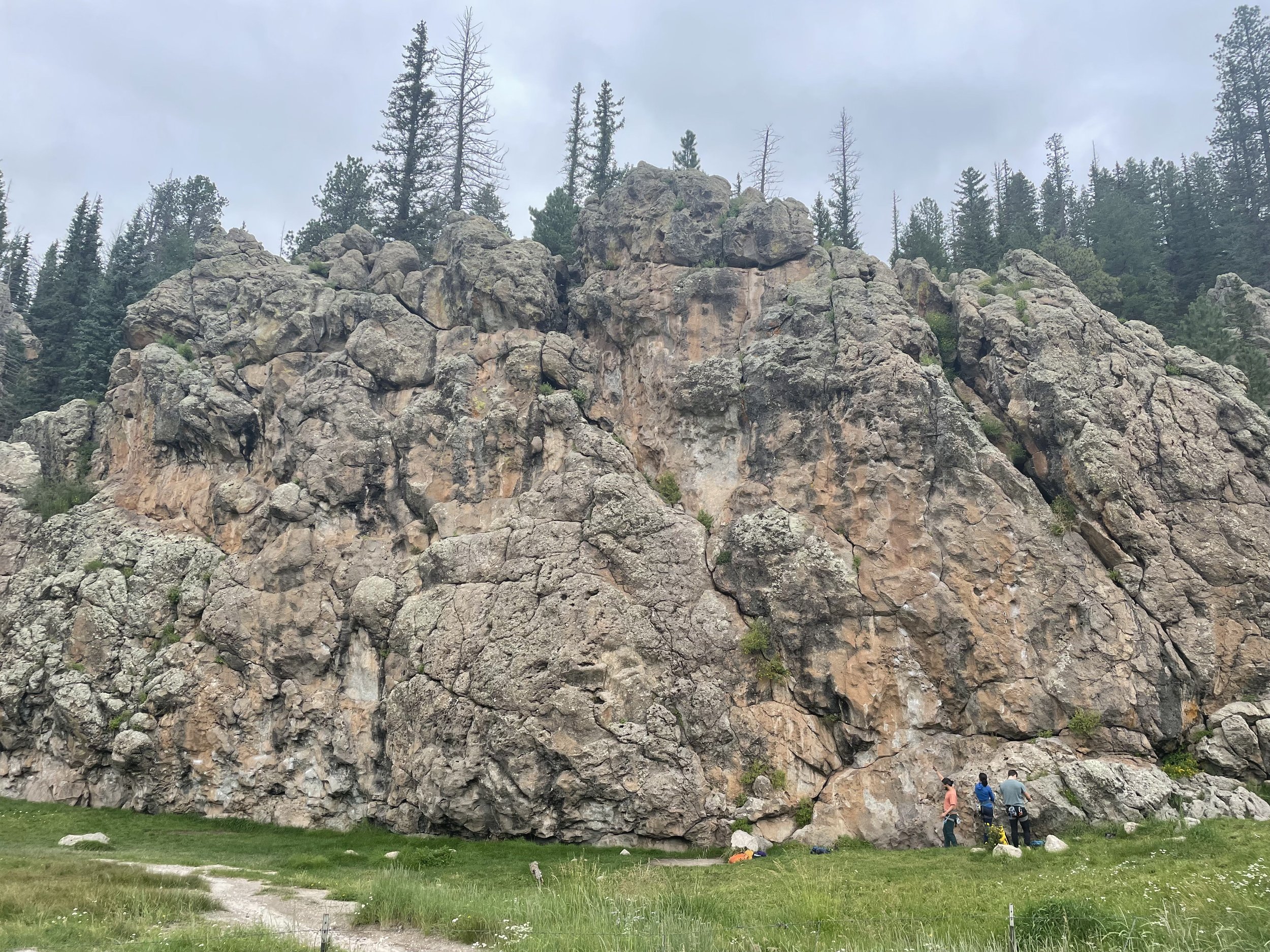
On Hwy 4 just a few miles West of the Valles Caldera is Las Conchas Climbing Area.  Here there is some amazing climbing in a serene setting along the East Fork Jemez River.  While a good amount of climbing here is a bit on the more difficult side there are some great opportunities for moderate leaders to climb quite a few routes in one day.  A great place to start for all climbers in all levels is the Cattle Wall.  This crag has a little something for everyone and offers sport climbs ranging from 5.6 - 5.12.  Another great crag for the moderate leader is Gateway Rock.  With climbs ranging from 5.6 to 5.11 it’s also a great place to start.  

There is something for everyone at Las Conchas it’s in a really magical setting.  

Fishing

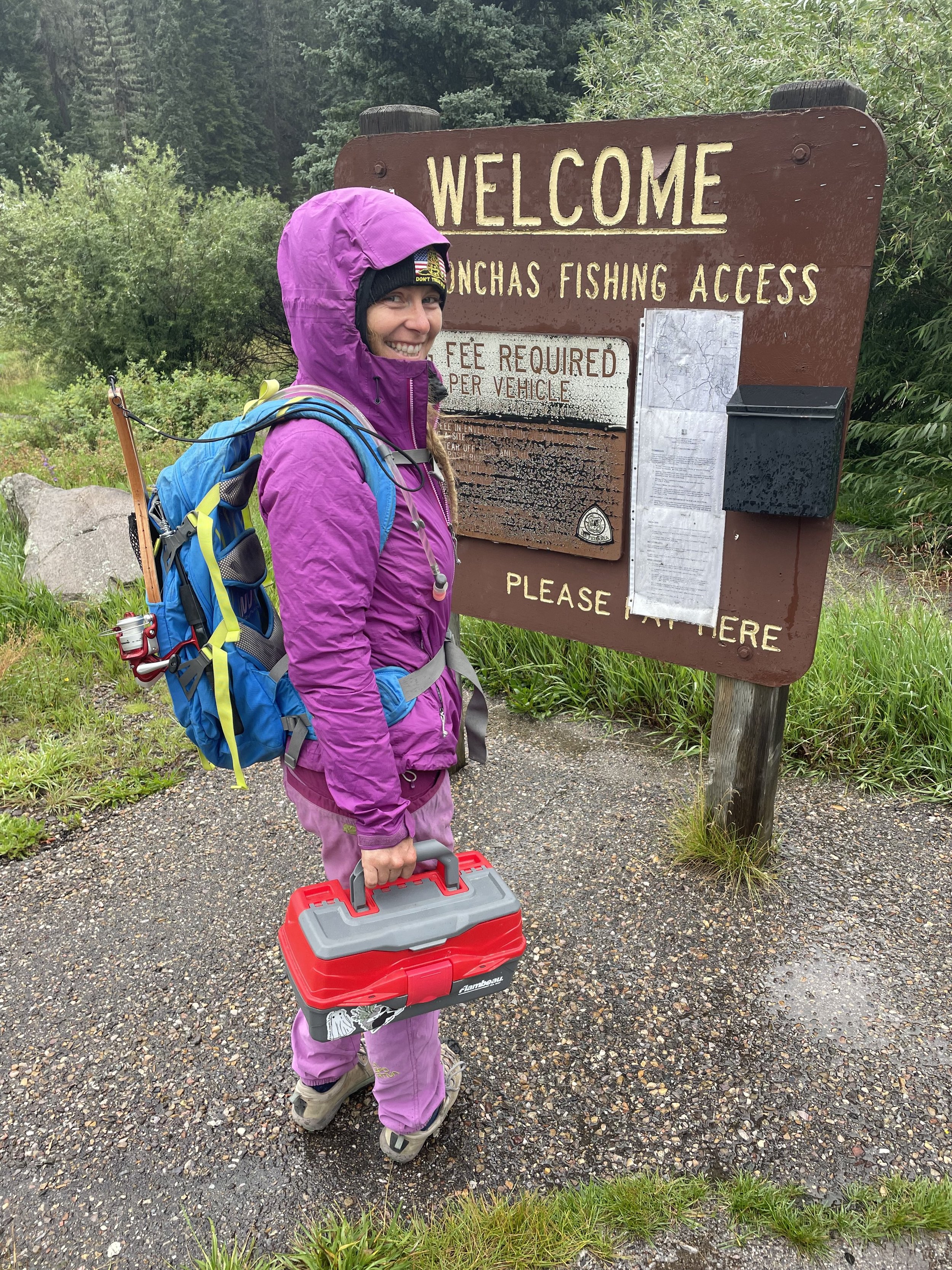
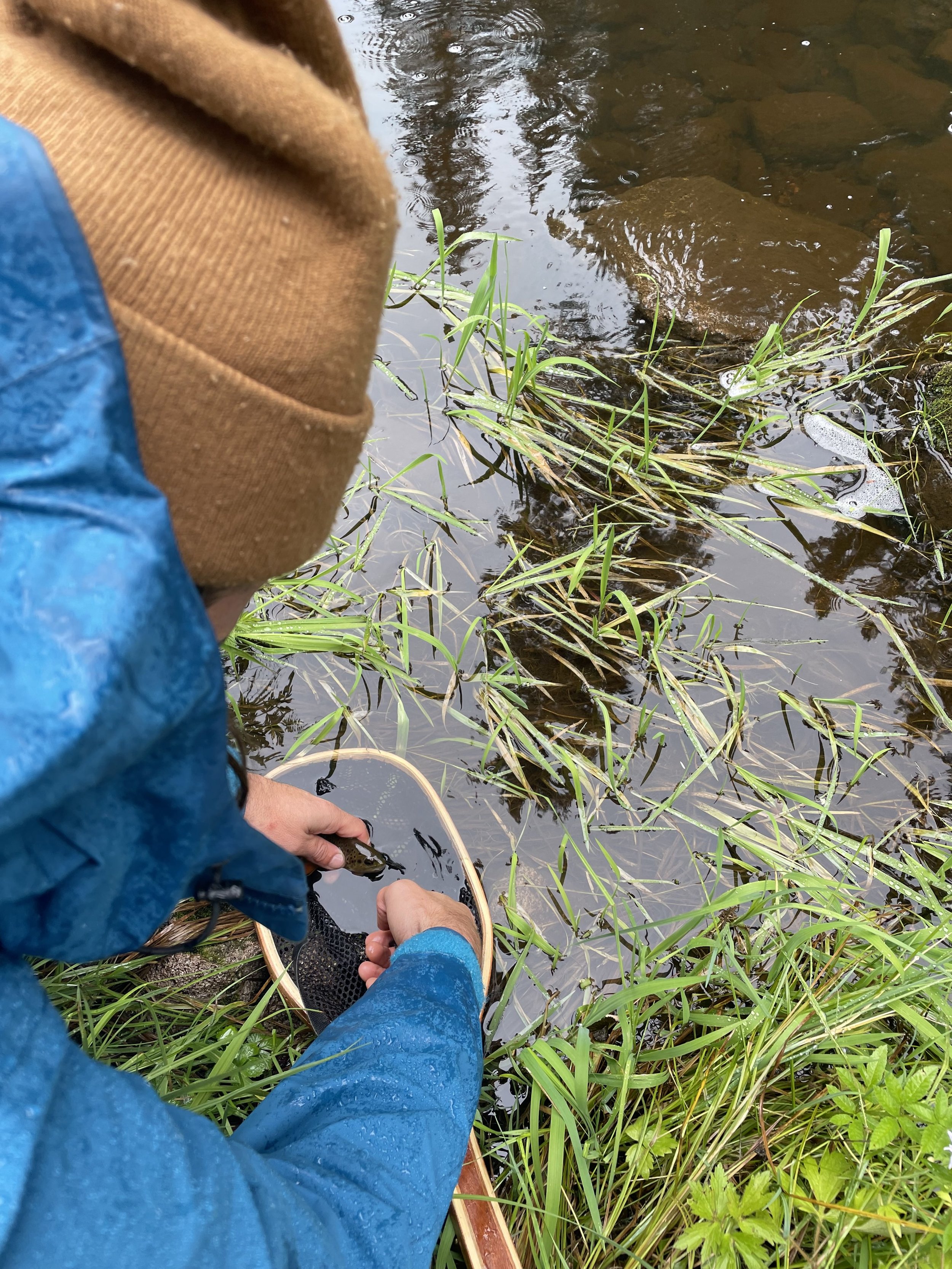
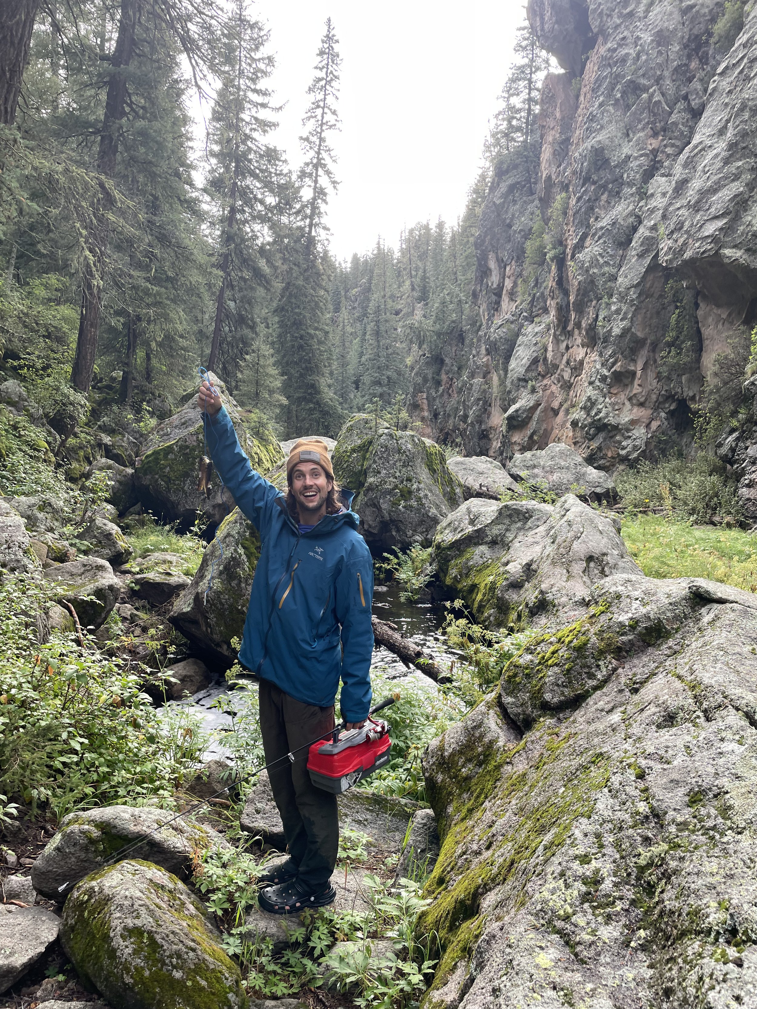
While I never claimed to be an angler I had an amazing time fishing the waters of the Jemez.  I had some success fishing the Upper and Lower Rio Cebolla as well as the East Fork of the Jemez.  We mainly caught brown trout and a few rainbows.  We also had success fishing at Fenton Lake State Park in the Upper Rio Cebolla.  We really enjoyed the Fenton Lake State Park it has a really cool campground and we took our SUP out a few times and fished.   

Hiking

There is a lot of options for hiking here in Jemez.  There are a lot of trails located in the Valles Caldera National Monument one of our favorite trails in the Caldera is Cerro Grande Trail.  This is a 4.5-mile climb up 1200 feet to the summit of Cerro Grande Peak overlooking the Valle Grande.  The summit is at 10,190 feet and is one of the higher peaks in the area.  This was a pretty easy hike to get to a summit so we felt obligated to do it and were rewarded with incredible views of the land of enchantment from the top of the summit.  

Another scenic and easier hike is along the East Fork starting at Las Conchas and making your way as far as you feel comfortable.  This is a very scenic and relatively flat trail that will end at some point and then will require creek crossings and some bush waking but it will take you through a beautiful lush canyon that you never would expect in New Mexico.   

Cheap Campgrounds

While there is plenty of Dispersed camping along FR 376 and other Forest Roads in the Jemez Mountains there are some incredibly affordable camping options at the National Forest Campgrounds and even at Fenton Lake State Park.  If you have a national park pass you can pay 1/2 the price for these campgrounds which in 2022 was only $5 per night!  That’s the cheapest I think I’ve ever paid for camping.

Floating the Rio Grande River During the Balloon Fiesta - Everything You Need to Know

Floating the Rio Grande River During the Balloon Fiesta - Everything You Need to Know

This year we wanted to have a new experience at the Fiesta. I just received two FreeIn inflatable SUPs and thought what a great way to see the balloons from the Rio Grande River. Luckily for us, there was plenty of flow this year due to unseasonably high rainfall this summer and fall.

I wrote this guide because I was scouring the internet for information and found little to no details so we set out and floated the river two times to find the best route and now I am sharing it with you.

Canyoneering in the Robbers Roost - Hanksville, Utah

Canyoneering in the Robbers Roost - Hanksville, Utah

Just East Outside of Hanksville Utah lies Robbers Roost. A large desert swath of deep, dark, and dangerous canyons with long exhausting exit routes. There are quite a few options for the adventures canyoneer out here in no man’s land. Each canyon is about a 40-mile drive on washboard dirt roads to get to but the journey is worth it and you will find true solitude in these slot canyons.

Utah's Best Kept Secret Slot Canyons

Utah's Best Kept Secret Slot Canyons

We set off for a full on canyoneering experience in southern Utah. Our original plans were to do some technical canyoneering in Zion National Park, but upon arrival to the Disney Land like scene at the Park we decided that we wanted a more authentic adventure away from the busy canyons and guided tours inside the National Park.

See how we found solitude and adventure in a less used corner of the state.

The Best of Eastern Oregon

Alvord desert Eastern oregon

The Best of Eastern Oregon

Bend, Oregon, is a van life hotspot.  With ample National Forest camping, just a few minutes’ drive from an adventure-driven town.  It’s easy to get sucked into the Bend, Oregon, vanlife vortex.  This is a great place to begin your Eastern Oregon road trip adventure.  There’s plenty to do in the Bend area and we have covered that in other blogs that you can see here.  Bend is also a great place to stock up on supplies and take care of all your errands before you embark on a journey that few van lifers have taken.  

This Road trip will take you through obscure Eastern Oregon terrain, from geothermal calderas, hot springs, giant holes in the earth, and ancient dry lake beds. This is a road trip off the beaten path that you will not want to miss.  

Newberry volcano hot springs oregon

Newberry Volcano - Hot Springs and Camping

The Newberry Volcano is basically a mini Crater Lake with a fraction of the tourists.  You’ll find plenty to do at this National Volcanic Monument.  While we were here, we hiked along the north shore of Paulina Lake to Paulina Lake Hot Springs.  These were some pretty sweet primitive hot springs on the shore of the lake.  We were planning on paddling our SUP out to the hot springs, but the water was too rough for paddling. But, taking a watercraft to the springs is always an option.  We only spent the day here, but if you wanted to there is a very nice campsite on the Eastern shore of Paulina Lake.  Also, the Monument has plenty of hiking; you can also drive up to the top of Paulina Peak for an amazing view of the crater.  

Eastern Oregon Road Trip HOle in the ground (1 of 1).jpg

La Pine - Hole In the Ground/Free Camping

Drive South on the 97 through La Pine, Oregon, and make a right turn onto HWY 31 and head east.  You are now entering The Lonely Oregon Outback.  There’s not much to see out here but there’s plenty of solitude.  Drive a few miles down HWY 31 to the Hole in the Gound, while it’s just honestly a massive hole in the earth caused by a volcanic explosion.  The road in is rough but it’s not terrible and we’ve seen tons of vehicles make it up here.  This is also the location of Descend on Bend, a large van gathering.  We love this National Forest campsite and since we’ve been here a few times, we can tell you this is the best place for camping around the rim (43.403982, -121.200021).  We really enjoy the peace and quiet out here in the Oregon Outback and the night sky is just amazing since there is no light pollution around. 

Heart Mountain Hot Springs Eastern Oregon

Heart Mountain Antelope Refuge - Hot Springs/Free Camping

When you are on the road and you get advice from the older retiree folks, well you better take it! Because they know what’s up.  We had a hot tip at our Bend campsite from our good friend @yoterryh to check out Heart Mountain and we are so glad we jumped on this adventure.  The drive up to Heart Mountain is stunning and a majority of this journey is on gravel and dirt roads. You better fuel up in Paisley because you are about to get very remote and there are no services past Plush, OR. The Heart Mountain Camp Ground is way out there and I’m going to leave it up to the adventurous van lifer that you are to find this place yourself.  I’ll let you know that there is a pretty nice free campsite with drop toilets and fire rings and an awesome hot springs with a rock shelter and also a primitive hot spring out in the field.  We really had an amazing time getting here it was such a beautiful drive and we saw plenty of antelope. We will also note, it snowed on us in June.  This is a very special place and is rarely visited by others.  

Eastern Oregon Road Trip Alvord desert heart mountain (9 of 13).jpg

Alvord Desert - Dry Lake Bed/ Free Camping

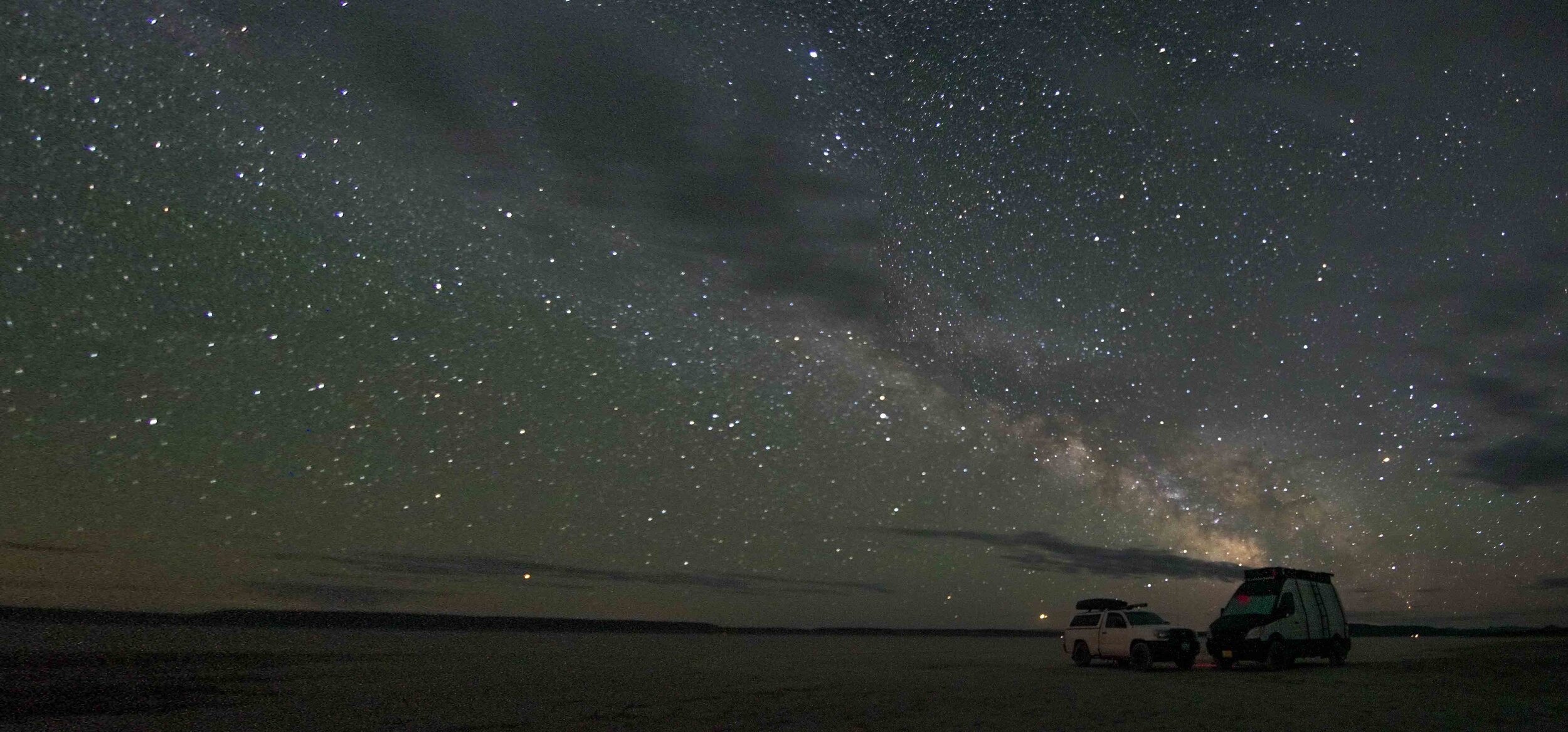
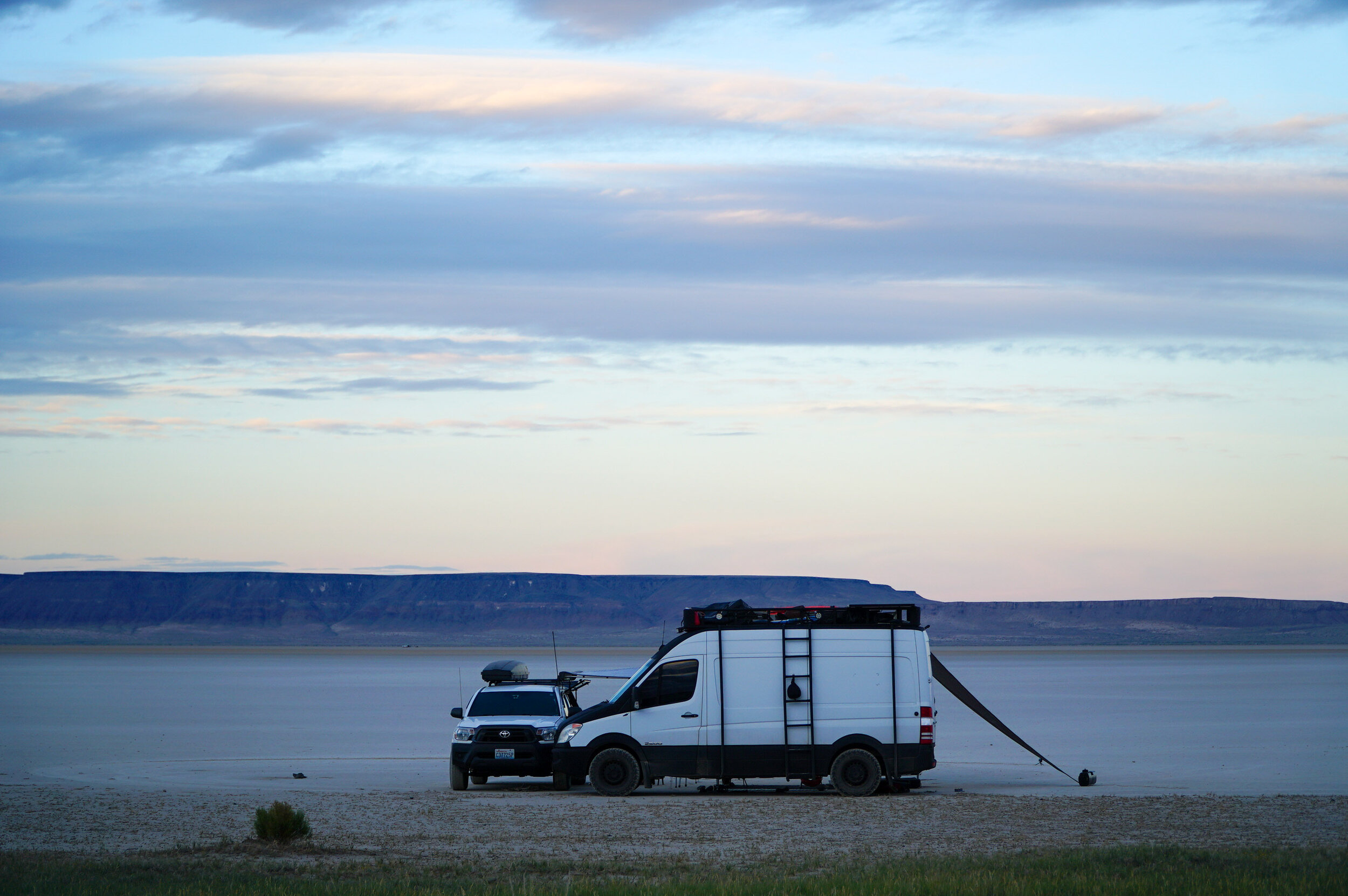
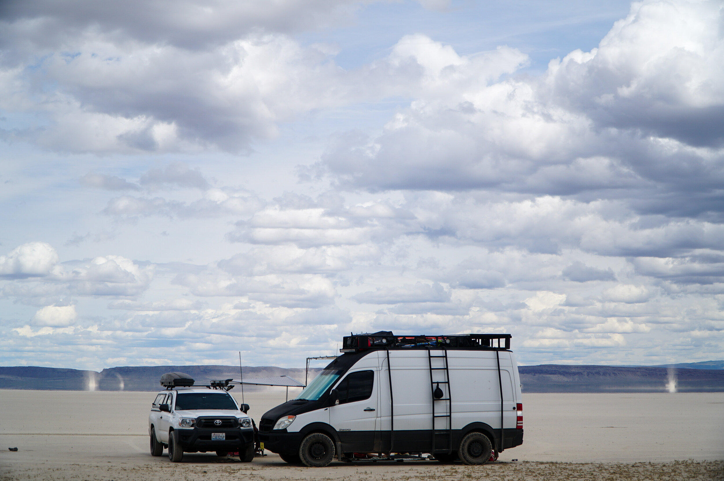
Our last stop on our obscure Eastern Oregon adventure was also recommended by @yoterryh and others, The Alvord Desert.  Getting here from Heart Mountain requires quite a bit of gravel and dirt road driving. So, we recommend lowering your tire pressure, once you hit the gravel on the way to Heart Mountain because you will drive a few hours on gravel from here on out.  The Alvord desert is a massive dry lake bed that is situated under the Steens Mountains, which makes it even more of a unique landscape.  When we visited the mountains were still snow-capped,  it was interesting seeing the snow-capped mountains while you were down on the desert floor.  It’s really a magical place.  We drove far enough away from anyone and enjoyed a very secluded campsite out on the desert.  Make sure you stake everything down because when the winds pick up they can really take your campsite with them.  We also recommend bikes to cruise around the “playa” and imagine you are at Burning Man.  The silence was amazing and the night skies were some of the best we’ve seen in America.  We highly recommend making the journey to the Alford Desert to experience true solitude.  

From the Alford Desert, we headed up to Boise, Idaho, to supply up and continue the journey.  From here, we will note there is still quite a bit of gravel and dirt roads to go. So, you’ll want to air down those tires for a smoother ride, we recommend keeping them lower.  There are plenty of stations once you hit the pavement to fill up the tire pressure.  

Castle Lake Free Camping - Best Camping in Shasta

Mount Shasta Free Camping

Castle Lake Free Camping - Best Camping in Shasta

If you are headed up I-5 on your way to or from Oregon and are curious about what to do in the Mount Shasta area, we got you covered. Castle Lake is an amazing alpine lake with amazing views and very easy access right off I-5.  While there is a pretty nice paid campsite at the lake.  There’s more free dispersed camping with way better views than the paid campsite about a mile down the road here (41.242939, -122.382676).  There are toilets at the Castle Lake day-use parking area and we have camped at the day-use area in the past but wouldn’t recommend it as it was very loud in the morning with all the day-trippers coming to enjoy the lake.  

If you have and watercraft this is the best lake for them.  We have a SUP and an inflatable kayak from Aqua Marina that we really enjoy using.  They are pretty cheap and last we’ve had them for over three years and they are still going strong.  You can check them out here.  

Castle Lake has an awesome floating dock out in the center of the lake that you can get a view of Mt. Shasta and just relax and feel the power of the planet earth’s root chakra.  There is also a waterfall that flows into the lake that you can paddle right up to.  Also if you don't have any watercraft there is an amazing short hike to an epic lookout we have more on this hike here. This is one of our favorite stopovers on our way to and from Oregon if we are driving on I-5.  It’s literally 30 minutes off the road and is such a van life gem.  If you are reading this, consider yourself blessed to have found this obscure article buried deep in the depths of the inter webs.  Happy Trails!  

Castle Lake Kayaking Mount Shasta

Pocatello Idaho Rock Climbing & Free Camping

Rock Climbing Pocatello

Pocatello Idaho Rock Climbing & Free Camping

The best part of vanlife, hands down, is meeting all the crazy cool kookz along the way.  We met up with our van friends Josh and River aka @leashed_nomads in Pocatello, Idaho, where they call home base.  If we didn't know these guys, we would have blown through Pocatello and missed all the gems this place had to offer.  

Our first stop with the @leashed_nomads was the Sunnyside Climbing Area,  this is an awesome free outdoor climbing area that is basically a climbing gym.  All routes were bolted by the Public Access Fund for the community of Pocatello.  While most routes are sport-climbs, starting from 5.6 and up. This is a great place for beginners and advanced rock climbers to get outside and enjoy a nice free public rock climbing area.  We were so stoked on this crag, we wished every city had a rock climbing park like this.  There’s more climbing also on the other side of the park which is called Shadyside Climbing Area.  Every route can be lead climbed or top-roped making it a great place for all levels.  The climbs are short but the rock is solid.  Before you blow through Pocatello we highly recommend stopping over at this crag.  

Free Camping pocatello Idaho (1 of 1).jpg

There’s also plenty of open space around Pocatello providing plenty of free camping options. Two places we camped out were Blackrock Canyon and Goodenough Creek Campsite.  While Blackrock Canyon is closest to Pocatello, it’s worth the drive out to Goodenough Creek, which had more vegetation for shade, as well as, a creek.  Both campsites have drop toilets and fire pits.  

There’s also a good deal of Mountain biking in the hills around Pocatello but we didn't have time to squeeze that in.  Thanks to Josh and River we got to experience a little bit of what Pocatello has to offer.  We highly recommend making time for a stop over in this adventurous little Idaho town.

5 Best Day Hikes in Grand Teton National Park

Delta Lake Hike Teton National Park

5 Best Day Hikes in Grand Teton National Park

Wow!  What more can you say when you first lay your eyeballs on the Grand Tetons?  This jaw-dropping mountain range juts straight up to the heavens at 13,775 Feet and is the second tallest mountain range in Wyoming.  You’ll also notice that the mountains here are incredibly steep and rocky.  Hiking and climbing here are not for the faint of heart.  Most trails in this park have big vertical climbs that vary from never-ending switchbacks to rocky scrambles, but every step is worth its weight when you reach your destinations amongst craggy peaks teeming with wildlife.  We spent a lot of time at this park, and it was hard to leave, not only because it’s so beautiful but also because our bodies were so beat from hiking over 50+ miles of some of the steepest terrain we've encountered.  If you have never been to the Tetons and want to know the best hikes, here are a few of our favorites.  

****You will want to carry Bear Mace. We encountered more bears in the Tetons than anywhere else we have ever been!! 

***Jenny Lake shuttle hot tip

***On a few of these hikes, you will want to take the Jenny Lake shuttle to the Cascade Canyon trailhead.  While this is not required, it will save you about 5 miles (roundtrip) of hiking around Jenny Lake.  The pro tip here is to catch the first boat shuttle at 7 in the morning for $5 per person; otherwise, it’s around $18! 

Solitude Lake Grand Teton National Park Hiking

Lake Solitude (16 Miles, Hard)

Lake Solitude starts from the Cascade Canyon trail, a moderate trail up a canyon that ends at a split.  Most people hike up Cascade Canyon 4 miles to the end and back down to the boat dock.  Cascade Canyon is a beautiful hike on its own, and you can expect to come across plenty of wildlife along the way. We saw Moose, Marmots, and Bears.  If you are up to the challenge, you can continue the hike up to Lake Solitude, which adds another 8 miles round trip and the journey.  From the boat dock at Jenny Lake, you will climb 2,640 feet to the lake.  We did this hike in late June, and there was still plenty of snow at the lake, so bring proper footwear.  You do get some pretty spectacular views of the Grand Teton from the lake.  There’s also plenty of overnight backpacking opportunities on this trail, and you can get a permit here for a small fee (https://www.nps.gov/grte/planyourvisit/bcres.htm)

Lake of the Crags Teton National Park

Lake of the Crags (4.5 Miles, Hard) 

Although this has shorter mileage and seems like it would be an easier option, don’t be fooled. This is a challenging hike up to an amazing alpine lake surrounded by jagged peaks.  Be prepared to scramble up rocky terrain at an alarming rate as this hike climbs 2,885 feet in 2.2 miles!  Bring plenty of water, sunscreen, sunhat, and sunglasses as you are very exposed to the sun and heat on this hike.  Although it’s challenging, the climb is actually very scenic. You’ll scramble up boulders along waterfalls, and at any given moment, you can turn around for amazing views of Jenny Lake.  Once you make it to the lower lake, be prepared to hike up a few snowfields.  If you aren't experienced in traversing snowfields or don't have the proper equipment, we recommend you don't go any further as a slip could be fatal.  We witnessed a helicopter emergency rescue at the lake.  A climber slid down a snowfield and collided with a boulder, and had to be airlifted out.  This National Park can kill you in many ways, so always be prepared!  Once we got to the lake, we celebrated with a small breakfast, caught our breath, and relaxed amongst the crags.  We started early (7 am), and we were the first people to the lake.  On the way down, we saw many hikers sweating it out on the climb in the heat of the day.  You don't want to be doing this.  

Best Teton National Park Hikes

Surprise and Amphitheater Lake  (8.9 Miles - Hard) 

The next hikes don't require the Jenny Lake shuttle, and all start from the Lupine Meadows Trail Head.  Once again, be prepared with Bear Spray. We saw two bears on this trail.  This is a hectic trail so start early!  We started before dawn, hiked in the dark for a bit, and caught the sunrise from the trail.  Once again, we were the only ones at the lake.  This hike climbs 2,942 Feet to two beautiful alpine lakes.  Amphitheater Lake is the higher of the two lakes and only an additional climb from Surprise Lake, so don't cut yourself short here. You got this!  Upon reaching Surprise lake, we were planning on hiking to Disappointment Peak, but there was just too much snow and ice, and we weren't prepared for the conditions to make it to the peak.  So we scrambled and climbed around some of the rocks around Amphitheater Lake to get a view from above.  There is a really nice view from the ridge to the north of the lake, and it is easy and safe to climb up.  We headed down to an overflowing parking lot where we cooked lunch and relaxed.  

Delta Lake Hike Teton National Park

Delta Lake (8.8 Miles - Hard)

The shortest way to start this trail is from the Lupine Meadows Trail Head.  Once again, the key to having most of these hikes to yourself is to start very early!  This is an overly busy National Park, and it gets hectic out there.  This was easily one of our favorite hikes.  You can do Delta hike as an out and back, ascending 2,330 feet.  We actually combined this hike with the Amphitheater Lake Hike to make it an 11.5 Miles, 3670 Foot climb that included all three lakes (Surprise, Amphitheater, and Delta, Highly Recommended).  Delta Lake was our favorite of all the Teton Alpine Lakes!  Delta has an amazing teal hue, and the Grand Teton looms high above the lake, reflecting her glory across its glassy glacial waters.  It’s that beautiful. I had to get poetic.

Hike in Teton National Park

Taggart Lake Loop (4.1 Miles, Easy) 

Taggart Lake is a nice hike for the less adventurous type that still wants to experience some Teton magic.  This is a very scenic and mellow hike to a large lake with great views of the peaks.  We even went for a swim in the lake it was very refreshing.  We did this hike later in the afternoon, and it wasn’t hectic.  However, we will note that the sun is better earlier in the day, and it was hard to take good photos of the lake at sunset.  The mountains are too big, and they block the sun out.  

We hope this is helpful to you!  We have more Grand Teton National Park Tips here! 

Planning Your Grand Teton National Park Trip - Five Activities to do in the park.

Where to stand up paddle board in Grand Teton National park

Are you planning a trip to Jackson to visit Grand Teton National Park and wonder what to plan to do inside the park?  Well, luckily for you, this National Park is packed full of activities that wear out any outdoor enthusiast.  

Hike the Tetons

Best hikes in the tetons (1 of 1).jpg

Hiking and climbing in the Tetons is not for the faint of heart.  Most trails in this park have big vertical climbs that vary from never-ending switchbacks to rocky scrambles, but every step is worth its weight when you reach your destinations amongst craggy peaks teeming with wildlife.  There are tons of trails in this park, and they range from easy to difficult.  We have compiled a list of the 5 Best Hikes in Teton National Park here.  You can also plan a multi-day or overnight backpacking journey here.  Just remember to be prepared when heading out into the backcountry or on any trail at this park. We encountered plenty of bears and hazards; so, be prepared and make sure to stay sun-safe, as many of the hikes are exposed.  

Paddle the Tetons

Stand up paddle Board Grand teton National Park (1 of 1).jpg

There are plenty of options to take your watercraft out onto the lakes in this park.  We highly recommend getting up for a sunrise paddle on String Lake.  You may find you’re the only person on the lake as you glide across glassy reflections of the Tetons glaciated peaks.  This is a magical experience, and we couldn't recommend it more.  If you get up that early, you can find the best place to park for the day.  There are nice picnic tables and plenty of beaches on the lake to relax and spend the day reading and taking in the splendor of mother nature.  

Bike the Tetons

Teton National Park Bike Trails (1 of 1).jpg


There’s a pretty nice bike trail through the park that even extends all the way to Jackson, WY.  While there is no mountain biking trails, this is one of the most scenic bike trails we’ve ever been on.  All ages can handle this paved bike path, and it’s very convenient to bring your bicycle if you are camping within the park.  The bike trail goes right through the campsites and you could bike to most Trail Heads if you don't want to lose your spot.  

See Wildlife in the Tetons

Where to see bears in grand teton National Park (1 of 1).jpg


This park is teeming with wildlife!  There’s almost some sort of critter at every bend in the trail.  We saw plenty of moose, bear, dear, birds, and marmots, to name a few.  The hotspots to see wildlife is on the Cascade Canyon trail, and Lupine Meadows.  We also saw a bear at the Jenny Lake ferry.  Make sure to follow proper wildlife guidelines provided by the park and carry bear spray, once again.  

Photograph the Tetons

Ansel Adams Grand Teton Snake Overlook (1 of 1).jpg


It’s no coincidence that one of Ansel Adams most famous photographs is of the Teton Range form the Snake River Overlook.  These mountains are so beautiful that they take the picture for you.  You could be blindfolded and still take good photos here.  Some of our favorite photo spots are.  String Lake, Snake River Overlook, Taggert Lake, Delta Lake, and Form Shadow Mountain Across the valley.  Don't forget to charge and bring extra camera batteries; you'll thank us later.  


We hope this was helpful if you are looking for more Teton tips and tricks we have more articles with our favorite hikes and campsites!  

Five of the Best Free Camping Areas Near Grand Teton National Park

Best Free Camping in Teton National Park

Five of the Best Free Camping Areas Near Grand Teton National Park

Are you planning a camping trip to Grand Teton National Park?  Having a hard time finding where to camp?  This is a busy park and campsites in the area book quick.  While there is camping available inside the park, it’s first come first served and we’ve seen people in line at 6 am waiting for campers to leave to nab their spots.  You can check camping options inside the park here, but don't be surprised if it's full and overpriced.  However, there is some good news for the desperate camper at GTNP.  There are tons of amazing campsites outside of the park; some are just 30 minutes out while others are an hour or so.  But it’s a National Park and usually to find camping spots around NPs requires a good deal of driving.  Here is a list of our favorite spots around Jackson and the Tetons. 

None of these spots have toilets; so be prepared with a shovel and dispose of your TP properly. I don't want to have to take this post down.  

Shadow Mountain - (43.70418, -110.62170) 

Best Free Camping near jackson (1 of 2).jpg

Camping at the base of Shadow Mountain provides incredible views of the Teton range.  All the campsites are at the base of the mountain.  Be careful if it has rained; it can be impassable.  We almost got stuck in some nasty mud leaving one day.  Here at Shadow Mountain, there are probably about 10 spots at the base, these spots will go the fastest.  It sometimes helps to carpool into the park and leave a vehicle at your spot. If you leave your spot it will be gone almost immediately.  There are more options up the mountain and these will provide better views, but the road can be treacherous so enter at your own risk. 

Free National Forest Camping - (43.76777, -110,54171)

Best Free Camping near teton national park (1 of 1).jpg

This is dispersed camping fairly close to the north entrance of the Tetons.  It’s really just a large dirt lot with more options if you continue to follow the road.  We used this spot as more of a desperation camp when we left the park too late to find a good spot at Shadow Mountain or elsewhere.    The road in is manageable but can be very rutted out so larger older vans will have to take it easy. 

Buffalo Valley - (43.85031, -110,34161)

Best Free Camping near jackson (2 of 2).jpg

If you want to escape the madness of the National Parks in this area Buffalo Valley is a great place to boondock for a few days or even weeks.  This is a bit further away but you will be able to find peace and quiet as the other spots are quite overrun.  We stayed out here for a few days and drove into the NP at the north entrance and it was about an hour drive into the Park.  There are plenty of awesome spots; you can even score a spot right on the river.  

Curtis Canyon- (43,52167, -110.62763)

Best Free Camping near jackson hole (1 of 1).jpg

These dispersed campsites are closer to Jackson than they are to GTNP and is a great place to stay if you need a place to camp near Jackson, WY.  The road up to Curtis Canyon starts just east of Jackson and is fairly convenient.  We will note that it’s a very bumpy ride in here, so if you don’t live to take your rig on rough roads you may want to skip this spot.  There are plenty of spots and the views here are incredible. We posted up on top of the mountain for a few days and enjoyed the scenery and peace and quiet before we headed back to the park for some adventures.  We did camp a few nights in Jackson and had no issues, the town seems overran by vans and RVs anyways.  

Granite Creek - (43.31147, -110,45902)

Best Free Camping Near Jackson Wyoming

This is an amazing spot worth checking out!  While it’s not really close to GTNP or Jackson, it was one of our favorite places to camp in the area.  The road up Granite Creek is very bumpy but it can be done in any vehicle. We saw plenty of RVs driving this road.  There is also a paid campsite with a hot spring at the top of the road.  We stayed at this place for over a week.  We stopped over after climbing the Hobuck Shield.  The Granite Creek area has lots of recreation options from hiking, fishing, and even kayaking.  We took our buddies pack rafts down the creek a few times and had a blast!  We highly recommend a stopover here just to unwind from the crazy scene that's going down in Jackson every summer.  

There are plenty more options for camping in this corner of Wyoming. We also highly recommend checking out Alpine, WY.  There’s a nice reservoir with plenty of options for camping.  We hope this was helpful!  See you kookz on the road!  

Best Places to See Wildlife in Yellowstone National Park

Where to see wildlife in Yellowstone National Park

Best Places to See Wildlife in Yellowstone National Park 

Where do we even start with this massive National Park?  First off, we will warn you that this is a very busy National Park that requires quite a bit of driving to really experience all of its wonders.  We had no idea where to start when we headed up to Yellowstone so we just went with the flow.  Our Yellowstone adventure turned into a DIY safari of sorts and we loved it!  We couldn't believe the amount of wildlife we saw in Yellowstone, it was mind-blowing!  Here are a few of the places we encountered the most wildlife.  

Baby Buffalo Yellowstone National Park

Hayden Valley 

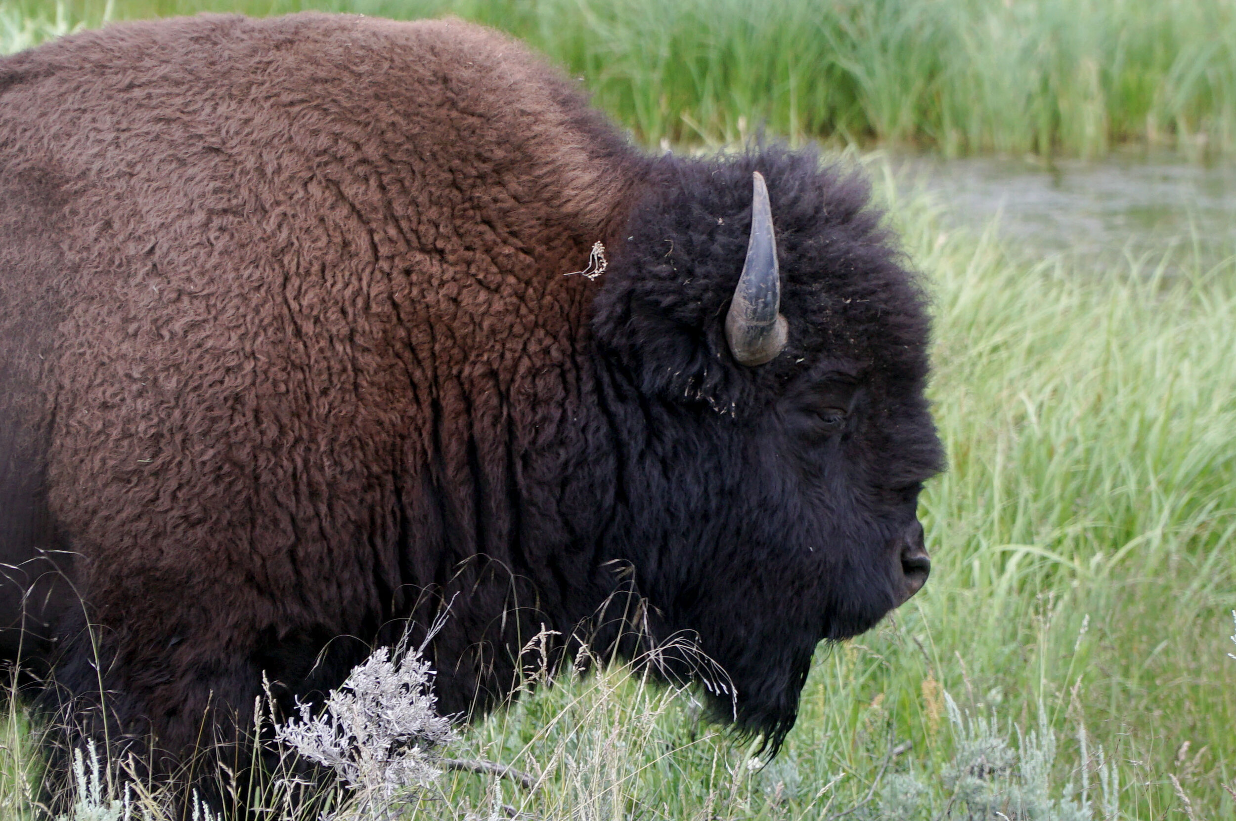
This is the hot spot for seeing wildlife.  You will have better luck in the early morning and in the late afternoon/early evening.  You will want to bring some good binoculars if you want to spot wildlife in Yellowstone.  While you will be lucky enough to see some action right off the side of the road.  Most of the time a good set of binocs will really improve your chances of spotting elusive species.  We were able to spot a grizzly bear off in the distance, bison, elk, and even wolves are some of a few larger species that you will spot out in the Hayden Valley. It’s like a Nat Geo TV show sitting out there with your spotting scopes or binoculars.

Lamar Valley

Situated in the Northeast quadrant of Yellowstone is the Lamar Valley.  This is a known hot spot for wolves.  Also, large herds of Bison roam this valley frequently.  We were very fortunate and able to spot a wolf right off the road corralling some bison.  There was a pack of wolves way back in the valley that we could barely spot, even with our binocs.  This is also where we found the largest concentration of bison.  There was about a 30-minute bison traffic jam when we were trying to get back to the Mammoth Hot Springs Area.     
Where to find wildlife in Yellowstone

West Thumb Geyser Basin

This was our first stop in Yellowstone.  We arrived very early from the south entrance and made the first stop at the West Thumb Geyser Basin. We weren't sure what to expect but upon arrival, we were greeted by a herd of Elk.  We walked the Geyser boardwalk and had to share the boardwalk with all the families of Elk.  Not sure if this is a hot spot for the Elk in the morning, but we did see a whole bunch of Elk and even a few babies.  

Best Places to see wildlife in Yellowstone

Fountain Flat Drive

After visiting Ole Faithful we head north towards Madison.  We were set on seeing more bison and just before Madison is Fountain Flat Drive.  We took the road because we saw a bunch of Bison off in the distance.  As we drove down the road we came across a large herd of Bison overtaking Fountain Flat Drive and roaming through the grass. Both times we detoured to this road we found herds of Bison!

Bozeman Mountain Biking

Mountain Biking near bozeman

Bozeman Mountain Biking 

Bozeman Montana is an adventure-driven town and a recommended stopover if you want to get on the trails.  We camped in Bozeman for over a week and never had any problems we found it to be a very van friendly town.  There are tons of bike trails in this area, and we narrowed it down to the best rides within 60 miles of Bozeman.  

Big Sky’s Mountain to Meadow 

There’s no need to buy a lift ticket to ride Big Sky Resort, thanks to the town shuttle that drives you back to the top after a screamer of a run down some premier downhill.  You’ll start by climbing next to the Ramcharger lift.  You’ll climb up for about 1.5 miles before you start a long flowy descent with berms and jumps all the way down to the town of Big Sky.  From here, you'll want to head to Fire Pit Park, where you can catch the free mountain shuttle back up to the Ski Area Base where you started.  You can lap this a few times since the uphill is fairly easy.  Make sure to grab a shuttle schedule or check it out here!   

Leverich Canyon Mountain biking

Leverich Canyon

Just a few miles outside of Bozeman is one of the more popular trails in the area.  Leverich Canyon is a short drive from Bozeman.  The road up had been claimed to have been repaired lately but is pretty rutted out and is a sign of things to come.  If you are in a large camper van, you can make it, but it will be a bumpy ride up.  The climb up Leverich Canyon is pretty intense, but it’s worth every chain length.  Once you top out on this ride, get your seat belt fashioned because this is a fast and fun downhill section.  It will be over so fast you’ll want to ride it twice.  

Best Mountain Biking trails in Bozeman

Bridger Range

Just North of Bozeman is the Bridger Range.  There are quite a bit of out and back trails here where you can really gain some vertical and get a nice sweat going.  We rode a few fun trails out here and were even able to camp overnight at some trailheads.  These trails see much less use than the previously mentioned trails, and some of them have been recently built in the last few years, so they are in great condition.  

5 Best Hikes in Glacier National Park

Best day hikes Glacier National Park Logan Pass

5 Best Hikes in Glacier National Park 

Glacier National Park is one of our all-time favorite National Parks.  There are so many trails in this park that it’s hard to decide where to begin your Glacier NP adventure.  The trails in this hiking guide are all off the Going to the Sun Road, and most start at the Logan Pass visitor center, which is worth visiting on its own if you aren't going to hit the trails.  We will note that we started all our Glacier hikes very, very early, sometimes at dark.  This is a bustling park, and you will be glad you got up early and still barely snagged a spot at the Logan Pass Visitor Center parking.  

Also, on all hikes in Glacier National Park, you’ll want to carry plenty of water, bear spray, sunscreen, and sun apparel (hats, SPF shirts)

Dragons Tail Glacier National Park Hiking, Best Hikes Glacier National Park

Dragons Tail (5.4 Miles - Dangerous, Difficult)

Dragons Tail is not for the faint of heart, and like many Glacier NP trails, people die on this trail almost every year.  Please consider that this is a very exposed hike where you will climb a ridge with a sheer drop on both sides.  With all that being said, this was by far our favorite hike in Glacier.  It’s shorter than the other hikes, and the scrambling and exposure are actually really amazing.  It’s one of the most scenic hikes we’ve ever been on.  For a safer experience on Dragons Tail, you can always hike up to the gap in the ridge.  You’ll know when you’ve reached it and turn back.  You can also combine this hike with Hidden Lake and knock out two hikes in one, making it about an 8-mile round trip hike.  You’ll start this trail at Logans Pass, and you will take the Hidden Lake trail till you see a climbers trail that takes you to either Dragons Tail or Mt. Reynolds Peak.  

Grinnell Glacier Overlook, Glacier National Park, Best Hikes Glacier National Park, Logan Pass

Highline Trail to Grinnell Overlook (15.5 Miles - Hard)

The Highline trail is one of the busiest and most scenic hikes in the park.  The trail starts from the Logan Pass Visitor Center.  This trail can be made in so many different ways.  On a non-COVID Year, when the shuttles are running, you can hike it through-hike to “The Loop” and take the shuttle back to the car and make this a much shorter hike.  We did it as an out and back, and it really wore us out!  The highland trail is a must-do for everyone visiting Glacier National Park.  Even if you walk a few miles on it and turn around, you will be in awe the whole time.  If you are doing the Highline Trail, we recommend adding the additional climb up to the Grinnell Glacier Overlook. You won’t be disappointed. This is another mind-blowing vista that you come to expect at Glacier National Park.

Siyeh Pass Hiking Glacier NAtional Park (1 of 1).jpg

Siyeh Pass Trail  (9.7 Miles - Hard) 

This trail starts off the side of the Going to the Sun Road, at “Siyeh Bend.”  You’ll find parking easier over there, and this is also a less used trail, but it still has its fair share of people on it.  Another Glacier gem, this trail meanders through a forest and continues to climb up through glacially vandalized valleys and peaks until you come to Siyeh Pass.  Once again, per Glacier NP standards, this hike delivers all that you would want and more.  Once you top out, you'll be high up in the alpine. The views are incredible! You’ll be looking at Going to the Sun Mountain, Siyeh Peak, and St. Mary’s Lake below.  If you get to Logan Pass too late to find parking, you’ll most likely be able to park somewhere near the “Siyeh Bend.”

Lincoln Peak Hike Glacier National Park (1 of 1).jpg

Lincoln Peak (15 Miles - Hard)

The climb up to Lincoln Peak begins at the Lake McDonald Lodge. You’ll use the Sperry Chalet Trail to approach the summit.  This has been said to be a family-friendly peak, but it’s a fairly strenuous climb.  If you don’t want to make the climb up to the peak, the Sperry Chalet is a great place to stop for a snack.  The peak is just over an additional mile of climbing from the Chalet, but it’s more difficult terrain than you have been hiking on to get to Sperry Chalet.  It’s worth the climb. There’s an amazing view of Lake Ellen Wilson overflowing to a 500-foot waterfall that spills into Sperry Lake.  We were really happy we added Lincoln Peak to our Sperry Chalet adventure.  I will note that the hike up to Sperry Chalet is through a burn area, and there is little sun protection, so you will want to start this hike early to prevent sun exposure and overheating if you are here in the summer.  

Best Easy Hike in Glacier National Park (1 of 1).jpg

Hidden Lake (2.9 Miles - Moderate)

If you have skimmed through all these hikes and they seem too difficult, or you are short on time.  A must-do shorter, moderate hike is up to the Hidden Lake Lookout.  This is an amazing short hike along a boardwalk that is littered with wildflowers and glacier valleys in all directions.  This was a very popular hike. When we did it, we started at dark and watched the sunrise and light up the glacier-carved peaks.  When we were here, there was a lot of bear activity. So, be prepared with Bear Spray and be on the lookout for mountain goats; we saw a few on this trail.   

We hope this helps you get a better plan together of how to plan your Glacier NP getaway.  We will note that all the other park areas, Two Medicine Hat and Many Glacier, were closed due to COVID, so we didn't get to explore these areas.  Happy Trails!  

Best Hikes in North Cascades National Park

North Cascades National Park Best Hikes Sahale Arm Cascade Pass

Best Hikes in North Cascades National Park

We had no idea what we were in for when we were driving along the North Cascades Highway. Thankfully, we had some local Washingtonians tell us a few hikes that we shouldn't miss out on.  Hiking in the North Cascades, for the most part, is pretty strenuous, requiring at least 2,000 ft of a vertical climb on most of these trails.  But we’ve been training all summer, so we were ready for a challenge.  We were blown away by this area's beauty. From the turquoise waters to glaciated peaks, this is one of America’s most beautiful mountain ranges.   

Also, on all hikes in North Cascades National Park, you’ll want to carry plenty of water, bear spray, sunscreen, and sun apparel (hats, SPF shirts)

Best Short Hike in the North Cascades (1 of 1).jpg

Maple Pass (7.1 Miles - Hard)

Located on the East end of the North Cascades Highway, Maple Pass is a great starter hike to get you warmed up for what’s ahead on your North Cascades adventure.  You’ll climb 2,188 Feet on this trail to the top of the pass.  Maple Pass is a fairly busy trail. We started at about 5 am so we could get to the summit for sunrise.  The hike begins at Rainy Pass and is a nice loop hike.  We did it in a counterclockwise direction, and we would recommend you do the same it was a more mellow climb.  Once at the top of the pass, you have the opportunity to scramble up some rocky peaks. We highly recommend getting up higher for amazing 360-degree views.  On the way down, we walked along the ridge and connected back up with the trail, which added a really cool dynamic to this already epic hike.  

Sahale Arm Overnight Backcountry Trip, Sahale Arm Backpacking

Cascade Pass to Sahale Arm (11.6 Miles - Hard)

This is a pretty intense climb up Cascade Pass to the base of the Sahale Glacier and climbs 4,038 Feet in 11.6 miles, so be ready for non-stop climbing.  This is a great place to overnight.  But we will warn you that getting permits at the Cascades Wilderness Information Center (WIC) is pretty intense the citizens of Washington are outdoor enthusiast, so you might as well camp out at the center to get the permits you want in the morning.  When writing this article, the North Cascades WIC issued all backcountry permits on a first-come, first-served basis.  We had no luck getting any permits, so we just day hiked it and camped in the Cascade Pass Parking lot.  This was the premier hike in the area. Although it was tons of work, we loved it.  We highly recommend trying to get a backcountry permit to camp up here. This is a must-do hike if you are in shape for it.  We couldn't recommend it more.  We also saw three black bears on the trail, so be bear aware and carry bear mace.  

Ptarmigan Ridge Backpacking, Ptarmigan Ridge Mt. Baker Hike

Ptarmigan Ridge (11.6 miles - Moderate)

This is an absolutely stunning hike!  If you don't want to hike lots of vertical that most of the North Cascades hikes require, you are in luck.  You can drive up to the Artist Point Parking lot, at about 5,000ft, making it much easier on your legs.  You will still climb 2,480 Feet on this trail, but it’s very gradual, and the views of Mt. Baker and Mt. Shuksan and the rest of the glaciated Cascade peaks are so stunning you won’t notice all the climbing that you are doing.  The trail ends once it gets way too technical and sketchy to go on without proper climbing gear and knowledge.  We headed back down and took a few side trails down to some lower lakes for a lunch break.  We hiked about 15 miles on this trail and couldn't recommend it more. 

Easy Hike Mt Baker Artist Point, North Cascades NP (1 of 1).jpg

Artist Point (Short and Easy)

If you aren't that into hiking and going on an all-day excursion, you’re in luck.  The hike to Artist Point from the parking lot is short, and it delivers amazing views of surrounding peaks and Baker Lake with its turquoise hue down below.  You’ll want to make sure that it's clear and sunny before heading up. We had a few days of fog and cold even in summer, so always check the weather before departing anywhere in Washington.  Artist point is a hot spot or wedding and family portraits for all the Bellingham locals.  Also, be aware that you will come across many Instagrammers and other social media addicts with their phones attached to their hands, taking selfies and photos to relive the moment, sometime later, rather than being present in the moment.  We camped in the parking lot for 4 days. We would wake up early and take in sunrise and sunset on the point every day.  This was one of our favorite parking lots to camp, ever!  

Best Hikes in Olympic National Park

Backpacking the Hoh RIver Trail to the Blue Glacier Olympic National Park Washington  (10 of 30).jpg

Best Hikes in Olympic National Park

Olympic National Park is where the waves meet the wilderness, glaciated peaks soar high above ancient trees, and snow-fed rivers flow directly to the pacific ocean.  Coast, Forest, and Mountain Ecosystems team up to create an amazing outdoor playground that we now call Olympic National Park.  While there are tons of trails to explore in this park, it is a bustling park since it’s located near Seattle.  The Washingtonians don't mess around with their time off, and they almost have all the overnight backpacking adventures fully booked. So if you want to get out on the trails, we are here to show you the path less traveled.

Upon arrival, You’ll want to get to the (WIC) Wilderness Information Center ASAP! When you get there, grab a Wilderness Trip Planner map. Speak with the Rangers. If everything seems booked-out sometimes, they can book you sites that aren't on the webpage. If you have booked ahead, congratulations, you aren't an honorary kook!  If you plan on hiking popular trails in the area, like the High Divide Trail and The Enchanted Valley, you’ll want to book well in advance.  We really wanted to get out on an overnight trail, so we searched for a while, discussed with rangers, and finally decided on the Blue Glacier 40 Miles expedition.  We also made a few other trails we would like to share with you here.  

Obstruction Point to Deer Park (13.9 Miles Out and Back - Hard)

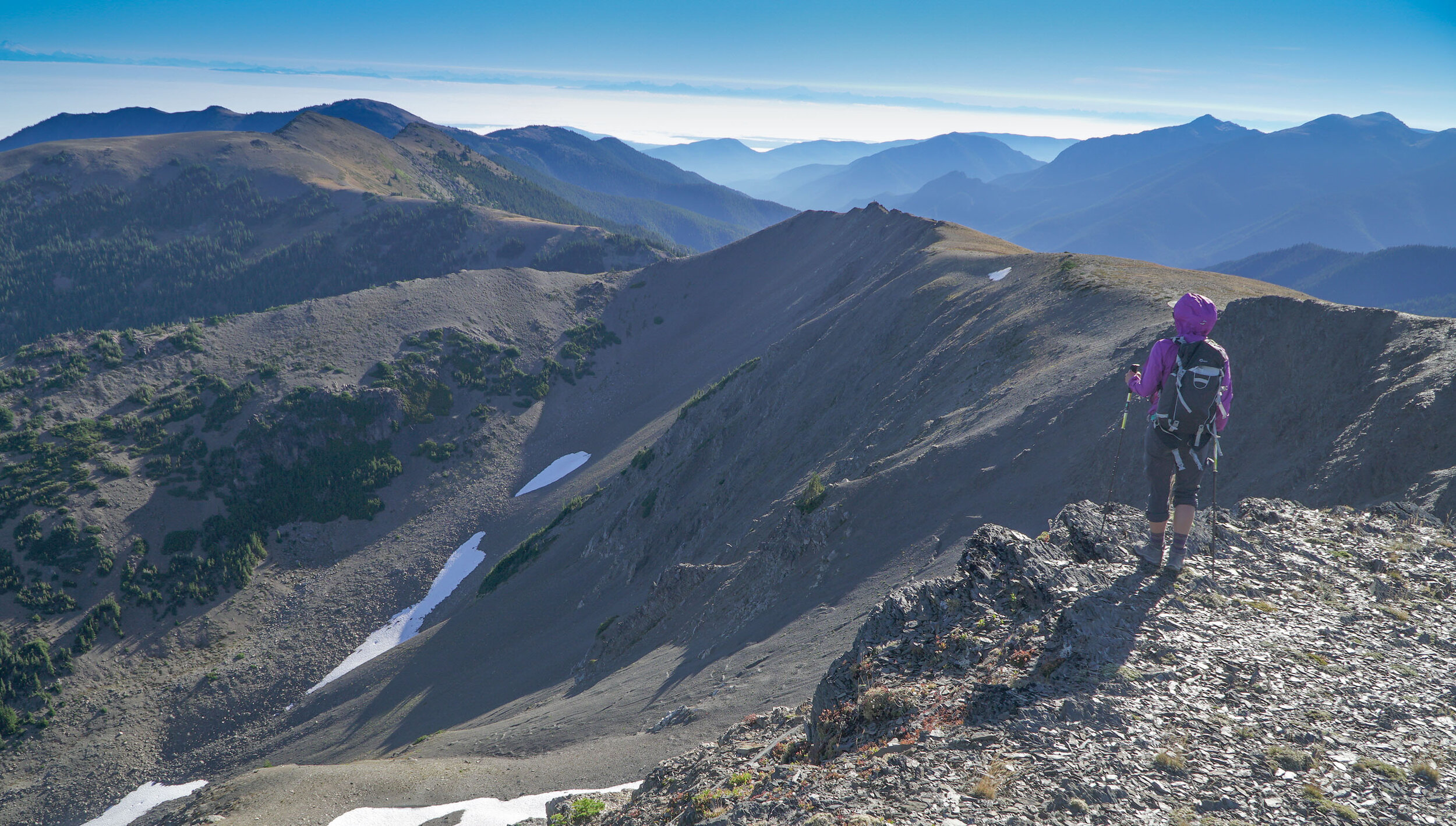
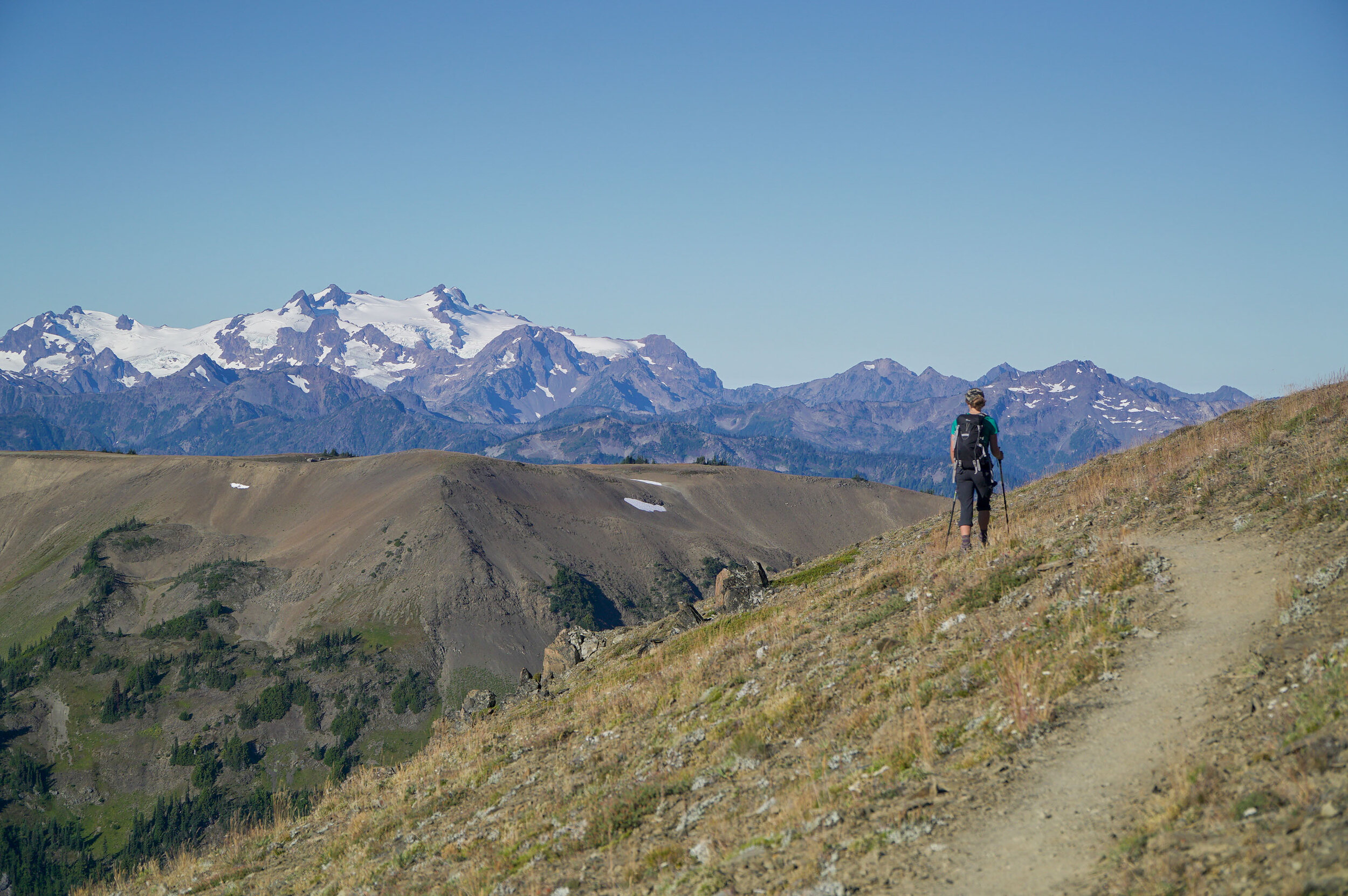
Obstruction Point is a secret spot. At least it seemed like that when we arrived at 8 pm to an empty parking lot.  Most days, you’ll find the Hurricane Ridge parking lot full to the max, but if you are keen like a kook, you'll know the secret road to Obstruction Point.  It’s a dirt road that climbs quite a bit to the trailhead, but it’s a really amazing spot up on the alpine slopes.  We camped at the trailhead and hiked Obstruction Point first thing in the morning.  We were the only humans on the trail. We saw a few marmots and other creatures out and about.  You don't have to do the full 13 miles. You will reach a high point about halfway. That’s a good place to summit Elk Mountain and turn around.  From the summit, you will be able to see the Straight of Juan De Fuca and the Puget Sound, as well as Mt. Baker and Mt. Olympus!  If you start early, you’ll notice that you’ll encounter more people on your way back, and the parking lot will probably be full.  We saw more cars in line at this park's entrance gate than any other park in the country.   

Backpacking the Hoh RIver Trail to the Blue Glacier Olympic National Park Washington  (23 of 30).jpg

Hoh River Trail to Blue Glacier (40 Miles - Hard) 

We could book out an overnight 3 night 4-day backpacking trip up the Hoh River to the Blue Glacier.  If you are up for over 40 miles of backpacking, this trip is so amazing we couldn't recommend it enough!  We loved this trip. It may have been the highlight of our summer.  

Our camping Itinerary for this expedition was as follows.  

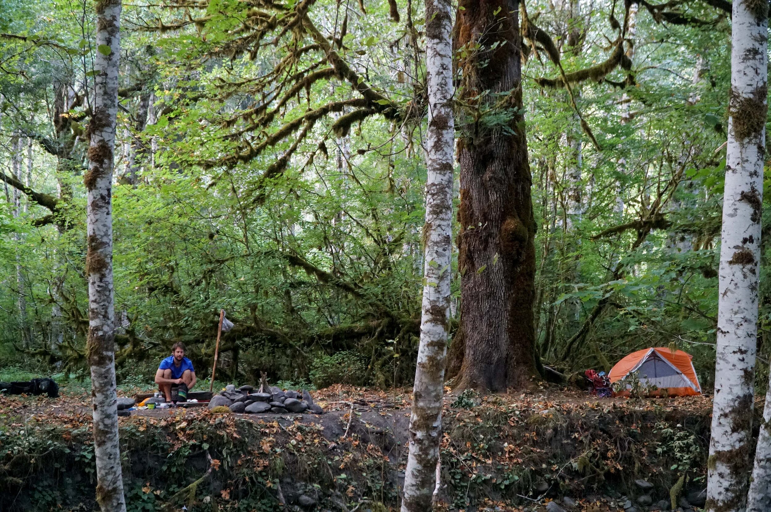
Night #1 - Lewis Meadows

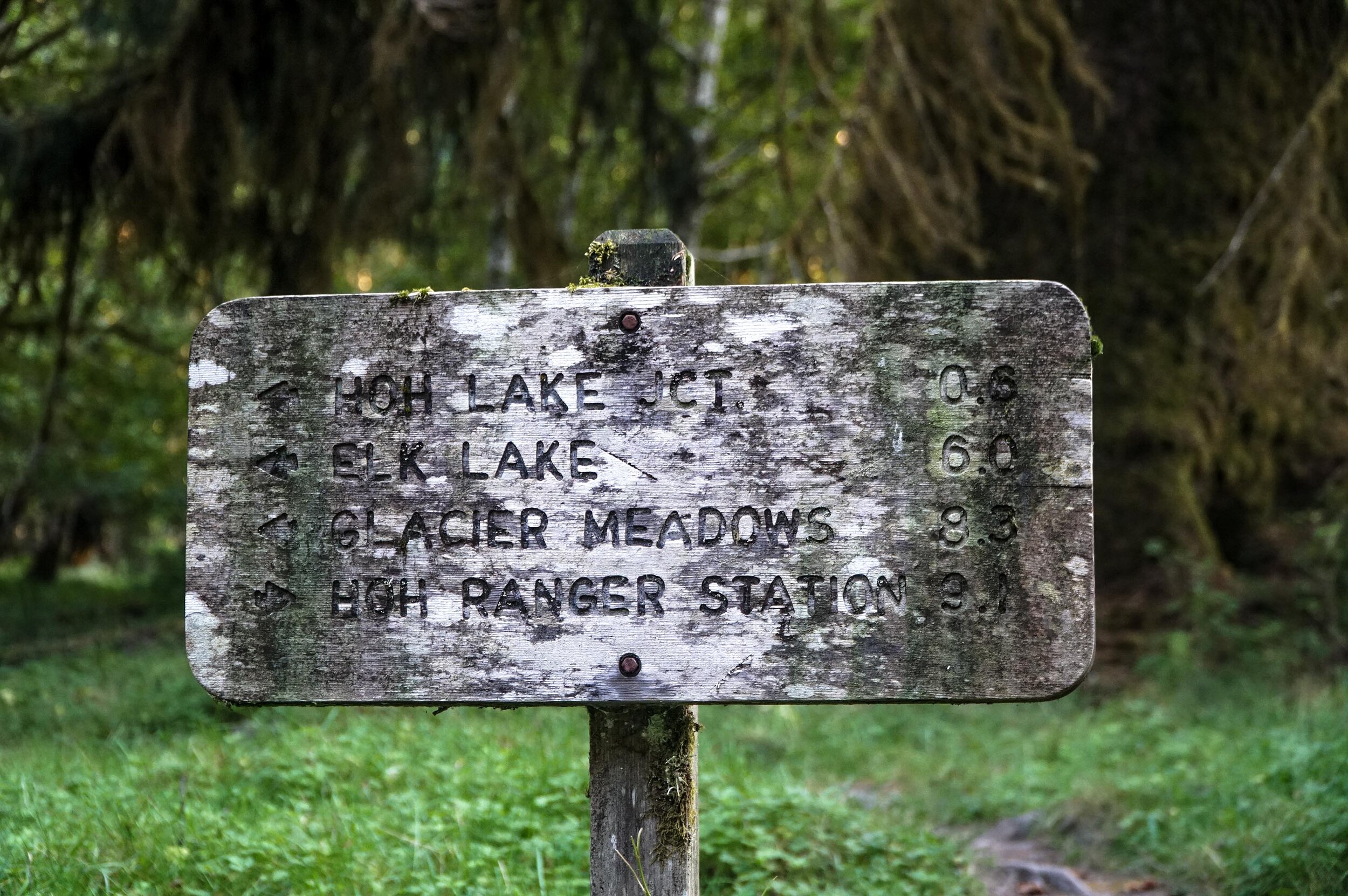
Night #2 - Glacier Meadows

Night #3 - Olympic Gaurd Station

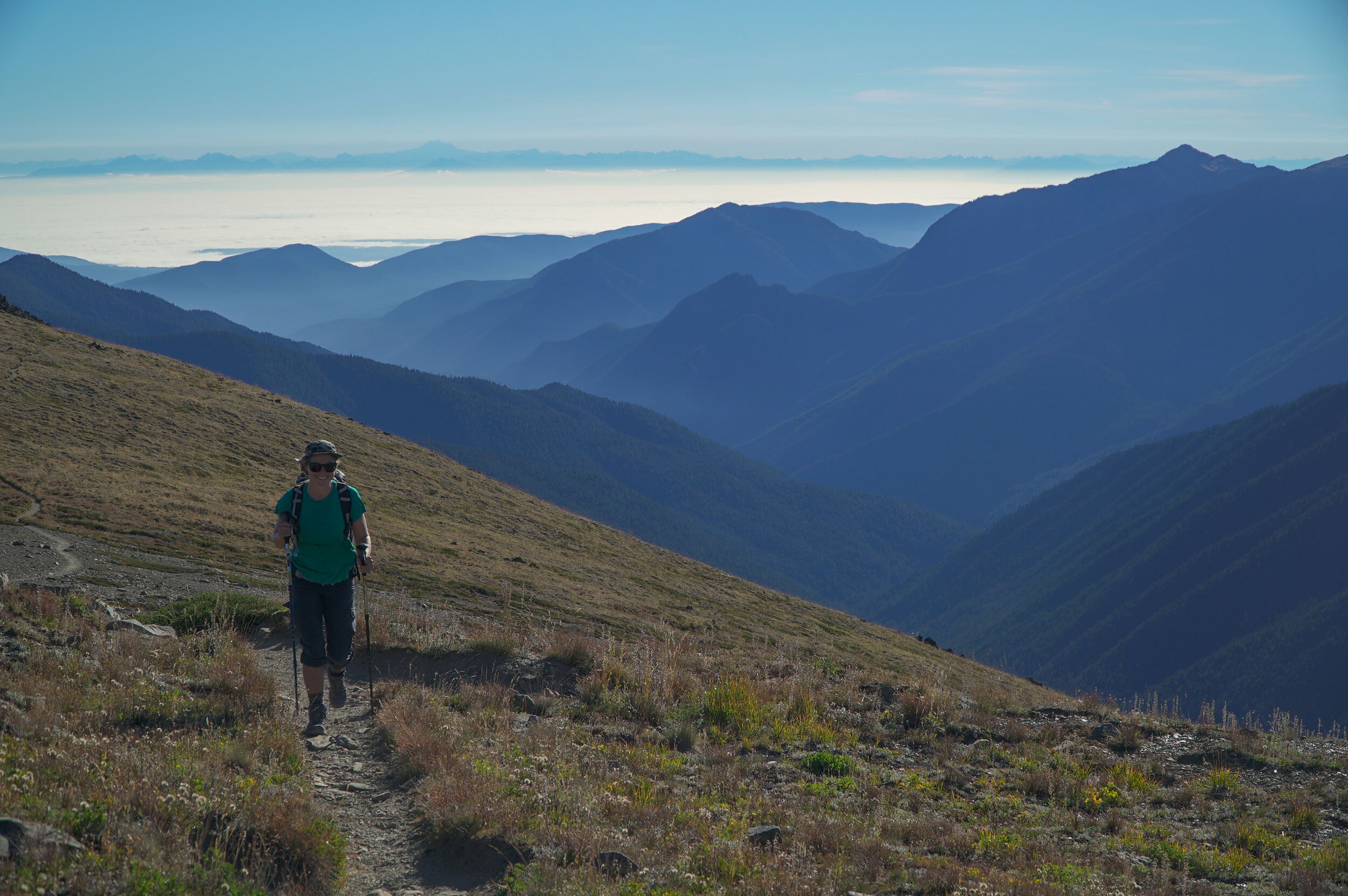
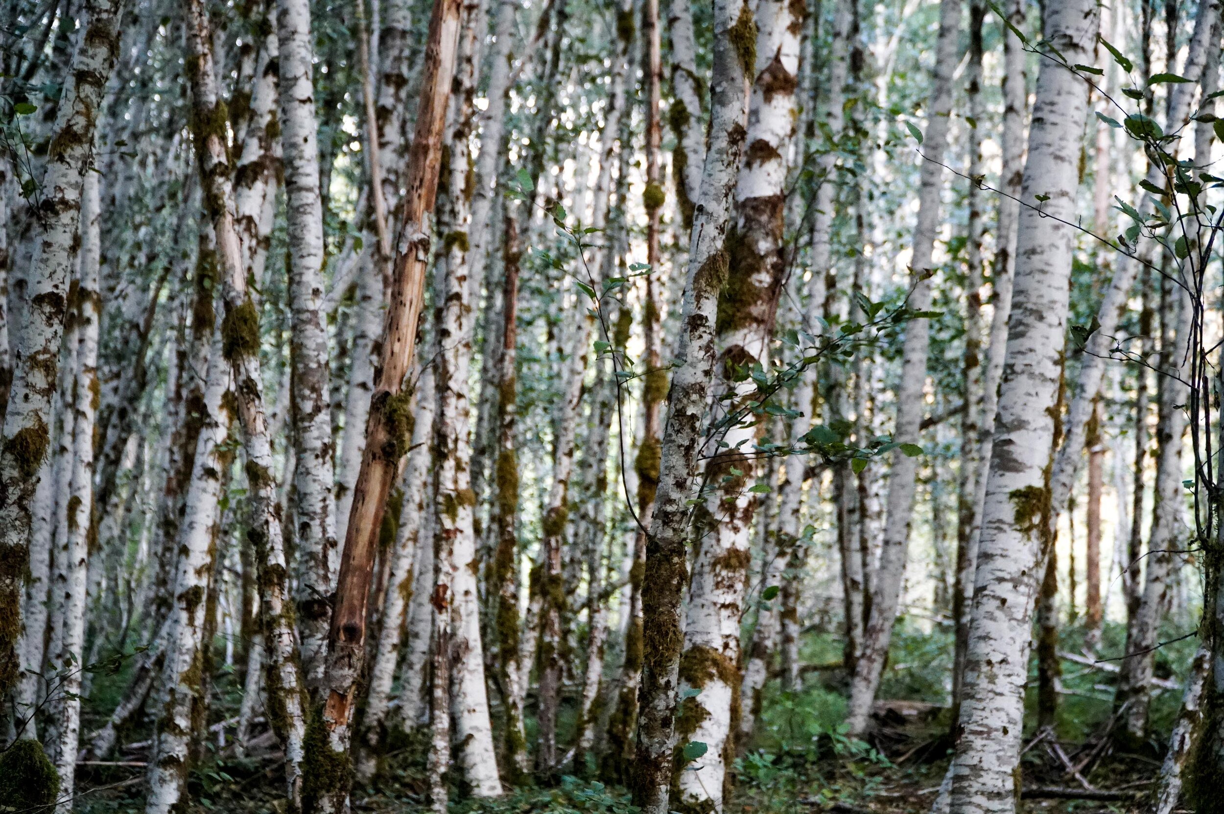
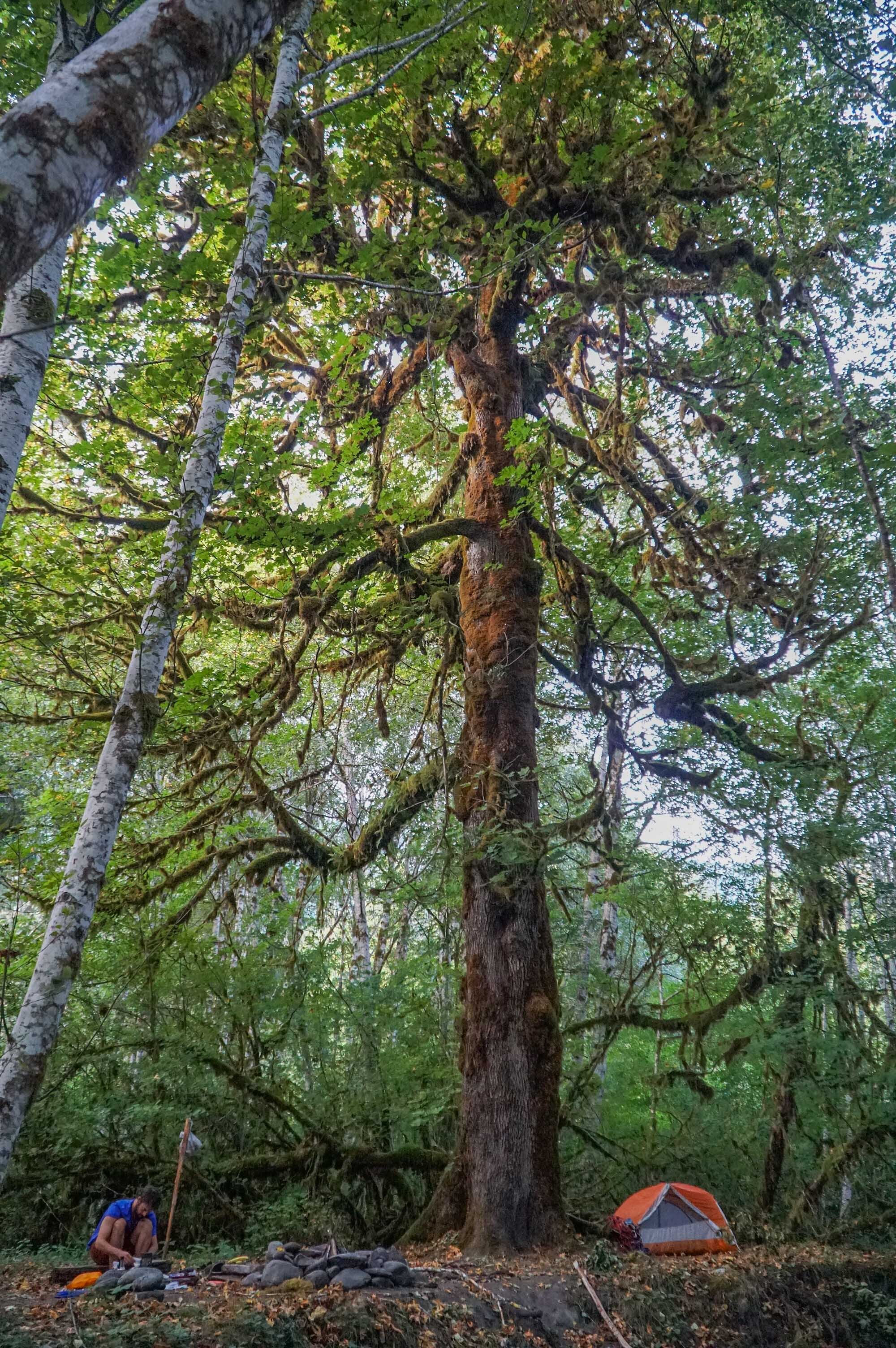
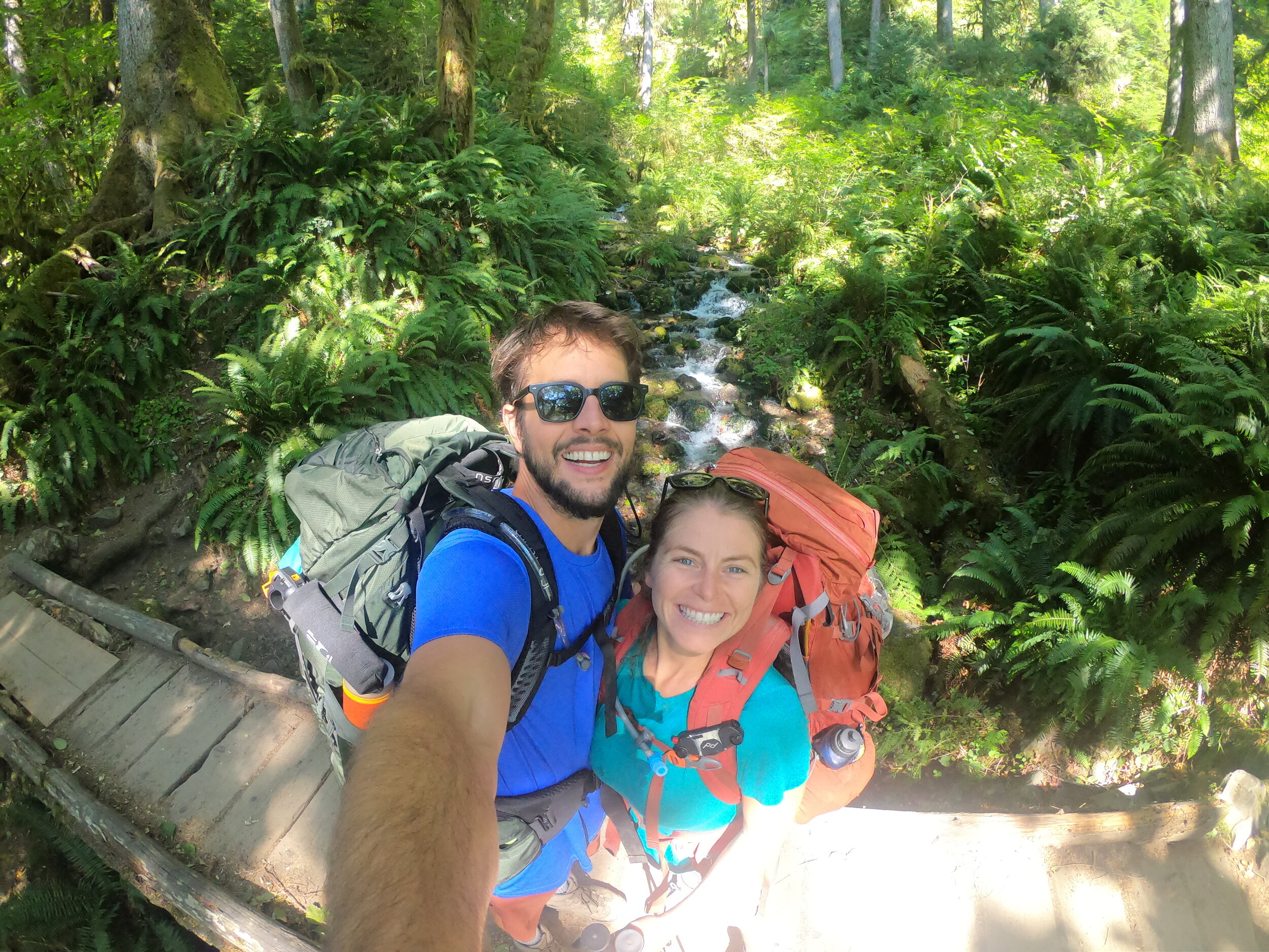
We had plenty of time, and we broke up the expedition into three nights, four days.  We met people who did this in two days, and they could barely walk when we saw them.  I thought one of them had a disability, but he was that sore.  The hike's first 12 miles are through the Hoh Rainforest along the Hoh River and pretty Mellow.  At mile marker 12.4, you’ll begin the climb up to glacier meadows, which is about 4000 feet of elevation, and this is where the training kicked in.  We didn’t have too many problems getting up.  The best part of this climb is that it is through the ancient forest and is nice and shaded, so you stay cool.  When we were there in September, it was pretty hot, and we really sweated it out on the lower section in the sun. 

Blue Glacier Trail Wash out Ladder

Before you make it to Glacier Meadows, you will be warned of a washout section on the trail.  The NPS service will warn you to be ready for this trail washout.  They make it seem like it’s just a small ladder down a washout.  The ladder descends about 100 feet down to the rubble and is family safe, but if you fell, you would be pretty injured, so don't fall!  We will note it’s easier to go up this ladder than down. It’s also very exposed here, and we were burning up in the sun in the late afternoon for this section of the hike.  There are also a few more trailside creeks and streams to filter water on your way to Glacier Meadows.  

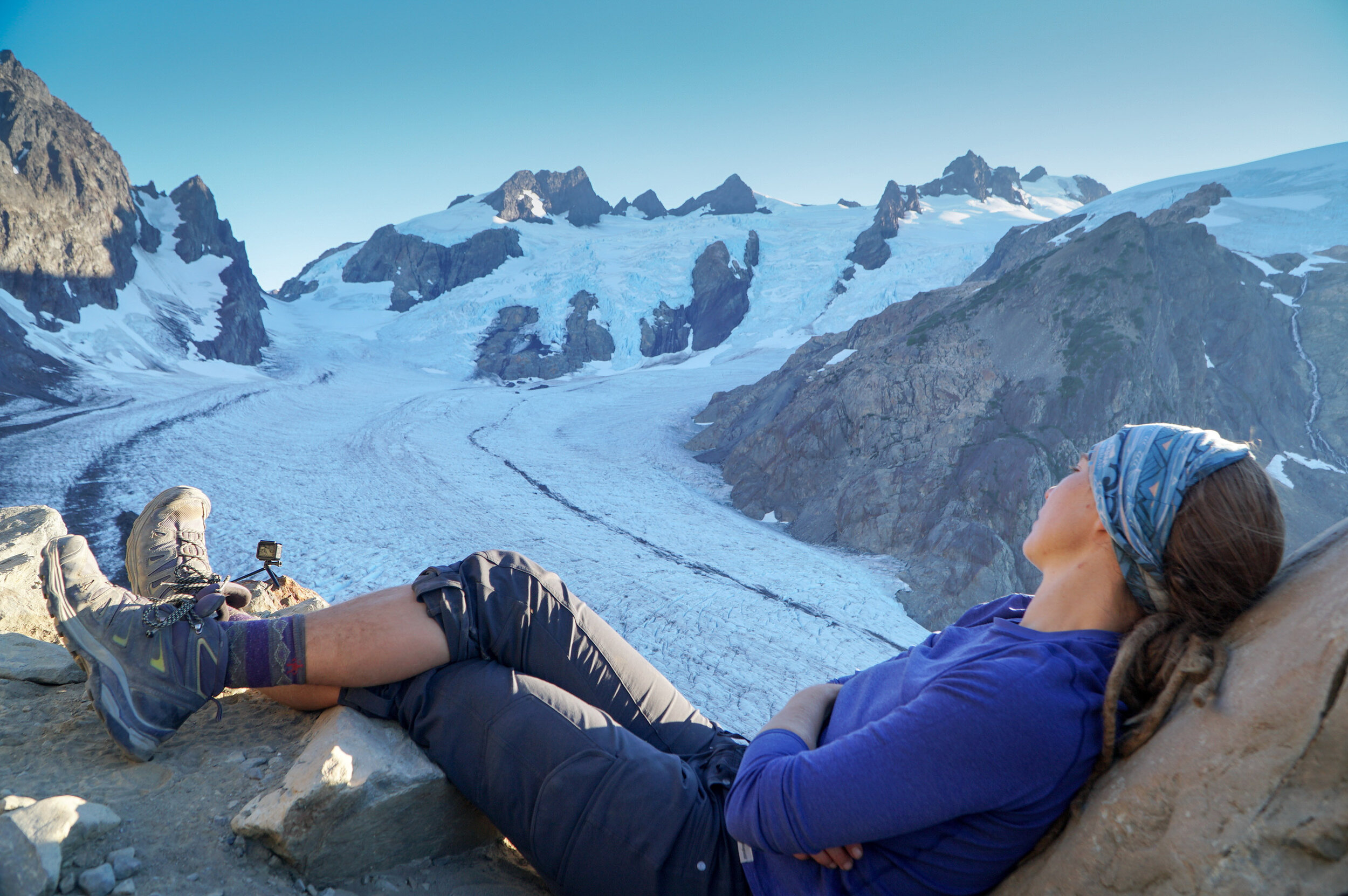
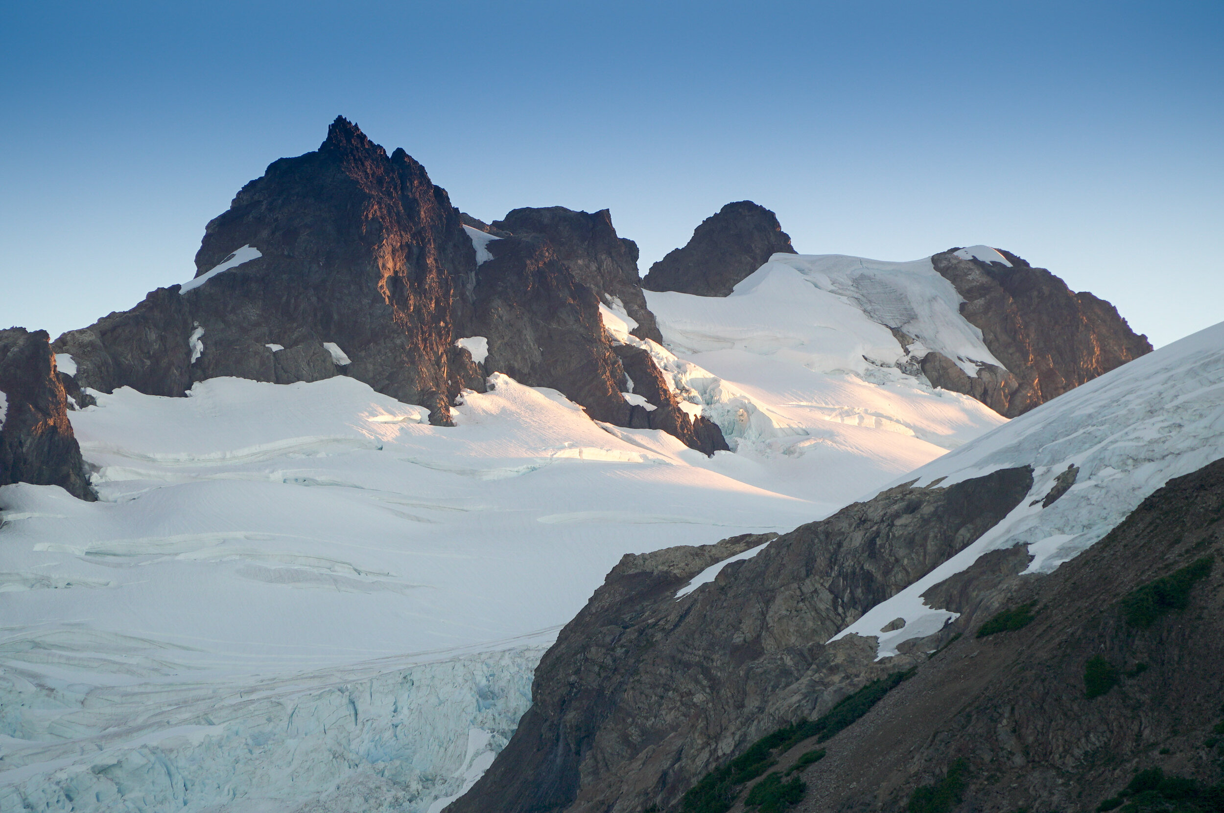
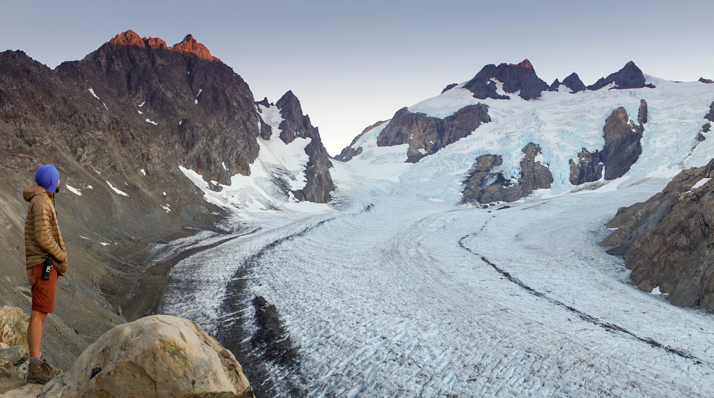
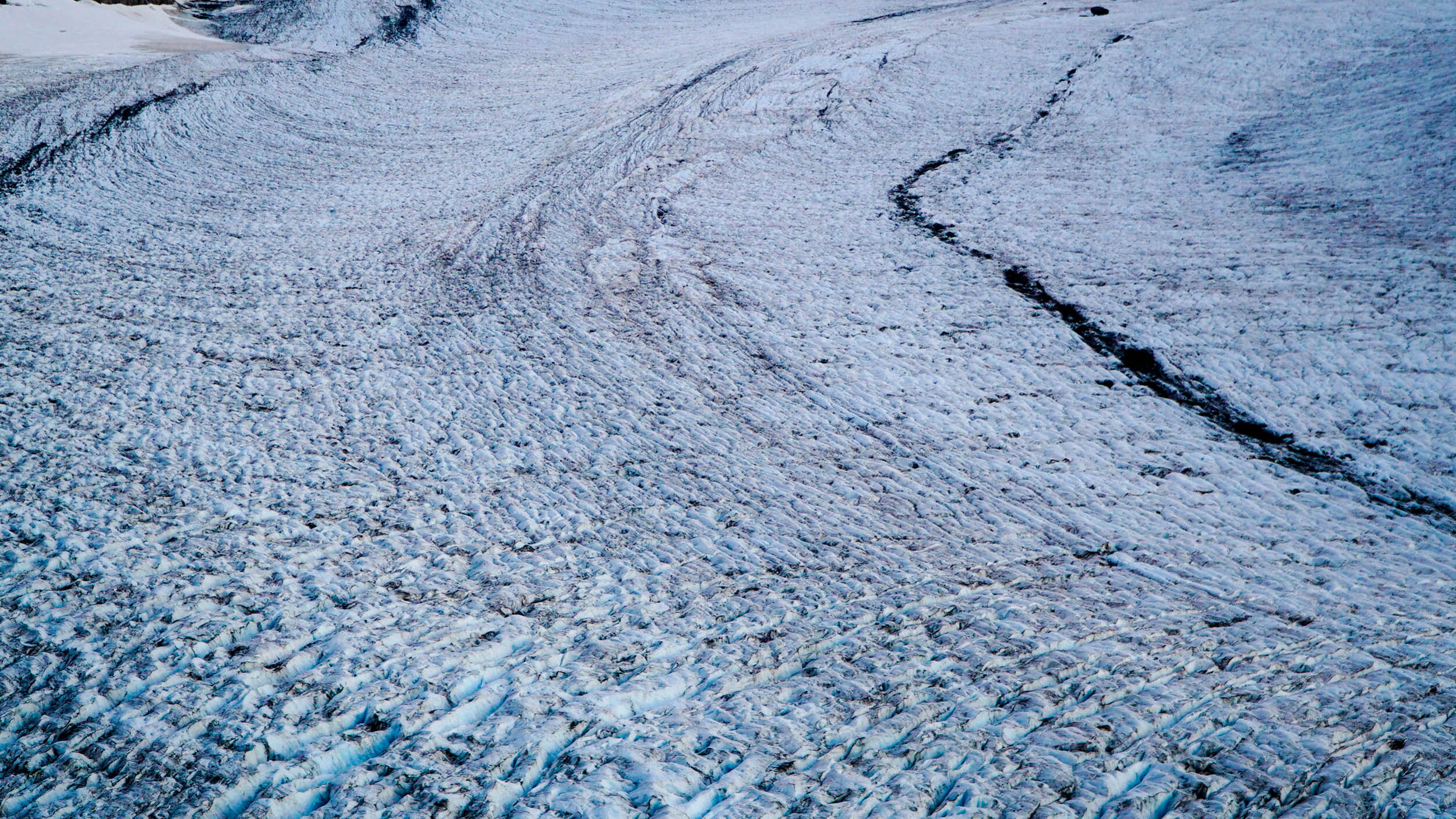
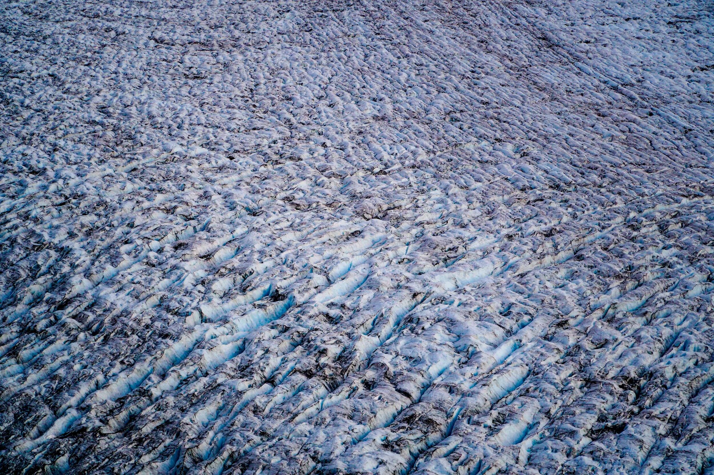
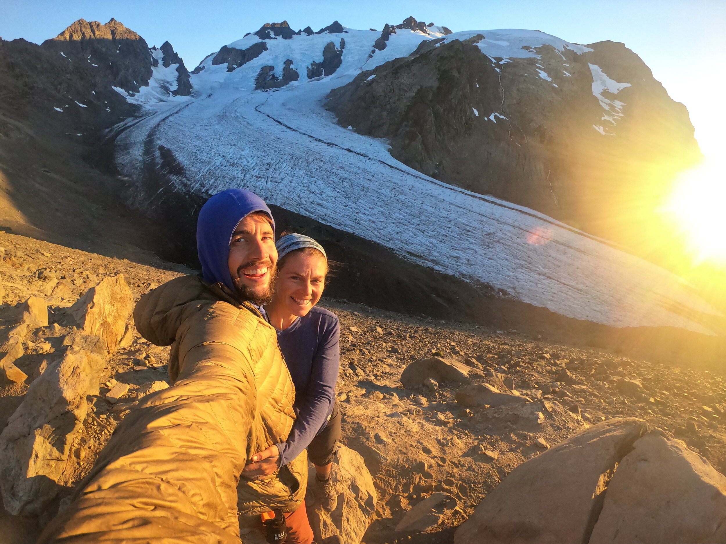
 Eventually, you will make it to Glacier Meadows, and you will be happy to see the campsites.  We will note a small stream at Glacier Meadows to filter water to drink and prepare food with.  From here, there is still about 1000 ft of vertical climb and about a mile of hiking up to the terminal arm.  This is where you realize that every step was worth the effort.  When you top out, you’ll see the Blue Glacier running down Mount Olympus carving a massive moraine.  This is one of the most beautiful things I've ever seen on a backpacking trip.  We got up there around sunset and stayed until it was dark.  We hiked down without headlamps back to Glacier Meadows and slept like babies.  

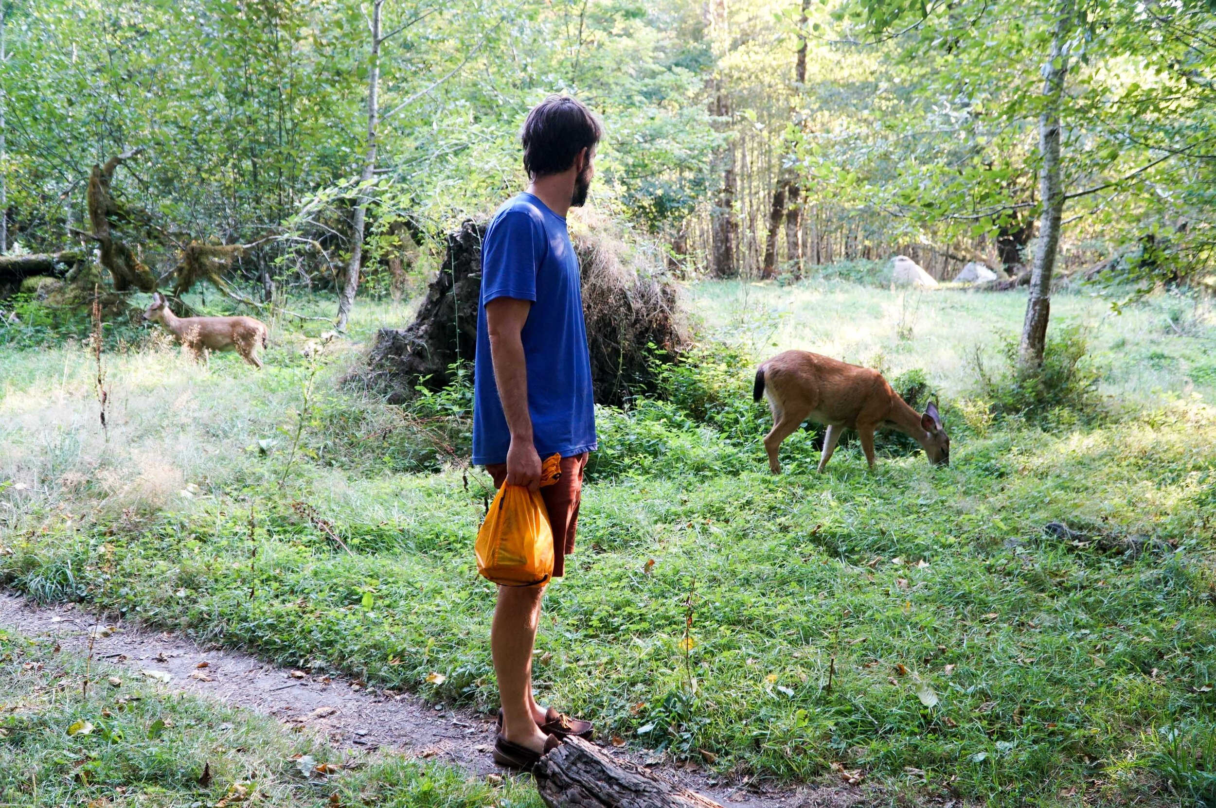
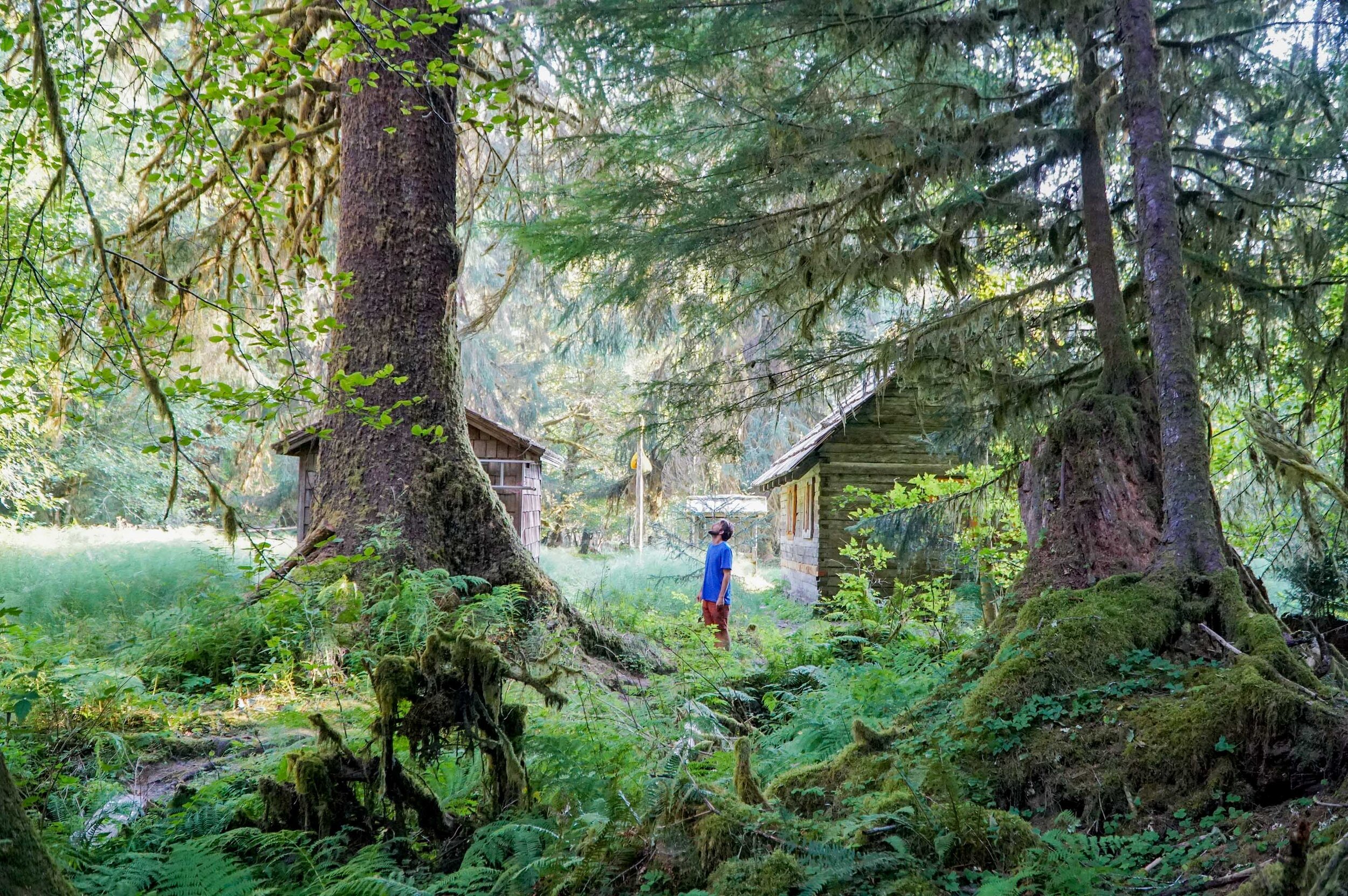
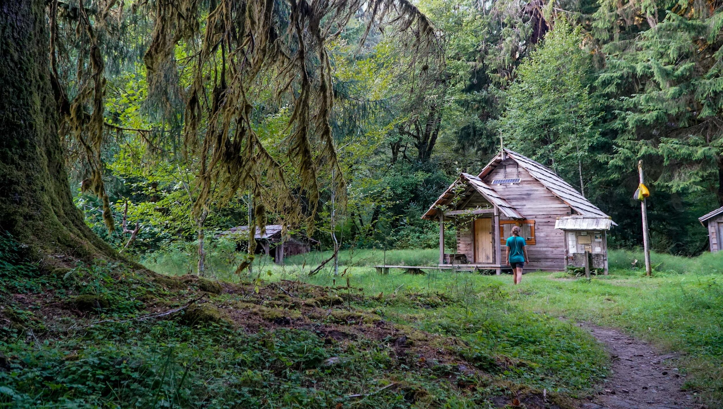
We headed back down in the morning to the Hoh River Ranger Station for our last night.  There are some really awesome campsites here at the Ranger Station.  We will also note that the Ranger came and asked us for permits, so if you are thinking of poaching this hike, you've been warned we saw a ranger here and at Mt. Rainier NP.  We wrapped up the hike the next day out through the Rain Forest. We saw a few Elk and we were stoked to get back to the car to eat some real food.  

We ate and then we headed out.  There are some decent free camping options outside the park along the Hoh River on the park's entrance road. They are surprisingly quiet at night as no one is entering the park after about 5 pm.

Backpacking the Hoh River Trail

This was an amazing experience and we will never forget it.  If you are heading to the Olympic National Park and up for a tough and rewarding adventure and are having trouble booking other expeditions check with the WIC to see if you can plan a Blue Glacier expedition, you won’t regret it!